Company overview
CHC Navigation (CHCNAV) develops positioning, navigation and mapping technologies for surveying, construction, hydrographic work and precision agriculture. Founded in Shanghai in 2003, the company has over 2,200 employees and a distributor network in more than 140 countries. Its hardware range includes GNSS receivers and reference stations, LiDAR scanners, unmanned survey platforms and inertial navigation sensors, complemented by surveying software, point-cloud processing tools and GNSS correction services.
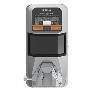
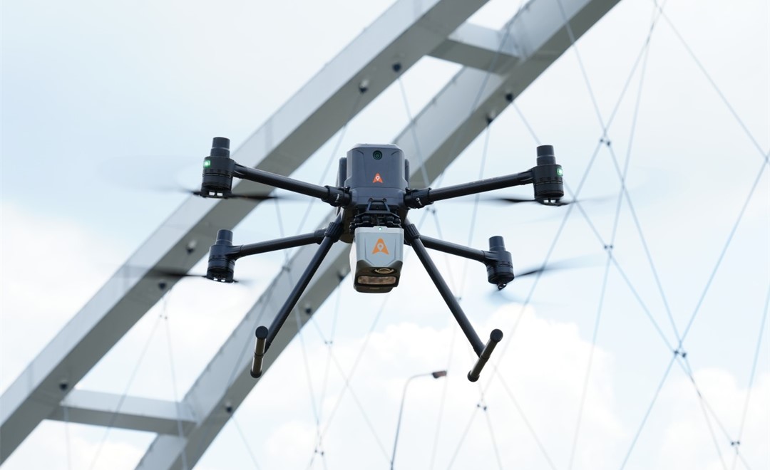
For aerial mapping, CHCNAV offers the X500 professional multirotor drone, AlphaAir airborne LiDAR systems, and C5 orthographic and C30 oblique aerial camera systems. The AlphaAir 10 and AlphaAir 450 combine LiDAR with RGB imaging, while the AlphaAir 6 Dual combines LiDAR measurement with dual-camera imaging. Ground mapping equipment includes the RS10 handheld scanner, which integrates SLAM LiDAR and GNSS RTK for indoor and outdoor 3D capture, alongside the AlphaUni 20 and AlphaUni 1300 multi-platform LiDAR systems.
CHCNAV also supplies APACHE unmanned surface vehicles, single-beam and multibeam echosounders, and acoustic Doppler current profilers for hydrographic surveys, bathymetry and current measurement. Its land-based equipment includes the i93 receiver with GNSS, IMU and dual cameras, excavator guidance systems, automatic 3D control for graders and dozers, and agricultural steering, implement guidance and GNSS land-leveling systems. GNSS and inertial navigation components support positioning applications, while deformation-monitoring equipment tracks ground and structural movement.
Tell us the specifications you need. We can discuss the exact model and configuration for your project.
Discuss sourcing from CHCNAV
Send your application, destination country and expected quantity to the ChinaDrone team. We can discuss product selection, configuration and sourcing from China.
Submit your procurement requirements ↗No account needed. A model number is optional. Your enquiry is handled by ChinaDrone.