Product overview
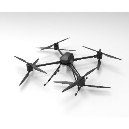
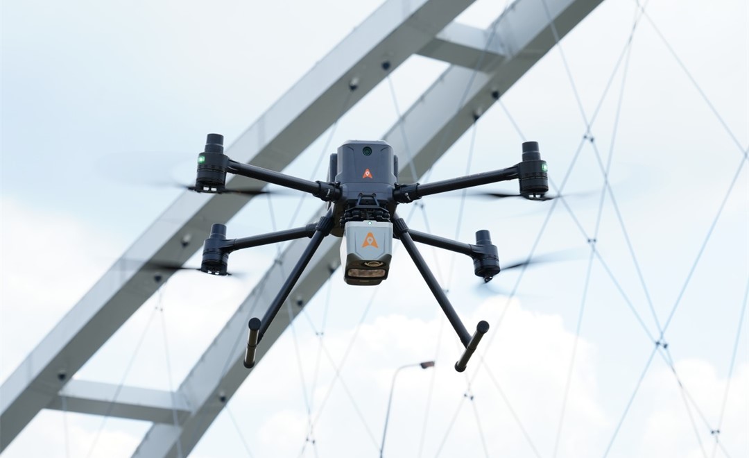
CHCNAV shows the X500 conducting an aerial bridge survey while equipped with an AlphaAir 10 Professional LiDAR system.
Specifications
| Specification | Value & conditions |
|---|---|
| Documented application | Aerial bridge mappingX500 equipped with the AlphaAir 10 Professional LiDAR system. |
| Aircraft type | Multirotor droneX500 |
Request a quote for CHCNAV X500
Send your application, destination country and expected quantity to the ChinaDrone team. We can discuss product selection, configuration and sourcing from China.
Submit your procurement requirements ↗No account needed. A model number is optional. Your enquiry is handled by ChinaDrone.