Product overview
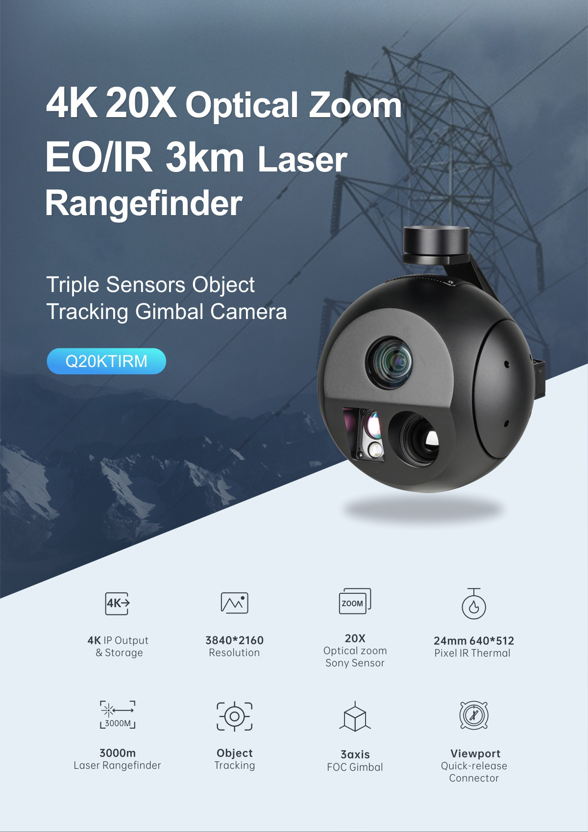
The CHCNAV C30 is an aerial oblique camera system for capturing imagery used in geospatial mapping. Part of CHCNAV's UAS camera range, it provides an oblique imaging option alongside the CHCNAV C5 aerial orthographic camera system. Its role is aerial image capture within a broader mapping portfolio that includes the CHCNAV X500 multirotor survey drone, airborne LiDAR systems, and software for photogrammetry and 3D data processing.
Specifications
| Specification | Value & conditions |
|---|---|
| Camera type | Aerial oblique camera systemC30 |
Request a quote for CHCNAV C30
Send your application, destination country and expected quantity to the ChinaDrone team. We can discuss product selection, configuration and sourcing from China.
Submit your procurement requirements ↗No account needed. A model number is optional. Your enquiry is handled by ChinaDrone.