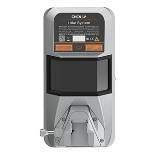
Product overview
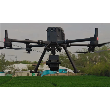
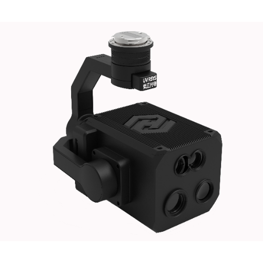
The CHCNAV AlphaAir 15 combines laser scanning, imaging and positioning functions for airborne mapping. Its tilted-prism scanner provides a 75° field of view and up to 16 returns per pulse, supporting ground-point capture through vegetation. Full-constellation GNSS and a 600 Hz IMU support positioning, while the imaging specifications list 45 MP resolution and 21 mm/35 mm focal lengths. External camera choices include 45 MP and 61 MP full-frame calibrated cameras and a 130 MP half-frame oblique camera; these are supported options rather than a defined supplied camera package.
Integration planning must accommodate a 247 x 126 x 156 mm unit weighing 2,5 kg, with CHCNAV’s AlphaPort interface for airborne installation. Onboard storage is 512 GB, with an optional 1 TB upgrade, and Ethernet provides data transfer. The scanner has a maximum range of 1800 m and a stated flying height of up to 700 meters; the specified 1,5 cm precision applies at 150 m. Operating limits are -20°C to +50°C with IP64 protection. SmartGo supports capture and mission monitoring, while CoPre and CoProcess support subsequent processing and feature extraction.
Specifications
| Specification | Value & conditions |
|---|---|
| System type | Airborne LiDAR systemAlphaAir 15 |
| System | Airborne LiDARAlphaAir 15 |
| Model | AlphaAir 15 (AA15)Airborne LiDAR system developed by CHCNAV. |
| Airborne integration | Light aircraft, helicopters and UAV platformsMounting options described for the camera-equipped system. |
| Product | CHCNAV AlphaAir 15 airborne LiDAR system |
| Applications | Corridor mapping, urban planning and vegetation analysis |
| Integration interface | CHCNAV AlphaPort |
| Supported airborne platforms | UAVs, small aircraft and helicopters |
| Laser scanner range | 1800 m |
| Scanning rate | 2.000.000 pulses/sec |
| Field of view | 75° |
| Returns | Up to 16Per laser pulse. |
| Imaging resolution | 45 MP |
| Focal length | 21 mm/35 mm |
| GNSS | Full constellations |
| IMU | 600 Hz |
| Maximum precision | 1,5 cm at 150 mAt 150 m. |
| Data transfer | Ethernet |
| Operating temperature | -20°C to +50°C |
| Protection rating | IP64 |
| Weight | 2,5 kg |
| Dimensions | 247 x 126 x 156 mm |
| Memory | 512 GB; optional 1 TB upgradeOnboard storage; optional upgrade available. |
| Flying height | Up to 700 meters |
| External cameras | 45 MP and 61 MP full-frame calibrated cameras; 130 MP half-frame oblique cameraSupported external camera options. |
| Scanner technology | Tilted-prism technology |
| Software integration | SmartGo for automated reality capture and mission monitoring; CoPre and CoProcess for post-processing and feature extraction |
Request a quote for CHCNAV AlphaAir 15
Send your application, destination country and expected quantity to the ChinaDrone team. We can discuss product selection, configuration and sourcing from China.
Submit your procurement requirements ↗No account needed. A model number is optional. Your enquiry is handled by ChinaDrone.