Product overview
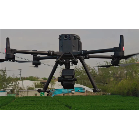
The system uses DJI M350/M300RTK aircraft as its flying platform.
It measures spectral images of plants, water and soil for precision agriculture, crop growth and yield assessment, forest pest and fire monitoring, and coastal, marine, lake and watershed environmental monitoring.
Its equipment includes a stabilized gimbal, hyperspectral imager, embedded data acquisition, processing and storage unit, wireless image transmission system, GPS-RTK navigation, ground receiving workstation, ground control system and reflectance calibration panel.
Specifications
| Specification | Value & conditions |
|---|---|
| Flying platform | DJI M350/M300RTKPlatforms specified in the Chinese description attached to the FS-60UC model record. |
Request a quote for FS-60UC
Send your application, destination country and expected quantity to the ChinaDrone team. We can discuss product selection, configuration and sourcing from China.
Submit your procurement requirements ↗No account needed. A model number is optional. Your enquiry is handled by ChinaDrone.