Product overview
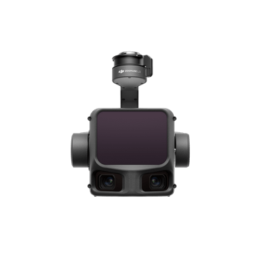
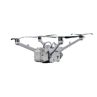
The CHCNAV AlphaAir 450, also called the AA450, is an airborne LiDAR and RGB sensing system from CHC Navigation for aerial surveying and mapping. Introduced in March 2021 as a UAV LiDAR system, it combines laser measurement with RGB imaging to collect geospatial data for civilian mapping and topographic surveys. Within CHC Navigation's hardware range, the AlphaAir 450 is survey equipment; the X500 multirotor is a separate UAV platform. Its configuration brings LiDAR data capture and aerial imagery together for surveying workflows.
Tell us the specifications you need. We can discuss the exact model and configuration for your project.
Request a quote for AlphaAir 450
Send your application, destination country and expected quantity to the ChinaDrone team. We can discuss product selection, configuration and sourcing from China.
Submit your procurement requirements ↗No account needed. A model number is optional. Your enquiry is handled by ChinaDrone.