Product overview
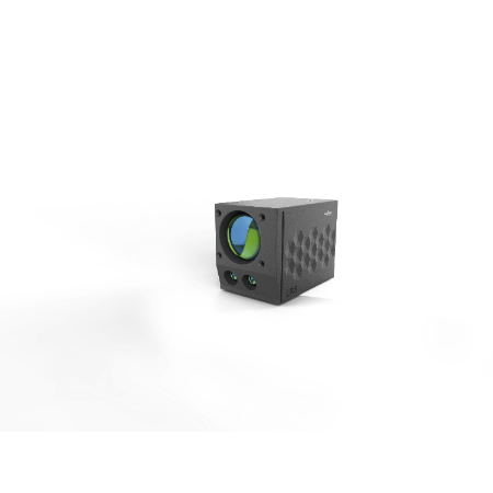
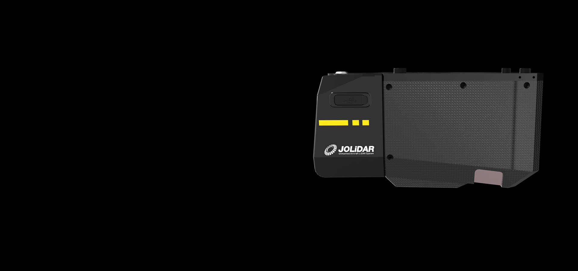
CHCNAV AlphaAir 6 is an airborne LiDAR measurement and imaging system for aerial surveying and geospatial mapping. It combines laser measurement with image capture, placing it within CHCNAV's range of airborne systems for topographic surveys. The range also includes the separately named AlphaAir 6 Dual, which is described as a LiDAR and dual-camera system; that configuration should not be assumed for the AlphaAir 6.
Specifications
| Specification | Value & conditions |
|---|---|
| System type | Airborne LiDAR and imaging systemAlphaAir 6 |
| System | LiDAR measurement and imagingAlphaAir 6 |
Request a quote for CHCNAV AlphaAir 6
Send your application, destination country and expected quantity to the ChinaDrone team. We can discuss product selection, configuration and sourcing from China.
Submit your procurement requirements ↗No account needed. A model number is optional. Your enquiry is handled by ChinaDrone.