Product overview
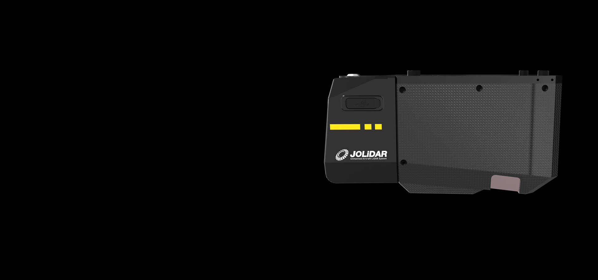
JoLiDAR-1000 integrates a laser scanner, GNSS positioning, inertial navigation, high-speed data acquisition and a half-frame camera for mapping and power line inspection in challenging terrain.
JOUAV lists the CW-15 VTOL drone and PH-20 multirotor drone as compatible platforms for the JoLiDAR-1000 scanner.
The system combines camera images with LiDAR data to produce true-color point clouds for interpreting surveyed environments.
JOUAV describes its performance data as theoretical values obtained in internal laboratory tests under particular conditions. Actual performance can vary with product configuration, software versions, application conditions and environmental factors.
Specifications
| Specification | Value & conditions |
|---|---|
| Applications | Large-area mapping, power line inspection and road constructionApplications. |
| Compatible drones | CW-15 and PH-20Platforms listed by JOUAV for integration with the JoLiDAR-1000 scanner. |
Request a quote for JOUAV JoLiDAR-1000 LiDAR system
Send your application, destination country and expected quantity to the ChinaDrone team. We can discuss product selection, configuration and sourcing from China.
Submit your procurement requirements ↗No account needed. A model number is optional. Your enquiry is handled by ChinaDrone.