Find aircraft and components for your next project.
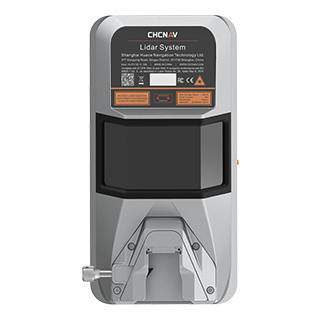
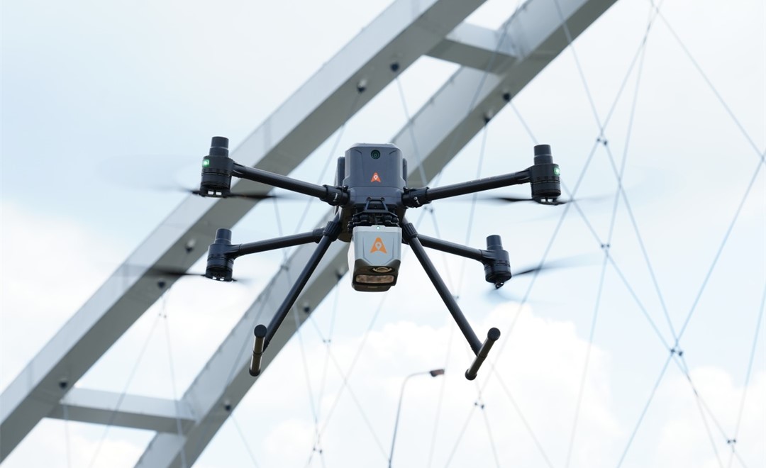
The CHCNAV AlphaAir 15 is a compact airborne LiDAR mapping system for integration with UAVs, small aircraft and helicopters. It combines scanning at 2 million pulses per second with imaging and GNSS/IMU positioning, supporting corridor surveys, urban mapping and vegetation analysis within a 2,5 kg package.
An ultra-long-range airborne LiDAR system for civilian geospatial surveying.
The AlphaAir 450 is a UAV LiDAR system for aerial surveying and mapping.
An airborne LiDAR and imaging system.
An airborne LiDAR system with dual cameras.
The CHCNAV B760 is a high-precision GNSS positioning board.
The CHCNAV C30 is a camera system for aerial oblique imaging.
The CHCNAV C5 is an aerial orthographic camera system.
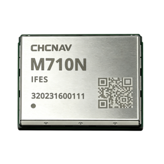
The M710N is a compact GNSS module for embedded positioning.
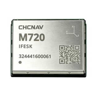
The M720 is a GNSS positioning module.
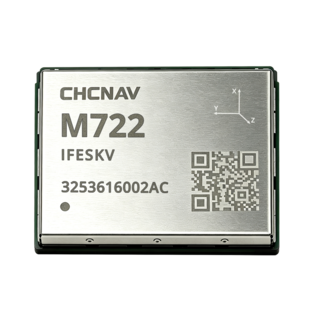
The CHCNAV M722 is a GNSS positioning and heading module.
The CHCNAV X500 is a drone used for aerial bridge mapping.
 inspection
 industry
 industry
 industry
 inspection