ChinaDrone.Request a quote ↗
COMPONENT

H2L Handheld UAV Detection And Positioning Equipment

By Tatusky Technology Co., Ltd ↗

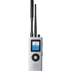
Tatusky’s H2L is handheld UAV detection and positioning equipment combining spectrum detection, protocol analysis and RID identification. It supports real-time warnings and trajectory tracking of common UAVs and pilots (remote control), with environment-dependent detection and positioning ranges and 3–4 hours of endurance.

Get a free sourcing quote for H2L Handheld UAV Detection And Positioning Equipment

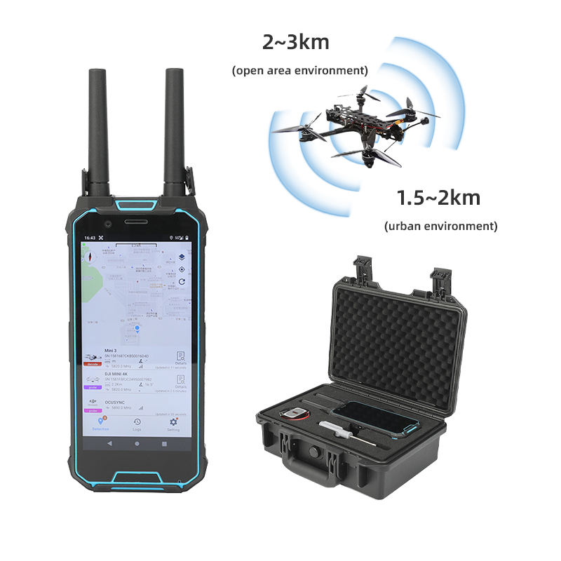
H2L handheld UAV detection and positioning equipment with twin antennas and an open carrying case
Product identityH2L Handheld UAV Detection And Positioning Equipment
Portable configuration and integrated functionsThe description names TTSKL02 as a single-operator portable product integrating UAV spectrum detection, protocol analysis and RID identification.
Detection and tracking functionsSingle-unit real-time UAV detection and early warning, with positioning and trajectory tracking of common UAVs and pilots (remote control).Common UAVs and pilots (remote control).
Physical designCompact, portable design.
Detection frequency band100MHz ~ 6GHz
Detection radius1.5~2km (urban environment); 2~3km (open area environment)Urban environment; open area environment.

Product overview

Tatusky’s H2L Handheld UAV Detection And Positioning Equipment is a compact portable unit for UAV monitoring and security duties. Its functions encompass UAV spectrum detection, protocol analysis and RID identification. A single unit supports real-time detection and early warning, plus positioning and trajectory tracking of common UAVs and pilots (remote control). Deployment settings include major-event security, guard support, patrols, border defense, airports, power facilities and petrochemical parks. The portable product description uses the designation TTSKL02.

The detection frequency band is 100MHz to 6GHz, with a response time of 3–5 seconds and simultaneous detection capacity of at least 10 sorties. Detection radius is 1.5–2km in an urban environment and 2–3km in an open area. Positioning range is 1–2km in an urban environment and 2–3km in an open area. Endurance is 3–4 hours. These environment-specific ranges distinguish the equipment’s detection reach from its positioning reach, particularly for urban deployments.

Specifications

SpecificationValue & conditions
Product identityH2L Handheld UAV Detection And Positioning Equipment
Portable configuration and integrated functionsThe description names TTSKL02 as a single-operator portable product integrating UAV spectrum detection, protocol analysis and RID identification.
Detection and tracking functionsSingle-unit real-time UAV detection and early warning, with positioning and trajectory tracking of common UAVs and pilots (remote control).Common UAVs and pilots (remote control).
Physical designCompact, portable design.
Detection frequency band100MHz ~ 6GHz
Detection radius1.5~2km (urban environment); 2~3km (open area environment)Urban environment; open area environment.
Response time3~ 5s
Positioning range1~2km (urban environment); 2~ 3km (open area environment)Urban environment; open area environment.
Detection quantity≥ 10 sorties (simultaneously)Simultaneous detection.
Endurance3~ 4h
Deployment settingsMajor-event security, guard duty support, security patrol, counterterrorism, political core areas, border defense, airports, power facilities and petrochemical parks.

Ask for the H2L Handheld UAV Detection And Positioning Equipment price ↑
More payloads & thermal cameras from Chinese manufacturers →
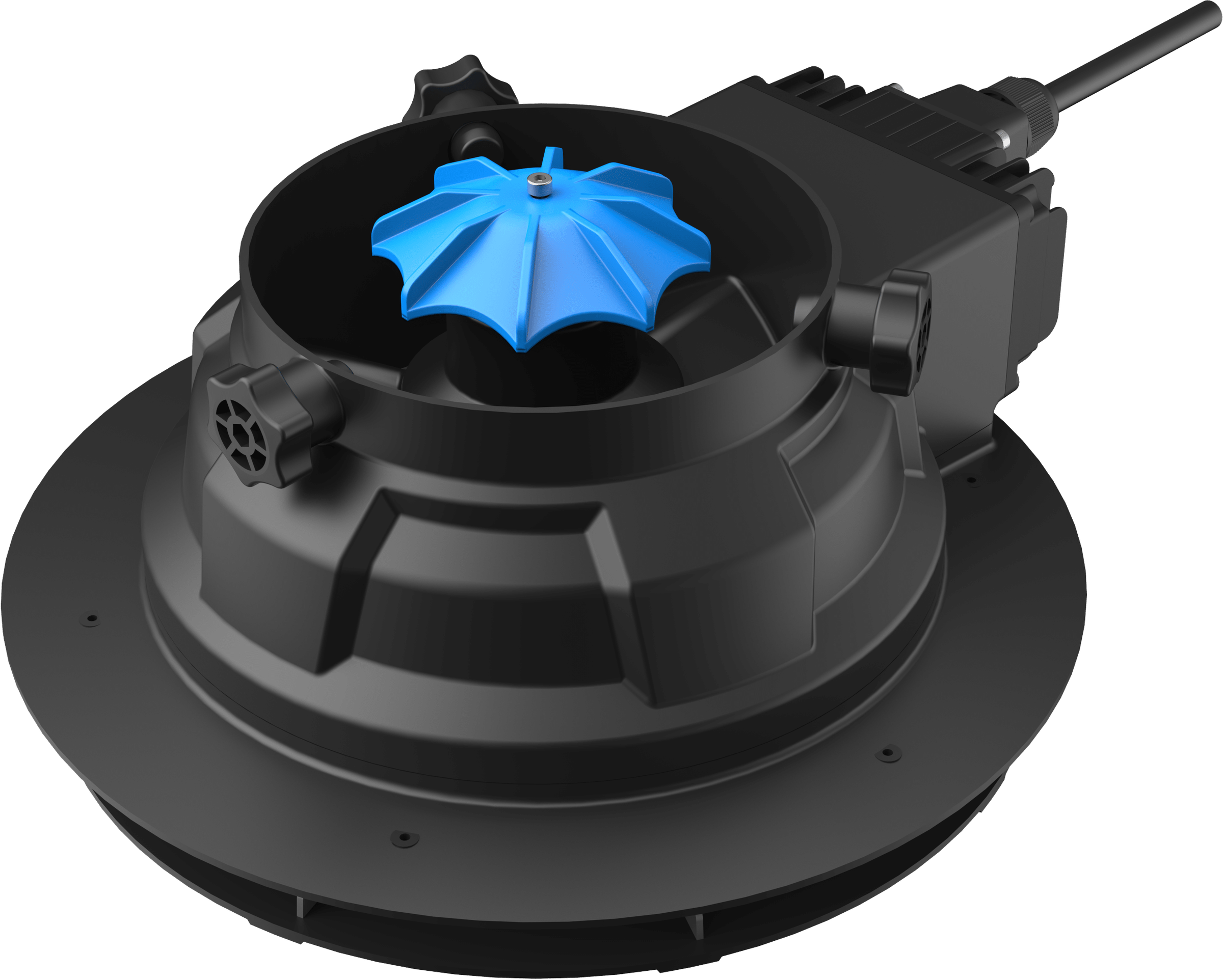
EFT EPS200 Pro spreading payload with black housing and blue umbrella-shaped stirring plate
Component

EFT EPS200 Pro

EFT

The EFT EPS200 Pro is an agricultural UAV spreading payload for grain, fertilizer and bait used in sowing, fertilizing and feeding. This independent subsystem combines a metal stirring and spreading assembly, separate tank architecture, sealed electronics, and PWM or CAN bus control, with optional weighing and flow calibration.

Skytech Drop Rope deployment device with rope spool and red hook
Component

Drop Rope

By Skytech

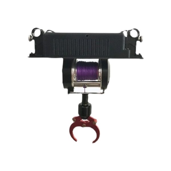
The Skytech Drop Rope is an aircraft-powered rope deployment device for emergency rescue and aerial cargo drops. Its quick-release assembly combines Dyneema rope, a reciprocating line organizer and a mechanical gravity hook within a carbon-fiber and sintered-nylon exterior. It supports a maximum load of 5KG, with 30M of deployment line and independent remote control.

DJI Zenmuse XT S camera and gimbal
Component

Zenmuse XT S

By DJI

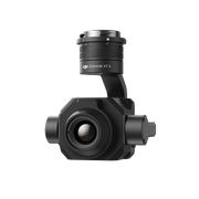
The DJI Zenmuse XT S is a detachable thermal camera and gimbal for supported Matrice aircraft. It combines 640×512 imaging, a 19 mm lens, spot and area temperature measurement, and IP44 protection. The single model configuration includes a 32G microSD card and supports Android DJI Pilot.

SIYI ZT30 gimbal camera with quick-release vibration-damping mount
Component

SIYI ZT30 Gimbal Camera

SIYI

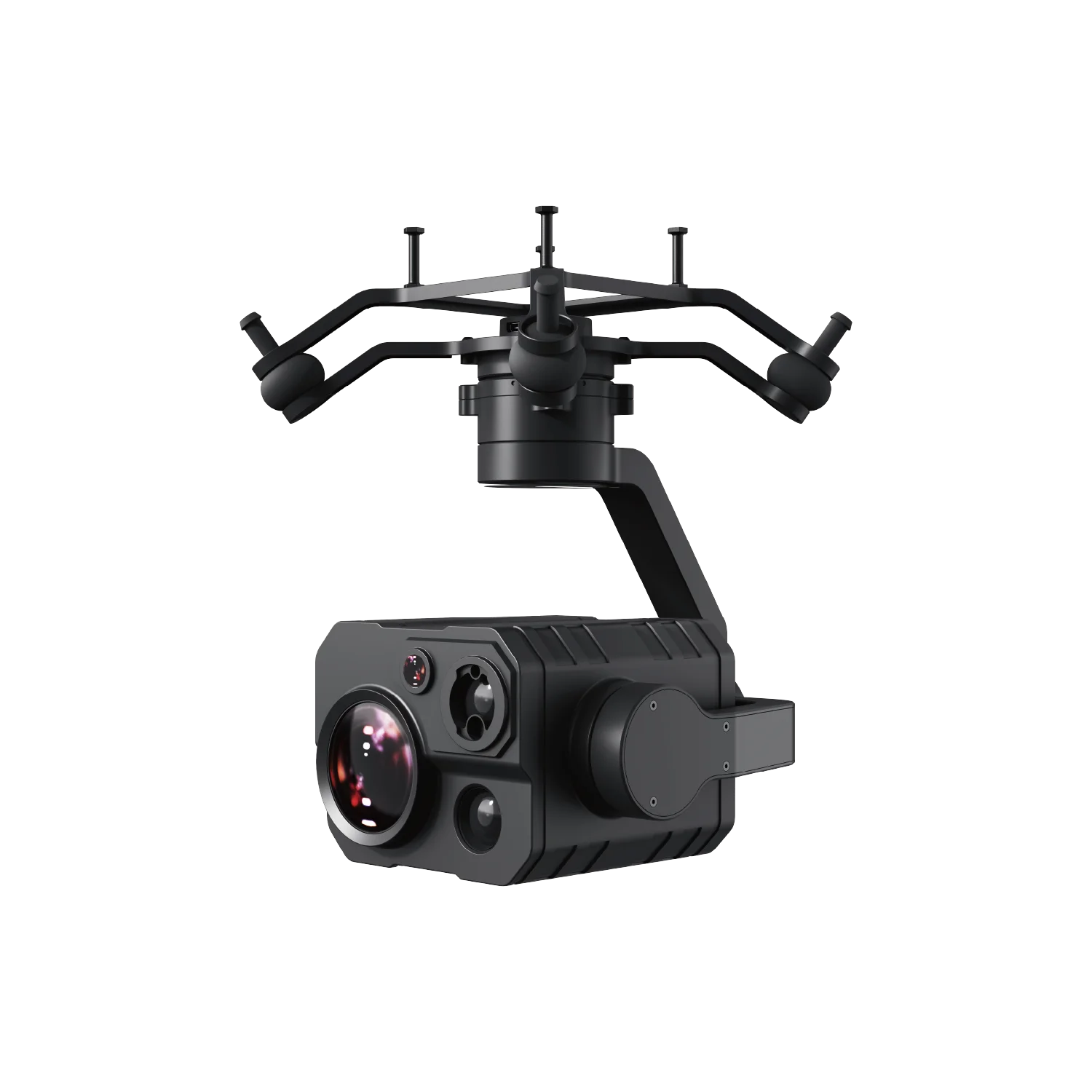
The SIYI ZT30 gimbal camera package combines a camera unit with a quick-release vibration-damping mounting claw, mounting screws and power, video and control cables. Supplied integration accessories include Ethernet, S.Bus and a UART cable for Ardupilot/PX4 flight controllers. Packaged dimensions and weight apply to the configuration including packaging.

Benewake TF02-Pro LiDAR sensor with black housing, two front windows and an attached cable.
Component

Benewake TF02-Pro

Benewake

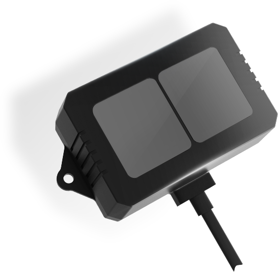
The Benewake TF02-Pro is an enclosed single-point time-of-flight LiDAR for distance sensing and drone altitude holding. It combines IP65 protection, UART and I²C connectivity, and DC 5V to 12V input, with a 0.1 ~ 40 m measurement range at 90% reflectivity.

Ladasky LDK-D01 fixed drone detection and positioning system with white housing on a tripod
Component

Ladasky LDK-D01

Ladasky

The Ladasky LDK-D01 is a fixed passive drone detection and positioning system for continuous outdoor site monitoring. It provides 360° coverage, compatible aircraft and controller positioning, and multiple trajectory tracking. Independent offline operation and network integration support individual sites or broader deployments, while countermeasure and deception devices remain external.

KEEP EXPLORING

Similar products

Browse all products ↗
TTSK-D01 fixed passive UAV detection and positioning unit with a white cylindrical enclosure
Cameras & sensors

Tatusky TTSK-D01

By Tatusky Technology Co., Ltd

The Tatusky Technology Co., Ltd TTSK-D01 is a fixed outdoor passive RF system for detecting UAVs and locating drones and pilot controllers. Its IP65 detector supports offline operation, networked installations and countermeasure linkage. Detection spans 100MHz – 6000MHz and 1–10km, subject to the site electromagnetic environment, with up to 10km requiring open, unobstructed surroundings.

Flight control & navigation

BWSENSING IMU200

BWSENSING

The Wuxi Beiwei Sensing Technology IMU200 is a low-cost inertial measurement unit for integration into unmanned aircraft, robotics and stabilization systems. It offers selectable serial interfaces, sampling up to 500 Hz, a 9–36 V DC supply range and compact unit and mainboard dimensions, with operation from -40 to +85 °C.