Product overview
The Tatusky Technology Co., Ltd TTSK-D01 is a stationary detection and positioning system intended for long-term outdoor installation around government venues, airport perimeters and industrial compounds. Its passive RF receiver captures UAV transmissions without emitting electromagnetic signals. It obtains drone serial numbers, geographic coordinates, speed, altitude, takeoff coordinates and home points, together with the pilot controller’s longitude, latitude and azimuth. Supported detection categories include DJI, Autel, Hubsan, Tello, FPV racing drones and self-assembled UAVs. Named DJI models for localization include Mavic, Air, Mini, FPV and Avata.
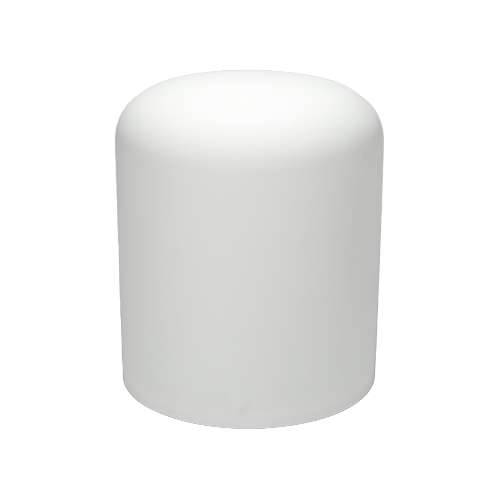
The physical configuration comprises a fixed outdoor detector with an IP65 enclosure and a main-unit weight of ≤15kg. Its specified dimensions are (H 56mm* Diameter 46mm)±2mm. Installation requires AC 100V–220V power, with total consumption of ≤100W, and the operating temperature range is -20℃ ~ +65℃. Independent offline operation supports standalone deployment, while multi-unit networking allows a larger installation. Reserved interfaces provide linkage to supporting countermeasure equipment, and multiple electronic map engines are supported. Local historical records can be presented through line charts, thermal maps and other graphs.
Detection covers 100MHz – 6000MHz and heights of 0m – 1000m. The effective distance is 1–10km, subject to the site electromagnetic environment; reaching up to 10km requires open, unobstructed surroundings. Tracking capacity is ≥5 aircraft, with positioning accuracy of ≤10m, azimuth error of ≤1.5° RMS, identification response time of ≤5s and a detection success rate of ≥95%. Built-in white/black list classification suppresses alarms for pre-approved cooperative UAVs. Unauthorized airspace intrusion triggers visible-light and audible notifications, while separate target trajectories support concurrent monitoring.
Specifications
| Specification | Value & conditions |
|---|---|
| Product type | TTSK-D01 fixed passive UAV detection and positioning system for permanent outdoor deployment |
| Detection method | Passive RF reception without electromagnetic signal transmission |
| Supported UAV models | DJI, Autel, Hubsan, Tello, FPV racing drones, self-assembled custom UAVs |
| Operating frequency band | 100MHz – 6000MHz |
| Effective detection distance | 1–10km (subject to site electromagnetic environment)Subject to site electromagnetic environment; detection up to 10km requires open unobstructed environments. |
| Detection and positioning distance | 1~10kmSubject to site electromagnetic environment; detection up to 10km requires open unobstructed environments. |
| Maximum detection reach | Up to 10kmOpen unobstructed environments. |
| Detection altitude range | 0m – 1000m |
| Simultaneous trackable targets | ≥5 aircraft |
| Simultaneous detection capacity | ≥5 sorties |
| Simultaneous tracking and display capacity | More than 5 |
| Positioning accuracy | ≤10m |
| Azimuth angle error | ≤1.5° RMS |
| Identification response time | ≤5s |
| Detection success rate | ≥95% |
| Power supply input | AC 100V–220V |
| Total power consumption | ≤100W |
| Main unit weight | ≤15kg |
| Enclosure protection grade | IP65 |
| Operating temperature | -20℃ ~ +65℃ |
| Dimensions | (H 56mm* Diameter 46mm)±2mm |
| Additional identified drone types | DJI series drones, FPVs, Xiaomi, Yuneec, Hubsan, Powervision and Tello drones |
| Localizable drone models | DJI Mavic, Air, Mini, FPV and Avata |
| Captured flight and controller data | Drone serial numbers, geographic coordinates, flight speed, altitude, takeoff coordinates and home points; pilot remote-controller longitude, latitude and azimuth |
| Operation and integration | Independent offline operation, multi-unit networking and linkage with supporting countermeasure devices |
| Continuous operation | 7×24-hour continuous operationUnder diverse harsh weather conditions. |
| Classification and alarms | Built-in white/black list classification and visible-light and audible intrusion alarmsPre-approved cooperative UAVs do not trigger alarms. |
| Historical records and analysis | Local historical detection storage with line charts, thermal maps and other graphical analysis |
| Mapping and linkage interfaces | Support for multiple electronic map engines, multi-device cascading networking and reserved countermeasure linkage interfaces |