Product overview
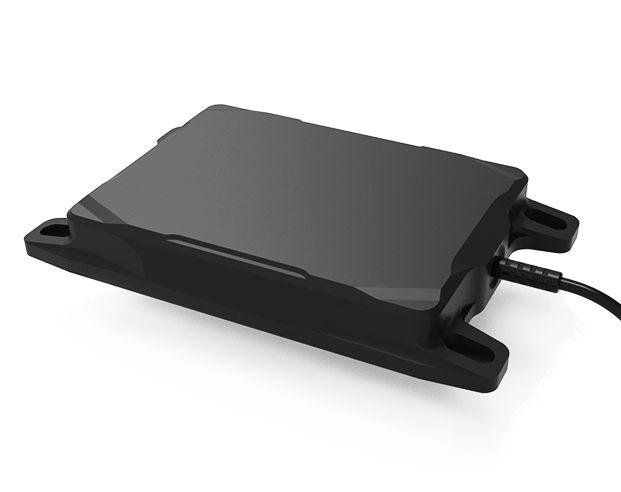
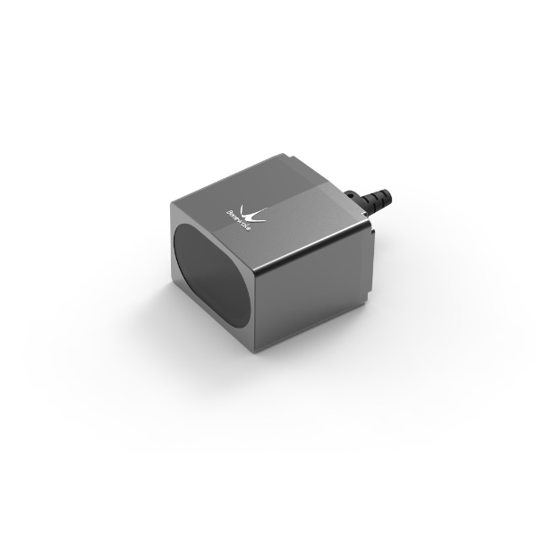
The Wuxi Beiwei Sensing Technology BW-IMU527C is an inertial measurement component for integration into unmanned aircraft, robots and other mobile equipment. Its sensing architecture combines a gyroscope with acceleration measurement on the X, Y and Z axes. The packaged unit occupies 60 × 59 × 29 mm, defining its physical integration envelope. Dynamic and orthogonality compensation accompany sampling frequencies up to 500 Hz, while the output options comprise RS232, RS485, TTL and Modbus.
The gyroscope measures angular rates within ±400°/sec at 0.01°/sec resolution, and the accelerometer covers ±3.6 g at 0.01 mg resolution. Temperature compensation accompanies a specified range of -40 °C to +85 °C. Bias stability depends on the stated temperature and measurement interval: gyroscope limits differ between room-temperature and full-temperature operation, while accelerometer figures apply at 25 °C. Alongside unmanned aircraft, intended applications include platform stabilization, unmanned vessels, underwater robots, construction machinery, automated guided vehicles, heavy trucks and autonomous driving.
Specifications
| Specification | Value & conditions |
|---|---|
| Manufacturer and model | Wuxi Beiwei Sensing Technology BW-IMU527C high-performance Modbus inertial measurement unit |
| Compensation | Dynamic compensation and orthogonality compensation |
| Sampling frequency | Up to 500 Hz |
| Output interfaces and protocol | RS232 / RS485 / TTL / Modbus |
| Temperature range | -40 °C to +85 °CTemperature compensation provided. |
| Dimensions | L60 × W59 × H29 mmPackaged product dimensions. |
| Gyroscope resolution | 0.01°/sec |
| Gyroscope measurement range | ±400°/sec |
| Gyroscope room-temperature bias stability | Less than 0.5 °/h (100 s, 1σ); less than 5 °/h (10 s, 1σ)Room temperature; 100 s, 1σ and 10 s, 1σ, respectively. |
| Gyroscope full-temperature bias stability | Less than 20 °/h (10 s, 1σ)Full temperature range; 10 s, 1σ. |
| Angular random walk coefficient | Less than 0.1 °/√h |
| Gyroscope bias repeatability | Less than 50 °/h (1σ)1σ. |
| Accelerometer measurement range | ±3.6 gX, Y and Z axes. |
| Accelerometer resolution | 0.01 mg |
| Accelerometer bias stability | 0.001 mg (25 °C, 100 s, 1σ); 0.01 mg (25 °C, 10 s, 1σ)25 °C; 100 s, 1σ and 10 s, 1σ, respectively. |
| Applications | Unmanned vessels and underwater robots; construction machinery; platform stabilization; automated guided vehicles; heavy trucks; autonomous driving; robotics; unmanned aircraft |
Request a quote for BW-IMU527C
Send your application, destination country and expected quantity to the ChinaDrone team. We can discuss product selection, configuration and sourcing from China.
Submit your procurement requirements ↗No account needed. A model number is optional. Your enquiry is handled by ChinaDrone.