Product overview
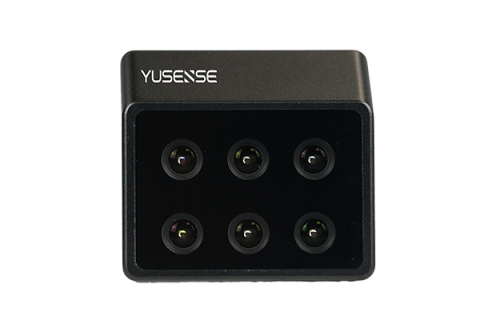
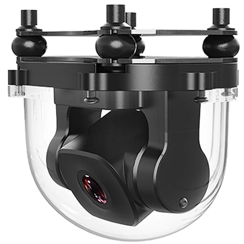
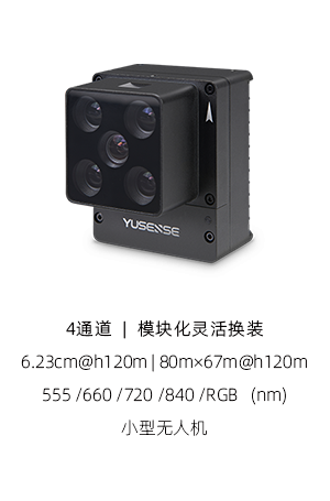
Mounted on the P60, the RealTerra system captures high-definition images during autonomous flights.
The captured images are automatically stitched into field maps and exported after the aircraft lands.
Tell us the specifications you need. We can discuss the exact model and configuration for your project.
Request a quote for XAG RealTerra 3
Send your application, destination country and expected quantity to the ChinaDrone team. We can discuss product selection, configuration and sourcing from China.
Submit your procurement requirements ↗No account needed. A model number is optional. Your enquiry is handled by ChinaDrone.