Product overview
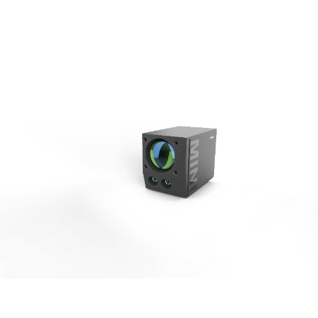
The Leishen Intelligent System LSLiDAR MD-01 is an underwater mapping LiDAR system intended for airborne and shipborne use. Its sensing architecture combines two channels, using green light and infrared at specified wavelengths of 532 nm and 1064 nm. The 532 nm green laser enables underwater target detection, with the hydrographic surveying capability expressly limited to partial survey functions. The product is a mapping sensor system for these deployment settings, rather than a flight platform or an airframe kit.
The MD-01 occupies a stated envelope of 380 × 23 × 250 mm in length, width and height, providing the physical dimensions for integration planning. Its sounding ability is 1.5 SD at a flight height of 50 m; that height is a specific qualification of the sounding figure. Sounding accuracy is 0.25 m, while range accuracy is separately specified as ± 10 cm. Display functions encompass waveforms, a 3D point cloud and seabed topography.
Specifications
| Specification | Value & conditions |
|---|---|
| Manufacturer | Leishen Intelligent System (LSLiDAR) |
| Model and product type | LSLiDAR MD-01 dual-channel underwater mapping LiDAR |
| Deployment | Airborne and shipborne underwater mapping |
| Channel architecture | Two LiDAR channels: green light and infrared (IR) |
| Underwater capability | Underwater target detection and partial hydrographic survey capabilitiesAt a green laser wavelength of 532 nm. |
| Sounding ability | 1.5 SD50m Flight Height |
| Wavelength | 532 nm / 1064 nm |
| Sounding accuracy | 0.25 m |
| Dimensions (L × W × H) | 380 × 23 × 250 mm |
| Display | Waveform display, 3D point cloud, seabed topography |
| Range accuracy | ± 10 cm |
Request a quote for LSLiDAR MD-01
Send your application, destination country and expected quantity to the ChinaDrone team. We can discuss product selection, configuration and sourcing from China.
Submit your procurement requirements ↗No account needed. A model number is optional. Your enquiry is handled by ChinaDrone.