Product overview
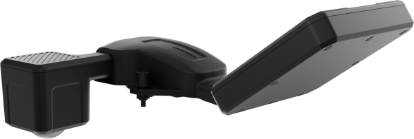
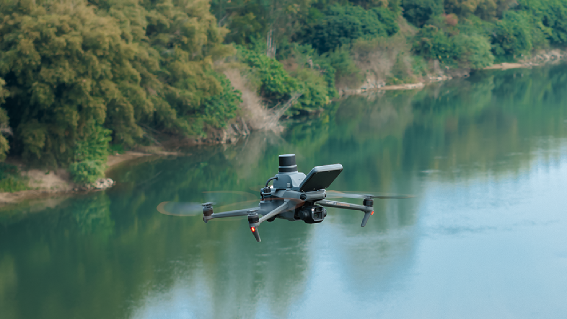
The Caipu Technology (Zhejiang) FS-600 is a six-channel multispectral camera for airborne imaging on the DJI M400. Its standard configuration includes two vegetation-sensitive red-edge bands, with six spectral channels spanning 450nm to 840nm. The imaging hardware combines a 1/2-inch sensor format, 1.3Mpx effective pixels, a global shutter, 12bit quantization and a sapphire optical glass window. All channels support synchronized imaging at intervals as short as 100ms. At 120m height, ground resolution is 9.6cm and coverage measures 123m × 98m. Custom wavelength selection extends across 400nm–1000nm.
The camera uses X-Port for mounting and power, with DJI Pilot providing parameter settings. Its dimensions are 182mm × 169mm × 129mm including the gimbal; weight is ≤940g including the gimbal, with a separate 590g figure excluding cables. A standard 512G solid-state drive stores 16bit raw TIFF images including GPS. Timed capture supports up to 10Hz, and power consumption is ≤43W. Operation at -10°C to +50°C requires relative airflow ≥1m/s; humidity must remain non-condensing at RH ≤85%. Processing software comprises FigSpec UAV-MS, FigSpec MS-PreMerge and FigSpec Studio.
Specifications
| Specification | Value & conditions |
|---|---|
| Model | FS-600 |
| Imaging configuration | Six-channel multispectral cameraStandard configuration includes two vegetation-sensitive red-edge bands. |
| Sensor format | 1/2 inch |
| Effective pixels | 1.3Mpx |
| Shutter type | Global |
| Quantization | 12bit |
| Field of view | 54.2° × 44.5° |
| Ground resolution | 9.6cmAt 120m height. |
| Coverage dimensions | 123m × 98mAt 120m height. |
| Spectral channels | 450nm@30nm, 555nm@27nm, 660nm@22nm, 720nm@10nm, 750nm@10nm, 840nm@30nmStandard wavelength configuration. |
| Optical window | Sapphire optical glass window |
| Dimensions | 182mm × 169mm × 129mmIncluding gimbal. |
| Weight | ≤940g including gimbal; 590g excluding cables≤940g includes the gimbal; 590g excludes cables. |
| Mounting interface | X-Port |
| Power supply | X-Port |
| Power consumption | ≤43W |
| Image format | 16bit raw TIFF, including GPS |
| Storage medium | 512G solid-state driveStandard equipment. |
| Processing software | FigSpec UAV-MS, FigSpec MS-PreMerge, FigSpec Studio |
| Parameter settings | DJI Pilot |
| Capture trigger | Timed triggering |
| Capture frequency | Maximum 10Hz |
| Operating temperature | -10°C to +50°CRelative airflow ≥1m/s. |
| Storage temperature | -30°C to +70°C |
| Environmental humidity | RH ≤85%Non-condensing. |
| Fastest imaging interval | 100msAll channels synchronized. |
| Platform integration | Plug-and-play integrationCustomized for the DJI M400 UAV. |
| Customizable spectral range | 400nm–1000nmCustom wavelength selection. |
| Available wavelength options | 18 options: 410nm@35nm, 450nm@30nm, 490nm@25nm, 530nm@27nm, 555nm@27nm, 570nm@32nm, 610nm@30nm, 650nm@27nm, 660nm@22nm, 680nm@25nm, 720nm@10nm, 720nm@15nm (high-pass), 750nm@10nm, 780nm@13nm, 800nm@35nm, 840nm@30nm, 900nm@35nm, 940nm@30nmCustom wavelength combinations; tolerance ±5nm. |
Request a quote for FS-600
Send your application, destination country and expected quantity to the ChinaDrone team. We can discuss product selection, configuration and sourcing from China.
Submit your procurement requirements ↗No account needed. A model number is optional. Your enquiry is handled by ChinaDrone.