Product overview
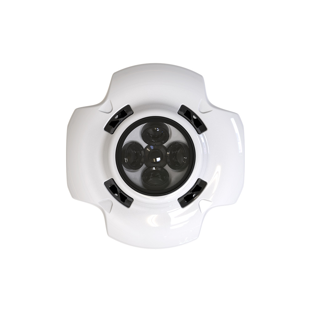
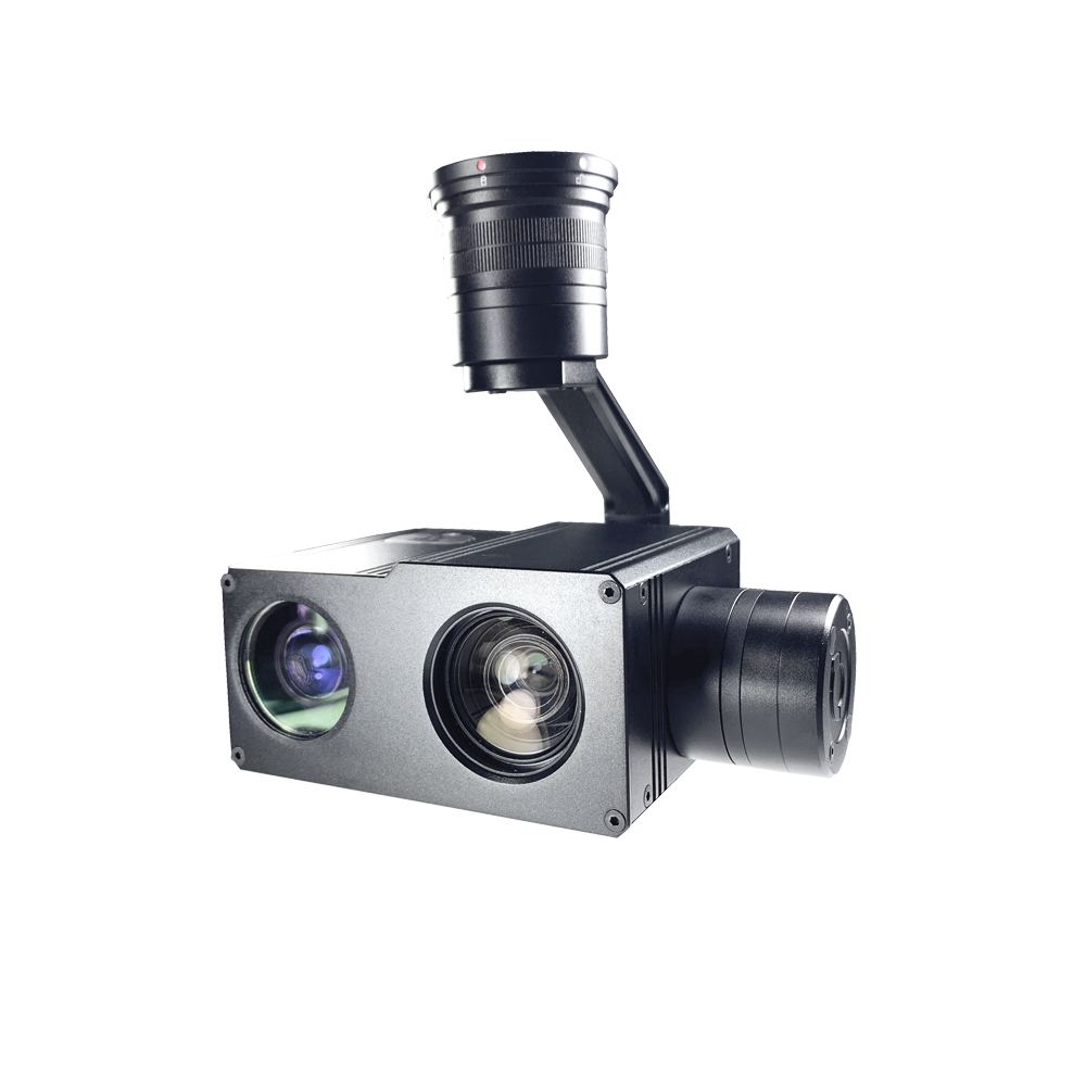
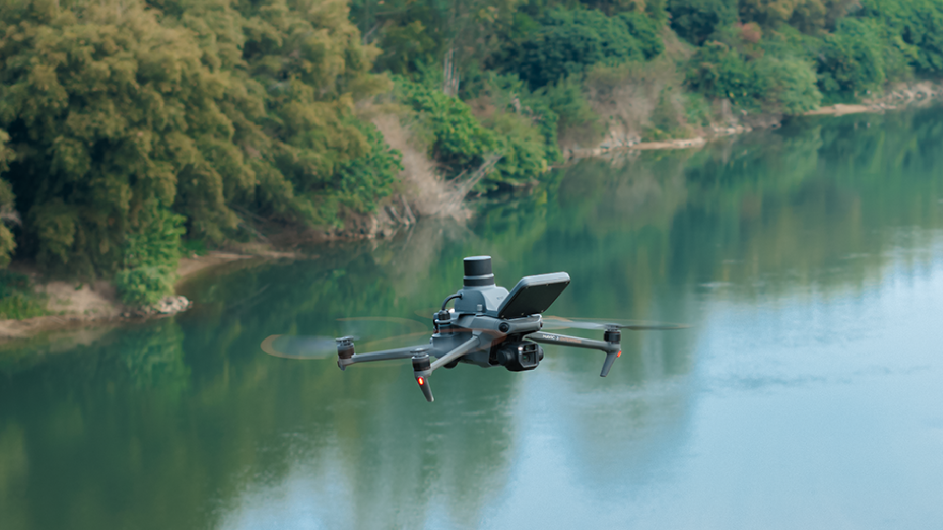
The CZI MF-3T combines a radar velocity instrument, a radar depth instrument and airborne RTK in one compact, 220 g payload for small UAVs. Its functions cover surface water velocity, reference water level and high-precision positioning, allowing several water-flow parameters to be measured in one operation. The hardware is a measurement payload rather than a complete flight platform. Its compact architecture supports transport to measurement locations, including rugged mountain terrain and muddy ground, and rapid deployment for hydrological monitoring.
The companion czi Pilot software supports routine water-management inspections and flood-response measurement through three workflows. Manual flight enables single-point velocity readings; map-based planning supports automatic measurement along custom routes; and automatic missions generate routes from imported river cross-section data. Users can select channel roughness, a riverbank coefficient and the measurement formula. Velocity coverage is 0.1–20 m/s and distance coverage is 0.18–30 m. Accuracy is specified separately below and above 1 m/s, with no accuracy condition stated for exactly 1 m/s.
Specifications
| Specification | Value & conditions |
|---|---|
| Product identity | CZI MF-3T |
| Product type | UAV-mounted water-flow measurement payload |
| Intended carrier | Small UAV |
| Measurement functions | Surface water velocity measurement, reference water-level measurement and high-precision RTK positioning |
| Integrated equipment | Integrated radar depth instrument, radar velocity instrument and airborne RTK |
| Complete unit weight | 220 g |
| Velocity measurement range | 0.1–20 m/s |
| Distance measurement range | 0.18–30 m |
| Velocity measurement accuracy below 1 m/s | ±0.01 m/sFlow velocity less than 1 m/s. |
| Velocity measurement accuracy above 1 m/s | ≤±1% F.S.Flow velocity greater than 1 m/s. |
| Companion software | Czi Pilot dedicated flow-measurement software with three measurement modes |
| Software calculation settings | Selection of channel roughness, riverbank coefficient and flow-measurement formula |
| Manual flight measurement | Single-point water-velocity measurementManually operated aircraft flight. |
| Map-point measurement | Automatic flight measurement along a custom mapped routeCustom flight route established on the map. |
| Automatic mission | Automatic route generation and automatic flight measurementPreviously prepared river cross-section data imported. |
Request a quote for MF-3T
Send your application, destination country and expected quantity to the ChinaDrone team. We can discuss product selection, configuration and sourcing from China.
Submit your procurement requirements ↗No account needed. A model number is optional. Your enquiry is handled by ChinaDrone.