Product overview
The China Moneypro MOPA3 General-Purpose Aerial Survey Flight Controller System supports orthophoto imaging, Digital Line Graph workflows and oblique photogrammetry. Automatic multi-layer route generation uses terrain elevation and mission requirements to plan survey flights with consistent ground sampling distance. Its 3D terrain-following mode follows terrain contours while maintaining consistent altitude above ground level. These functions support aerial mapping and surveying workflows that require coordinated flight routes and controlled height over changing terrain.
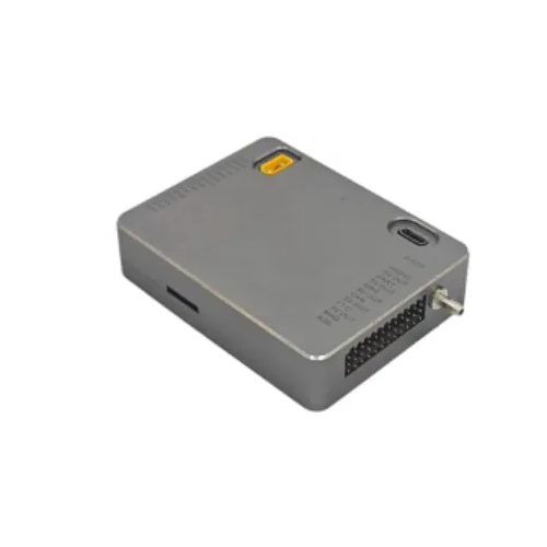
The controller measures 82 × 62 × 19 mm and weighs 92 g, with one IMU sensor and one GPS. It operates from an 8~60V supply, consumes less than 3W and supports operating temperatures of -20~+55 °C. Connections comprise 14 PWM channels, one SBUS input, one CAN interface and three TTL serial ports. Built-in IMU shock absorption, RTK and dual-antenna heading are absent; gimbal and gasoline-engine support are unavailable. Airspeed measurement uses single dynamic pressure over a 0~40 m/s range.