Company overview
Ruitu Wanfang develops sensing hardware, map information platforms and vehicle navigation software. Founded in August 2002, the company is headquartered in Foshan, Guangdong, with intelligent hardware and application software research centers in Shenzhen and Guangzhou. Its work spans spatial resource monitoring, surveying, environmental monitoring, power infrastructure inspection and urban management.
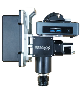
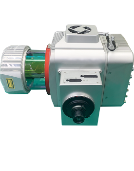
Its hardware range includes LD-A450, LD-H120 and LD-H200 lidar systems; the high-precision LD-R300, LD-R900 and LD-R1350 lidar series; LH-V100 and LM-R900/R1350 ground-based mobile measurement equipment; and HS-RPL airborne hyperspectral camera equipment. PA100D, PA200D, PA300D and POSPro provide high-precision attitude and positioning functions, supported by software for data collection, calculation, preprocessing and postprocessing.
Ruitu Wanfang integrates lidar with industrial drones and vehicle-mounted or mobile multisensor equipment for highway, river, cadastral and earthwork surveys. Its airborne hyperspectral solutions collect spectral information and use water-quality inversion models to analyze water-quality indicators and support pollution tracing. The company also provides customized visible-light, lidar and spectral data collection and fusion processing services for agriculture, forestry, surveying, environmental monitoring and electric power applications.
Tell us the specifications you need. We can discuss the exact model and configuration for your project.
Discuss sourcing from Ruitu Wanfang
Send your application, destination country and expected quantity to the ChinaDrone team. We can discuss product selection, configuration and sourcing from China.
Submit your procurement requirements ↗No account needed. A model number is optional. Your enquiry is handled by ChinaDrone.