Survey & Mapping Drones
Compare survey drones for photogrammetry, mapping and geospatial data collection. Ground sampling distance, positioning accuracy, camera integration and usable survey coverage matter when specifying mapping deliverables.
Survey drones collect georeferenced imagery or other mapping data for terrain models, orthomosaics and asset measurements. The collection includes multirotor, conventional fixed-wing and VTOL mapping platforms for different site sizes and launch conditions.
66 models34 manufacturers
VTOL fixed-wing mapping drones
View all 32 →32 models from 18 manufacturers
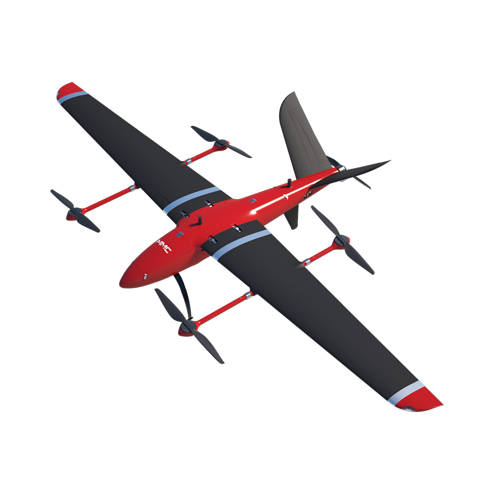
VTOL fixed-wing mapping drones
MMC Griflion M10 VTOL Drone
- Maximum payload
- 10 kg.
- Maximum wind resistance
- Force 7.
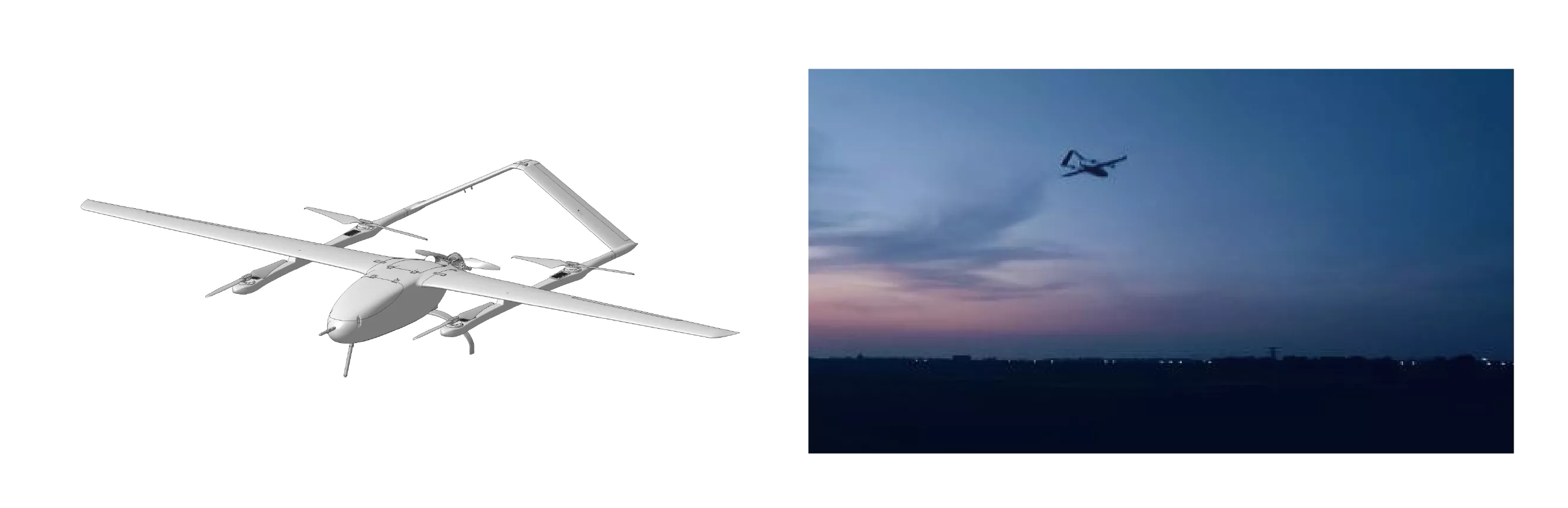
VTOL fixed-wing mapping drones
TopXGun STAR-40F VTOL Drone
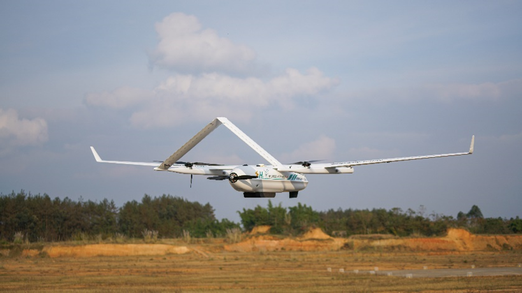
VTOL fixed-wing mapping drones
DJ25 VTOL Drone
- Flight time
- 330 min
- Maximum payload
- 4 kg
- Wind resistance
- 10.8 ~13.8 m/s
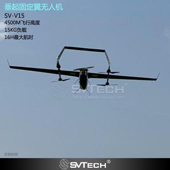
VTOL fixed-wing mapping drones
SV TECH SV-V15 Industrial Drone
- Rated payload
- ≥10 kg
- Wind resistance
- Force 6
- Wingspan
- 5000 mm
Fixed-wing mapping drones
View all 3 →3 models from 2 manufacturers
Fixed-wing mapping drones
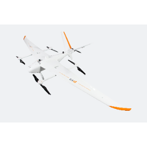
CHCNAV P60 Fixed-Wing Drone
- Wingspan
- 4.2 m
Fixed-wing mapping drones
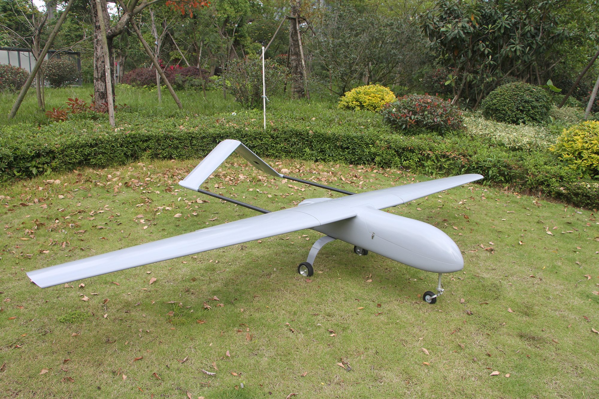
Mugin GF450 Flight Platform
- Endurance
- Up to 7 hours (reference)
- Maximum payload
- 8 kg
- Wind resistance
- VTOL: N/A / Fixed-wing: Level 6
Fixed-wing mapping drones
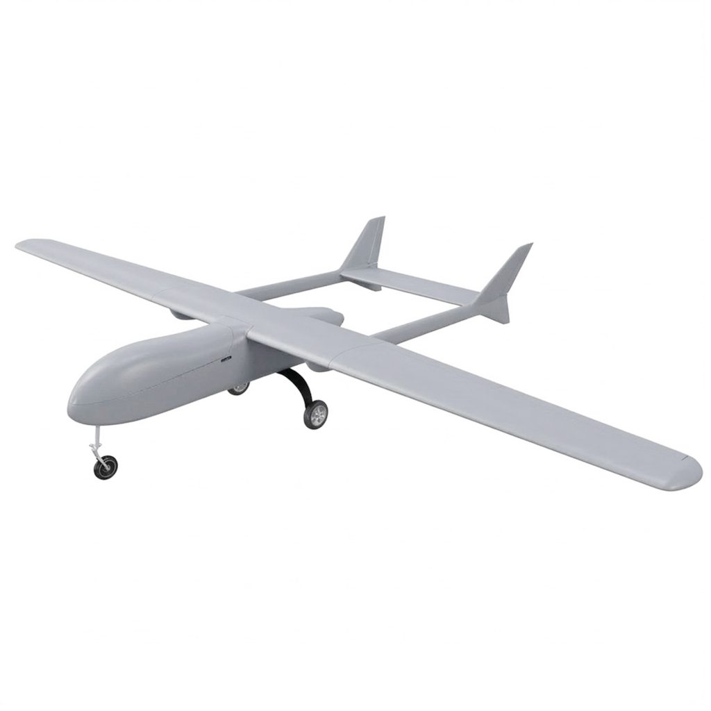
Mugin GF600 Flight Platform
- Endurance
- Up to 7.5 hours (reference)
- Maximum payload
- 30 kg
- Wind resistance
- VTOL: N/A / Fixed-wing: Level 6
Looking for another survey drone model?
Tell us the model or specification.
Send your requirement ↑Multirotor survey drones
View all 31 →31 models from 21 manufacturers
Multirotor survey drones
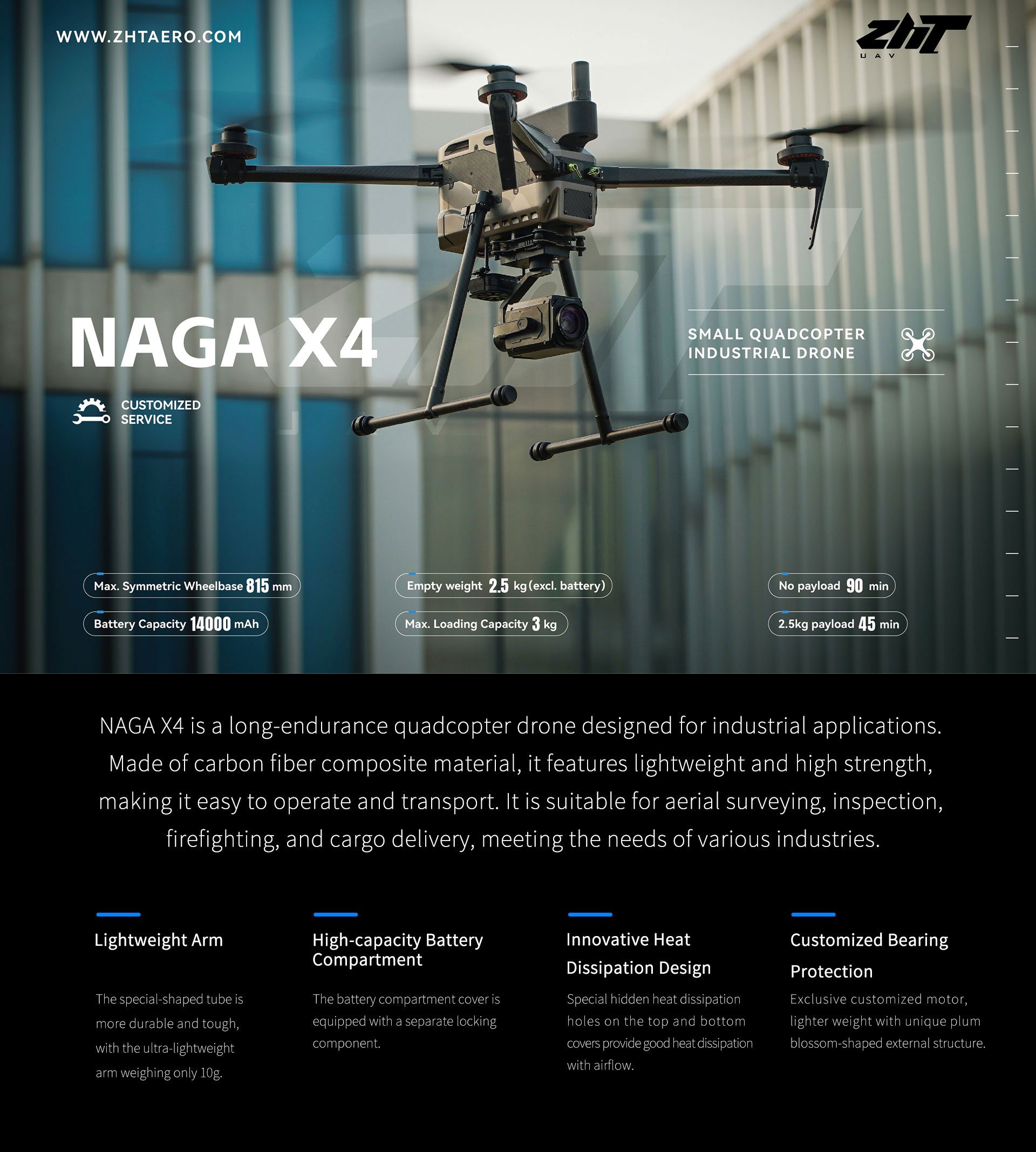
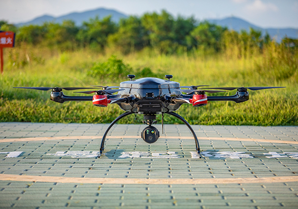
ZHTAERO Naga X4 Industrial Drone
- Flight time
- 90 minutes
- Load capacity
- 3 kg
Multirotor survey drones
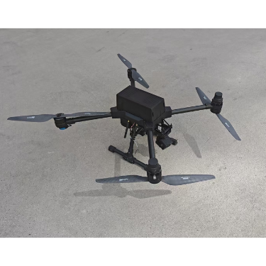
DT30X
- Flight time
- 150 min
- Maximum payload
- 5 kg
- Wind resistance
- 10.8–13.8 m/s
Multirotor survey drones
Guofei Lingyi D4E1
Multirotor survey drones
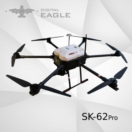
Digital Eagle SK62PRO UAV metal detector function
- Flight duration
- 30 minutes
- Wheelbase
- 1700 mm
What to check before you buy
- Ground detail
- Match camera geometry, flying height and image overlap to the ground sampling distance and deliverable required.
- Positioning workflow
- Check RTK or PPK support, correction inputs, event timing and access to raw navigation data.
- Survey payload
- Check camera or LiDAR compatibility, trigger control and payload calibration or alignment requirements.
- Coverage at mission settings
- Compare area coverage with the actual payload, overlap, flight speed and reserve included.
- Data deliverables
- Check image and navigation export formats and compatibility with the processing tools used for the project.
- Accuracy evidence
- Read accuracy results alongside control-point layout, checkpoints, terrain and processing method.
Survey drones manufacturers
FeimaYifei ZhinengMMCUINGZHTAEROHAWKUNLianghongSagetownCHCNAVDoushan Chuangxin (Shenzhen)Eagle CastFeiyuFlamingoAssaultintelligentHi-TargetHoneycombMuginTopXGunComNavDigital EagleEFYEasy FlyFCourierGuoandaHainan Feixingzhe TechnologyJOUAVReebotScannerGuofei LingyiSrzuavUnited AircraftZhiyuXianglongSV TECH