ChinaDrone.Request a quote ↗
COMPONENT

Yahree Q302S

By Yahree Aeropower Tech Co., Ltd. ↗

The Yahree Q302S is an AI dual-sensor gimbal camera combining visible-light and thermal imaging for target detection, tracking and geolocation. Its aircraft-aluminum pod weighs 1020 ± 10 g and provides speed or angle control, multiple control interfaces, 1080p video output and an IP43-rated housing.

Get a free sourcing quote for Yahree Q302S

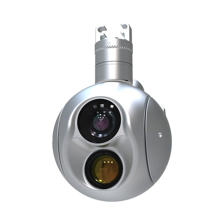
Yahree Q302S dual-sensor gimbal camera with a silver housing and two front lenses
Product typeYahree Q302S AI dual-sensor gimbal camera
Imaging architectureIntegrated visible-light and thermal imaging modules
MaterialAircraft aluminum
Dimensions132.8 (width) × 120 (length) × 191.8 (height) mm
Weight1020 ± 10 g
Control modesSpeed control; angle control

Product overview

The Yahree Q302S combines visible-light and thermal imaging modules in an aircraft-aluminum gimbal pod. Its camera functions cover target detection, identification, locking, tracking and positioning. Geolocation determines longitude and latitude for a target at the center of the screen, while an anti-occlusion function supports target reacquisition within 3 seconds. The visible-light module has a 4.3–129 mm focal length range and 1920 × 1080 resolution. The thermal module pairs 640 × 512 resolution with a 25 mm focal-length lens.

For physical integration, the pod measures 132.8 mm wide, 120 mm long and 191.8 mm high, with a weight of 1020 ± 10 g. Control options comprise speed and angle control through S.BUS, TTL UART, TCP or UDP signals. Gimbal travel is specified as 360° × N in yaw, −120° to 30° in pitch and ±40° in roll. Video output is 1920 × 1080 at 30 fps, with MP4 video and JPG image storage formats. The all-metal housing has an IP43 ingress-protection rating and resistance to rain, dust and corrosion.

Specifications

SpecificationValue & conditions
Product typeYahree Q302S AI dual-sensor gimbal camera
Imaging architectureIntegrated visible-light and thermal imaging modules
MaterialAircraft aluminum
Dimensions132.8 (width) × 120 (length) × 191.8 (height) mm
Weight1020 ± 10 g
Control modesSpeed control; angle control
Control signalsS.BUS, TTL UART, TCP, UDP
Video output1920 × 1080 @ 30 fps
Visible-light focal length range4.3–129 mm
Video storage formatMP4
Visible-light resolution1920 × 1080
Image storage formatJPG
Thermal imaging resolution640 × 512
Ingress protectionIP43
Gimbal angle control range
  • Yaw: 360° × N;
  • pitch: −120° to 30°;
  • roll: ±40°
Thermal lens focal length25 mmThermal imaging module.
GeolocationDetermines target longitude and latitudeTarget at the center of the screen.
Target functionsTarget detection, locking and tracking
Additional target functionsTarget identification and positioning
Target reacquisitionWithin 3 secondsUsing the anti-occlusion function.
HousingAll-metal housing with resistance to rain, dust and corrosion
Environmental and electromagnetic characteristicsElectromagnetic compatibility and environmental adaptability

Ask for the Yahree Q302S price ↑

More payloads & thermal cameras from Chinese manufacturers →
HYUCX CH06 handheld drone detector with two antennas and a color display
Component

HYUCX CH06

HYUCX

The HYUCX CH06 is a handheld drone detection and early warning device covering 0–8GHz, with customizable frequencies, band filtering and OTA upgrades. It combines a 1.5-inch screen with a removable 5000mAh battery providing up to 15 hours of runtime. Weight is 0.3kg including the antenna.

Tatusky DV01 vehicle-mounted drone detection system in a black suitcase-style enclosure
Component

Tatusky DV01

By Tatusky Technology Co., Ltd

The Tatusky DV01 is a suitcase-style, vehicle-mounted drone detection system combining spectrum detection, RID and protocol decoding. It supports mobile airspace monitoring, compatible drone and pilot positioning, and smartphone or tablet access. Protocol decoding range is ≥5 km, while RID and spectrum ranges are each ≥2 km, subject to electromagnetic environment and drone model.

CHCNAV AlphaAir 15 airborne LiDAR system
Component

CHCNAV AlphaAir 15

CHCNAV

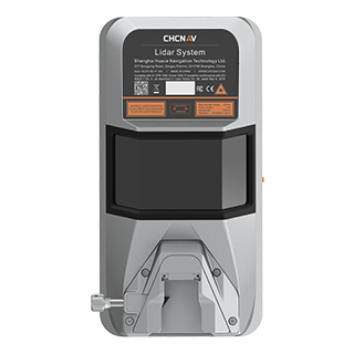
The CHCNAV AlphaAir 15 is a compact airborne LiDAR mapping system for integration with UAVs, small aircraft and helicopters. It combines scanning at 2 million pulses per second with imaging and GNSS/IMU positioning, supporting corridor surveys, urban mapping and vegetation analysis within a 2,5 kg package.

CZI TH4 V2 payload release accessory with a cylindrical body and mounting connector
Component

CZI TH4 V2

CZI

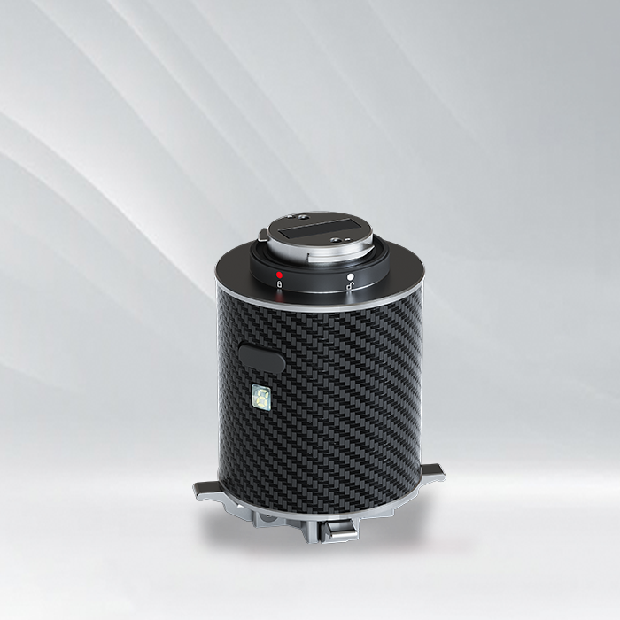
The CZI TH4 V2 is a compact four-stage UAV payload release accessory for delivering supplies across four releases per takeoff. It attaches through DJI SkyPort V2.0 and uses DJI Pilot control. Payload capacity depends on the host aircraft and gimbal mounting arrangement, with explicit limits for M300 RTK and M350 RTK installations.

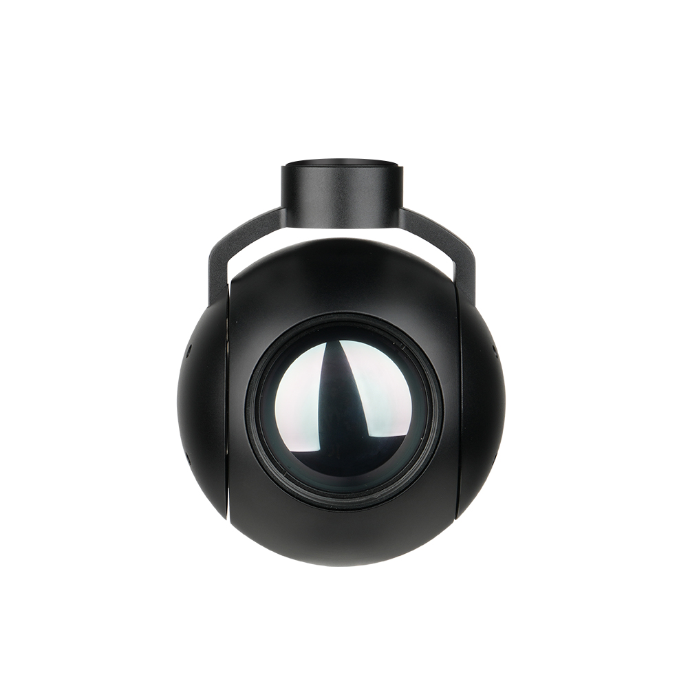
SIYI UniPod MT11 gimbal camera pod with mounting assembly, front view.
Component

SIYI UniPod MT11

SIYI

The SIYI UniPod MT11 is a miniature four-sensor optical AI imaging pod with 11x optical zoom, 165x hybrid zoom and 8K 48MP photography. Its infrared camera is specified at 640 × 512, with photographs up to 2560 × 2048 through AI super-resolution.

KEEP EXPLORING

Similar products

Browse all products ↗
TL2P UAV Payload Drop System with gray mounting frame
Mission payloads

TINTEC TL2P UAV Payload Drop System

TINTEC

The TINTEC TL2P UAV Payload Drop System is a compact, 153g drone accessory for small-load aerial delivery. Two hooks carry up to 500g each, with a 1kg total limit. A light sensor responds to drone lighting signals, enabling single-hook or full release through a quick-mount, plug-and-play installation.

Mission payloads

Bytech AQUILA CL10

By Bytech Technology Co., Ltd.

The Bytech Technology Co., Ltd. AQUILA CL10 is a drone-mounted night vision and laser guidance payload for supported DJI Matrice aircraft. It combines a full-color CMOS camera, 20× optical zoom, AI image enhancement and a pan-tilt assembly with visible and invisible lasers for nighttime observation, search and rescue, and target positioning.