ChinaDrone.Request a quote ↗
COMPONENT

TLH-INS-398D-2XJ

By Tianluhai Navigation ↗

The TLH-INS-398D-2XJ is a fiber-optic strapdown inertial navigation system.

Request a quote ↗

Product overview

Tianluhai lists the TLH-INS-398D-2XJ in its TLH-INS-J airborne navigation range. This range supports flight-control platforms including transport aircraft and UAVs.

The TLH-INS-J range incorporates internally developed three-axis fiber-optic gyroscopes and three-axis accelerometers using quartz or MEMS technology. Integrated navigation can be configured using externally supplied positioning information or additional sensors such as an external GNSS receiver.

Tell us the specifications you need. We can discuss the exact model and configuration for your project.

SOURCE WITH CHINADRONE

Request a quote for TLH-INS-398D-2XJ

Send your application, destination country and expected quantity to the ChinaDrone team. We can discuss product selection, configuration and sourcing from China.

Submit your procurement requirements ↗

No account needed. A model number is optional. Your enquiry is handled by ChinaDrone.
KEEP EXPLORING

Similar products

Browse all products ↗
Flight control & navigation

BW-MINS325E

By Wuxi Beiwei Sensing Technology

The Wuxi Beiwei Sensing Technology BW-MINS325E is a CAN-bus micro inertial navigation component for unmanned aircraft, robotic vehicles and stabilization systems. Packaged and bare-board formats support integration into larger equipment. It combines attitude measurement, heading retention and output up to 500Hz with 9-36V DC power and temperature-compensated operation.

Flight control & navigation

DroneCAN RM3100 Professional Grade Compass (IP66)

By Holybro

The Holybro DroneCAN RM3100 Professional Grade Compass (IP66) is a housed three-axis magnetometer for vehicle heading and orientation sensing. It combines DroneCAN connectivity, software-controlled CAN termination and selectable cable lengths. Integration requires attention to magnetic interference, while cycle-count settings determine sensitivity, noise and maximum sampling rate.

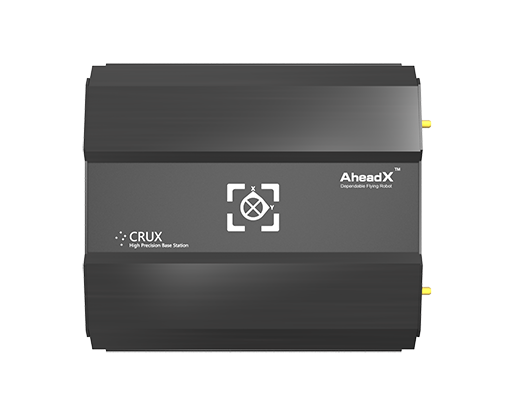
AheadX CRUX base station in a black enclosure
Flight control & navigation

AheadX CRUX

By AheadX

AheadX CRUX is a ground-based UAV guidance system combining high-precision positioning, orientation and inertial attitude data. Used with an AheadX Guidance Navigation Control System-equipped UAV and DG3 Mobile Station, it supports following flight and recovery applications, including landing on moving, floating or swaying platforms.