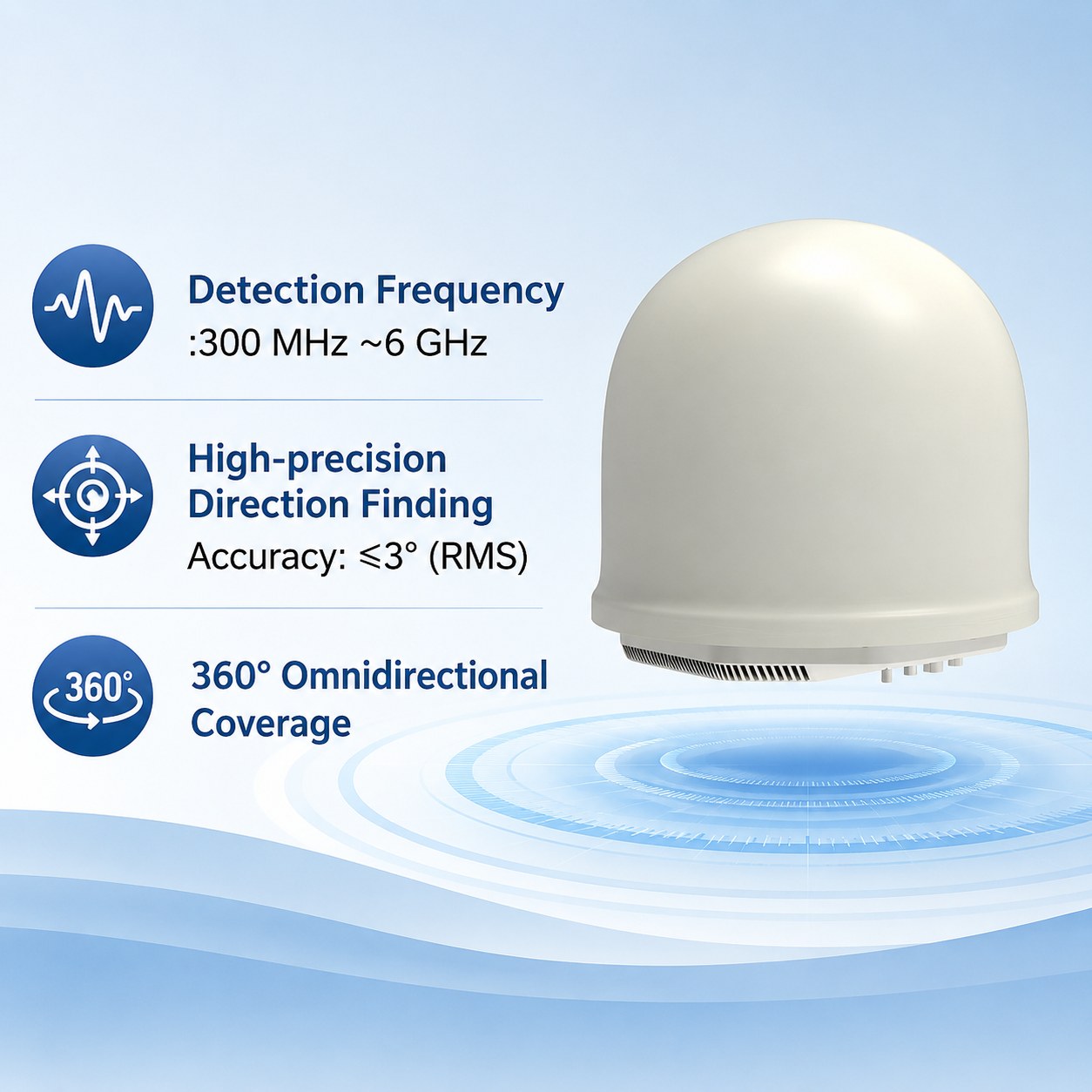
Product overview
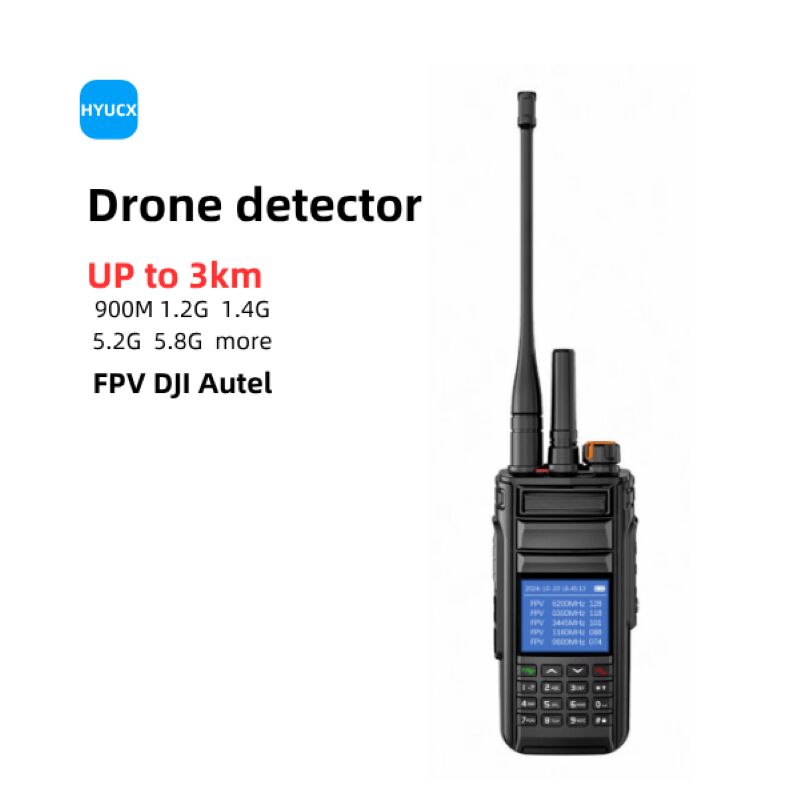
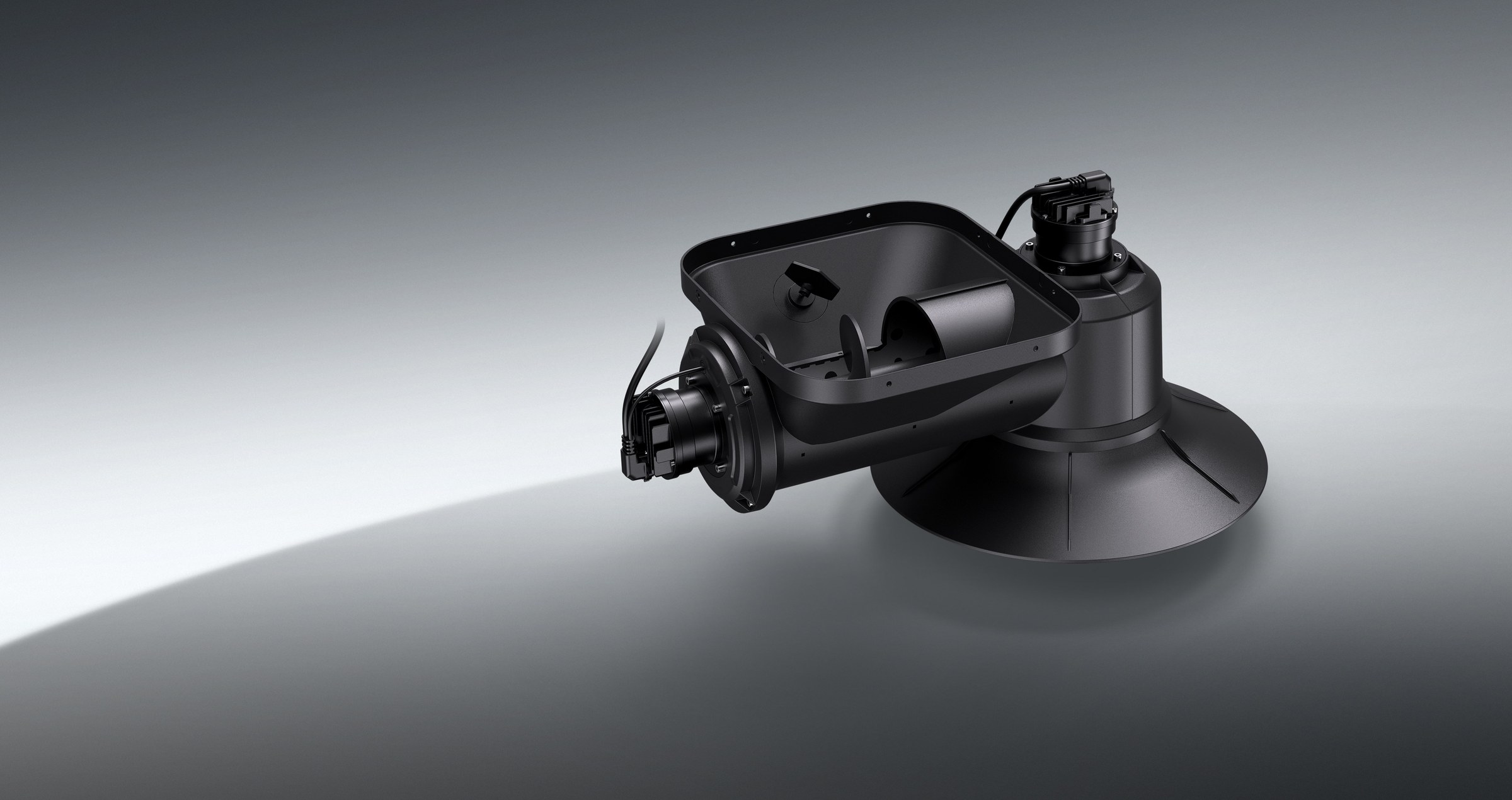
The Tatusky Technology Co., Ltd TTSK-D09 detects and monitors drones through passive reception and analysis of RF signals. Its architecture combines UAV spectrum identification, protocol decoding and full-band direction finding with a built-in positioning module providing automatic north alignment and GPS positioning. Detection and direction finding each cover 300 MHz to 6 GHz, with 360° omnidirectional detection coverage. The equipment weighs ≤25 kg and consumes ≤100 W. Fixed installation is its primary deployment mode, with vehicle and tripod mounting also supported.
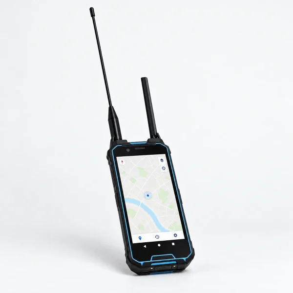
For urban and open-field deployment, multiple units can connect through a backend platform to cover a wider area. The management platform provides real-time spectrum display and supports on-site signal capture and updates to an expandable UAV signal database. Electromagnetic environment learning enables automatic storage of new UAV signal characteristics. Unattended functions detect, track, record and determine the direction of unknown UAV targets, recording detection time, UAV ID, model and azimuth. Whitelist and blacklist settings allow authorized UAVs to be ignored without alerts.
Detection range is ≥5 km for spectrum detection, ≥2 km for DJI protocol decoding and ≥1 km for Remote ID; each depends on the environment and UAV model. Direction finding accuracy is ≤3° RMS in an open, low-interference environment, with a detection response time of ≤2 s. DJI O2, O3 and RID decoding includes serial number, UAV and pilot location, speed and direction. Protection ratings are inconsistent: IP66 ingress protection and IP65 casing protection for outdoor fixed installation. Continuous operation is specified as 24/7 under standard working conditions.
Specifications
| Specification | Value & conditions |
|---|---|
| Model | TTSK-D09 |
| Product purpose | UAV detection and monitoring through RF signal analysis. |
| Signal analysis functions | UAV spectrum identification, protocol decoding and full-band direction finding. |
| Detection frequency range | 300 MHz ~6 GHz |
| Direction finding frequency range | 300 MHz ~6 GHz |
| Spectrum detection range | ≥5 kmSpectrum detection; depends on environment and UAV model. |
| DJI protocol decoding range | ≥2 kmDJI protocol decoding; depends on environment and UAV model. |
| Remote ID range | ≥1 kmRemote ID; depends on environment and UAV model. |
| Detection coverage | 360° omnidirectional |
| Direction finding accuracy | ≤3°RMS, in an open and low-interference environment. |
| Detection response time | ≤2 s |
| Ingress protection | IP66 |
| Casing protection | IP65 waterproof and dustproof.Long-term outdoor fixed installation. |
| Power consumption | ≤100 W |
| Weight | ≤25 kg |
| Deployment options | Fixed installation as the primary deployment mode; vehicle-mounted and tripod-mounted deployment also supported. |
| Operating environments | Urban and open-field environments. |
| Passive reception | Passive detection using non-emitting RF reception. |
| UAV and controller signal detection | Real-time UAV and remote control signal detection with directional identification. |
| Built-in positioning equipment | Built-in positioning module with automatic north alignment and GPS positioning. |
| Signal database expansion | Expandable UAV signal database supporting on-site signal capture and library updates through the management platform. |
| Unknown target handling | Automatic detection, tracking, recording and direction finding of unknown UAV targets. |
| Authorized UAV management | Whitelist and blacklist settings support ignoring authorized UAVs without an alert. |
| Automatic evidence collection | Automatic collection of detected UAV signal evidence, including spectrum data and target images. |
| Unattended recording | Unattended operation with automatic recording of detection time, UAV ID, UAV model and azimuth angle. |
| Spectrum display | Full-band scanning from 300 MHz to 6 GHz with real-time spectrum display on the platform. |
| Supported protocols and decoded information | DJI O2, O3 and RID decoding, including UAV serial number (SN), UAV and pilot location, speed and direction.DJI O2, O3 and RID protocol decoding. |
| Multi-unit networking | Multiple devices can be networked through a backend platform for wide-area deployment. |
| Continuous operation | 24/7 continuous operation.Standard working condition. |
| Signal learning | Full-band scanning and electromagnetic environment learning support detection of unknown or suspicious targets and automatic learning and storage of new UAV signal characteristics. |