ChinaDroneRequest a quote →

Shuangli Hepu Gaiasky-mini2-NIR

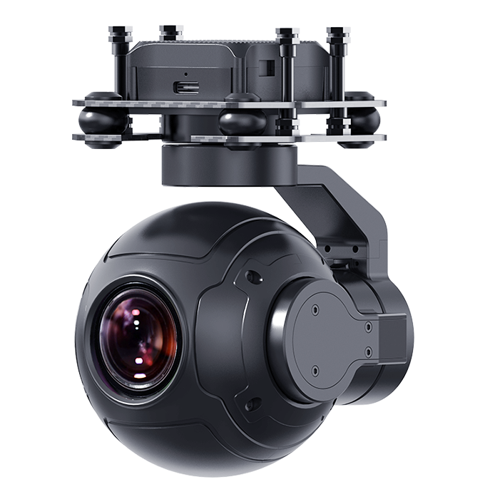
The Shuangli Hepu Gaiasky-mini2-NIR is a near-infrared hyperspectral UAV system for vegetation monitoring, hotspot detection, mineral exploration and water pollution monitoring. Built around an InGaAs detector, it captures imagery while hovering with internal scanning and incorporates a controller, 17.5mm lens and 240G SSD acquisition storage.

Shuangli HepuPayloads & thermal cameras
Weight
1.8 kg
Operating voltage
12 V

Get a free quote

Product overview

The Shuangli Hepu Gaiasky-mini2-NIR near-infrared hyperspectral UAV system combines a high-sensitivity InGaAs detector with built-in scanning for image capture while hovering. Designed for the M600 Pro platform, it incorporates a 17.5mm lens, a built-in controller and 240G SSD acquisition storage. The camera and controller weigh 1.8kg together. Operating at 12V with 60W power, the system provides 12-bit camera output through a Gige connection. Its 38° horizontal field of view covers a width of 207 m at a flight altitude of 300 m.

Applications include vegetation pest and disease monitoring, flame and hotspot monitoring, camouflaged target recognition, geological and mineral exploration, and water pollution monitoring involving oil leaks. The system covers a spectral range of 900-1700 nm and provides spectral, radiometric, uniformity, lens and reflectance calibration. Software and hardware triggering support system control and further development. Proprietary stitching software combines imagery using longitude, latitude, altitude and horizontal and vertical overlap information, supporting image acquisition across large target areas.
Cameras & sensorsMission payloads

Specifications

Shuangli Hepu Gaiasky-mini2-NIR specifications
SpecificationValue & conditions
ModelGaiasky-mini2-NIR
Spectral range900-1700 nm
Spectral resolution8 nm30 μm
Numerical apertureF/1.7
Full-frame pixels640 (spatial) x 224 (spectral)
Pixel pitch15 μm
Camera output12 bit
ConnectionGige
Operating voltage12V
Power60W
Capture methodHovering with built-in scanning
Carrier platformM600 Pro
Lens17.5mm
Horizontal field of view (FOVac)38°
Horizontal field width207 mFlight altitude: 300 m
Image resolution640X480
Binning mode224 channels
Line image rate527 (max), 100 (default) line images/sMaximum: 527; default: 100
Single-image capture time5 seconds
Weight1.8kgCamera and built-in controller
Acquisition storage240G SSD
Gimbal and camera installation space≥330 (suspension height) * 200 * 260 mmFirst dimension is suspension height
DetectorHigh-sensitivity InGaAs detector
ApplicationsVegetation pest and disease monitoring; flame and hotspot monitoring; camouflaged target recognition; geological and mineral exploration; water pollution monitoring, including oil leaks
Trigger functionsSoftware and hardware triggering for system control and further development
Calibration functionsSpectral, radiometric, uniformity, lens and reflectance calibration
Image stitchingImage stitching using proprietary softwareImage longitude, latitude, altitude, and horizontal and vertical overlap information available

Related guides