Product overview
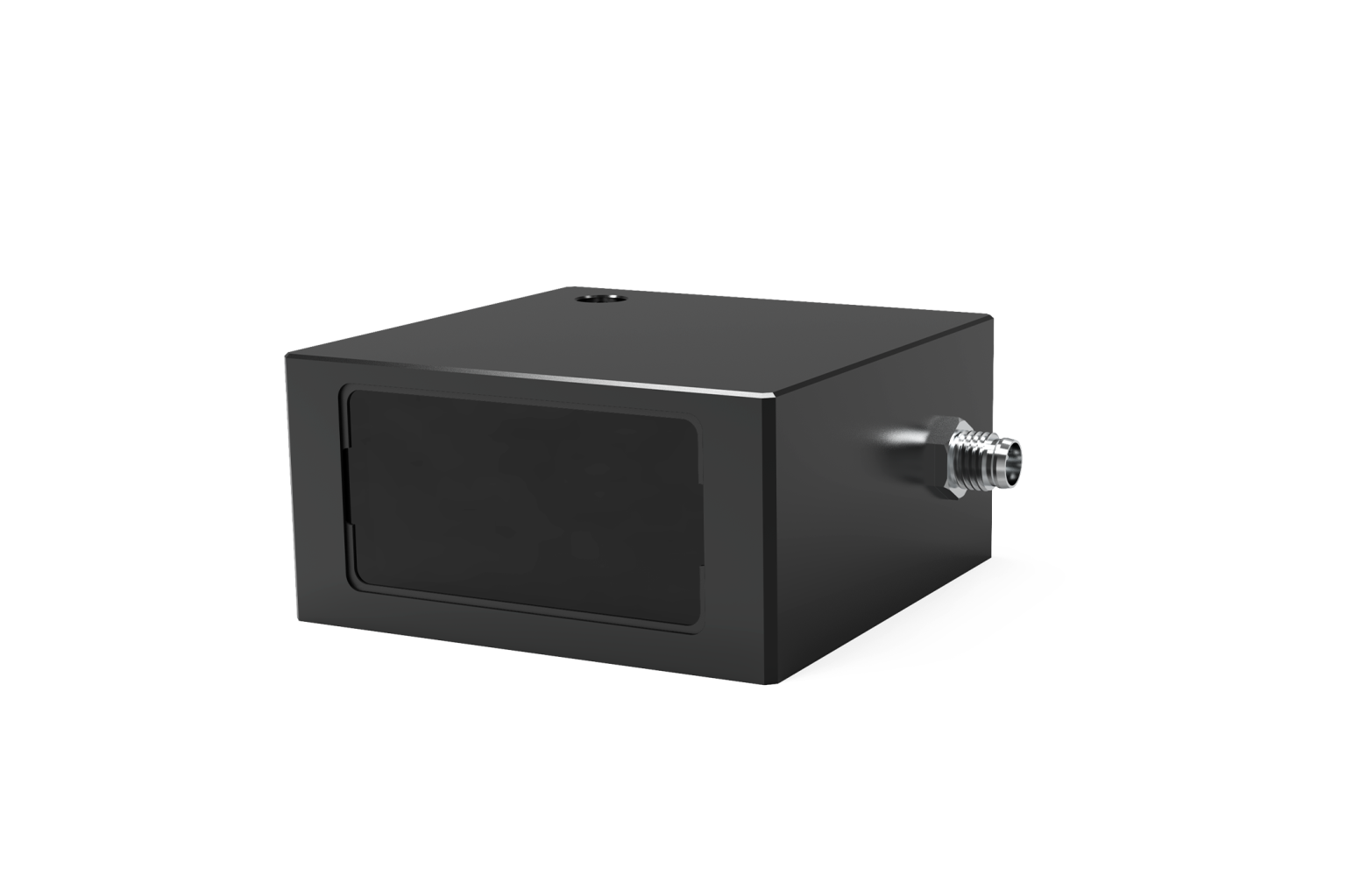
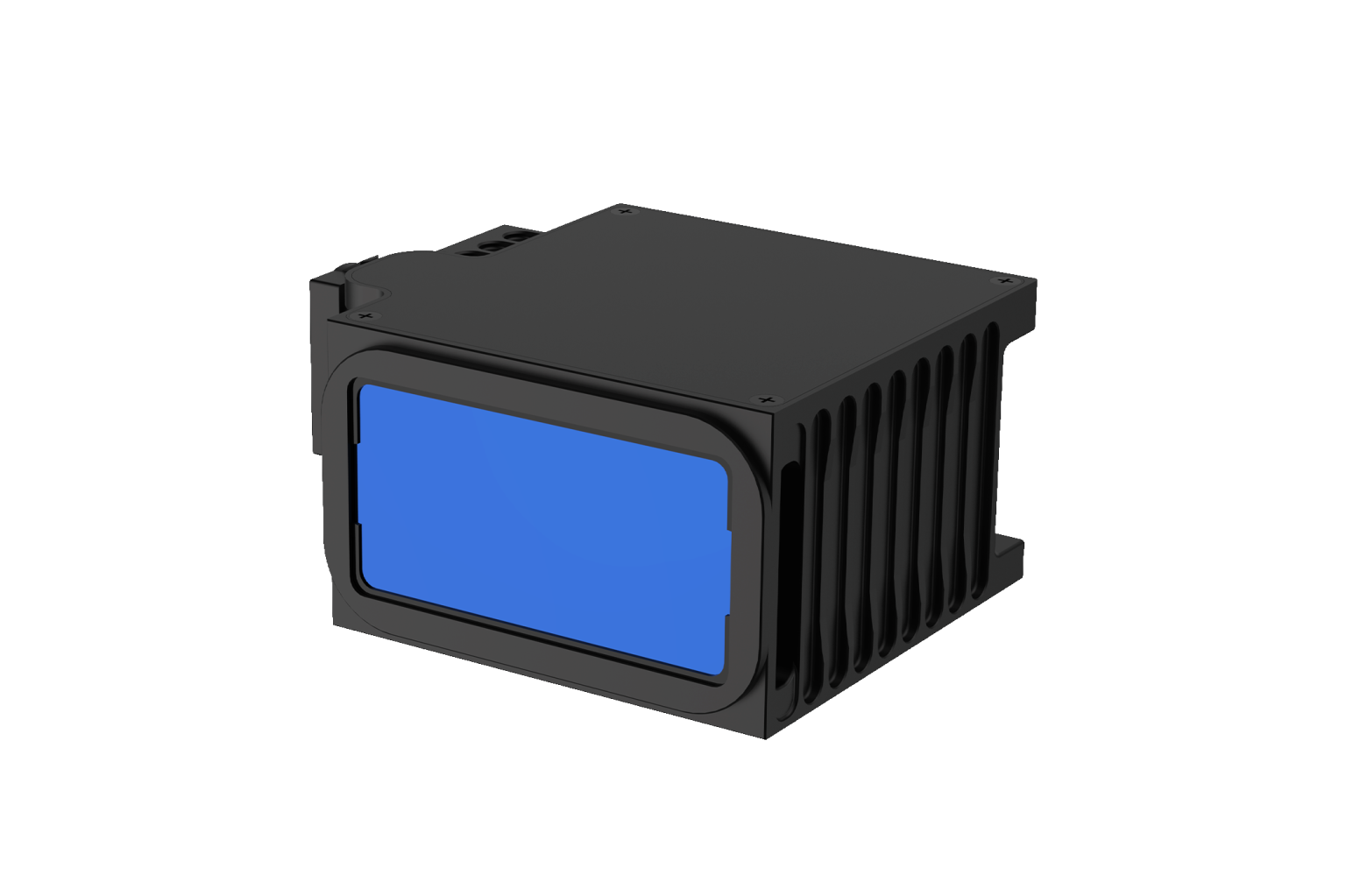
The Leishen Intelligent System LS72D is a laser altimeter designed for drones, helicopters and eVTOL aircraft. It provides real-time distance measurements and supports altitude maintenance for landing, with mapping also among its applications. The altimeter weighs 200 g and measures 60 mm long, 36 mm wide and 38 mm high. Its role within an aircraft is distance and altitude sensing, with the LS72D identified as the laser altimeter component.
The LS72D operates at a wavelength of 905 nm and offers a measurement frequency of 10–200 Hz. Its detection range is specified as 0.2–150 m at the stated 10% qualification. Range precision depends on measurement distance: ±5 cm at distances up to and including 10 m, and 1% beyond 10 m. These distance bands distinguish the precision applicable to close-range measurements from the percentage-based figure applicable over the longer portion of its measurement range.
Specifications
| Specification | Value & conditions |
|---|---|
| Manufacturer and model | Leishen Intelligent System LS72D Laser Altimeter |
| Product purpose | Real-time distance measurement and altitude maintenance for landing support. |
| Applications | Drone/UAV, helicopter, eVTOL and mapping. |
| Wavelength | 905 nm |
| Detection range | 0.2 ~ 150 m@10%At the stated 10% qualification. |
| Range precision | ±5 cm (≤10 m); 1% (greater than 10 m)At distances ≤10 m: ±5 cm; at distances greater than 10 m: 1%. |
| Measurement frequency | 10 ~ 200 Hz |
| Weight | 200 g |
| Dimensions (L × W × H) | 60 × 36 × 38 mm |
Request a quote for LS72D
Send your application, destination country and expected quantity to the ChinaDrone team. We can discuss product selection, configuration and sourcing from China.
Submit your procurement requirements ↗No account needed. A model number is optional. Your enquiry is handled by ChinaDrone.