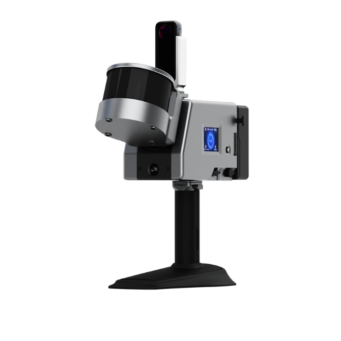
Product overview
The LS500 uses simultaneous localization and mapping to position itself and build three-dimensional maps indoors or outdoors without depending on GNSS.
Its supported scanning platforms include UAVs, backpacks, vehicles, unmanned surface vessels and robot dogs.
Raw scan data can be processed on the device or with ComNav's MAPPING MASTER desktop software.
Specifications
| Specification | Value & conditions |
|---|---|
| Supported platforms | Backpacks, UAVs, vehicles, unmanned surface vessels and robot dogsPlatform scanning methods listed in the brochure. |
| Processing options | On-device or desktop processingProcessing raw scan data into point clouds |
Request a quote for ComNav LS500 Laser Scanner
Send your application, destination country and expected quantity to the ChinaDrone team. We can discuss product selection, configuration and sourcing from China.
Submit your procurement requirements ↗No account needed. A model number is optional. Your enquiry is handled by ChinaDrone.