Product overview
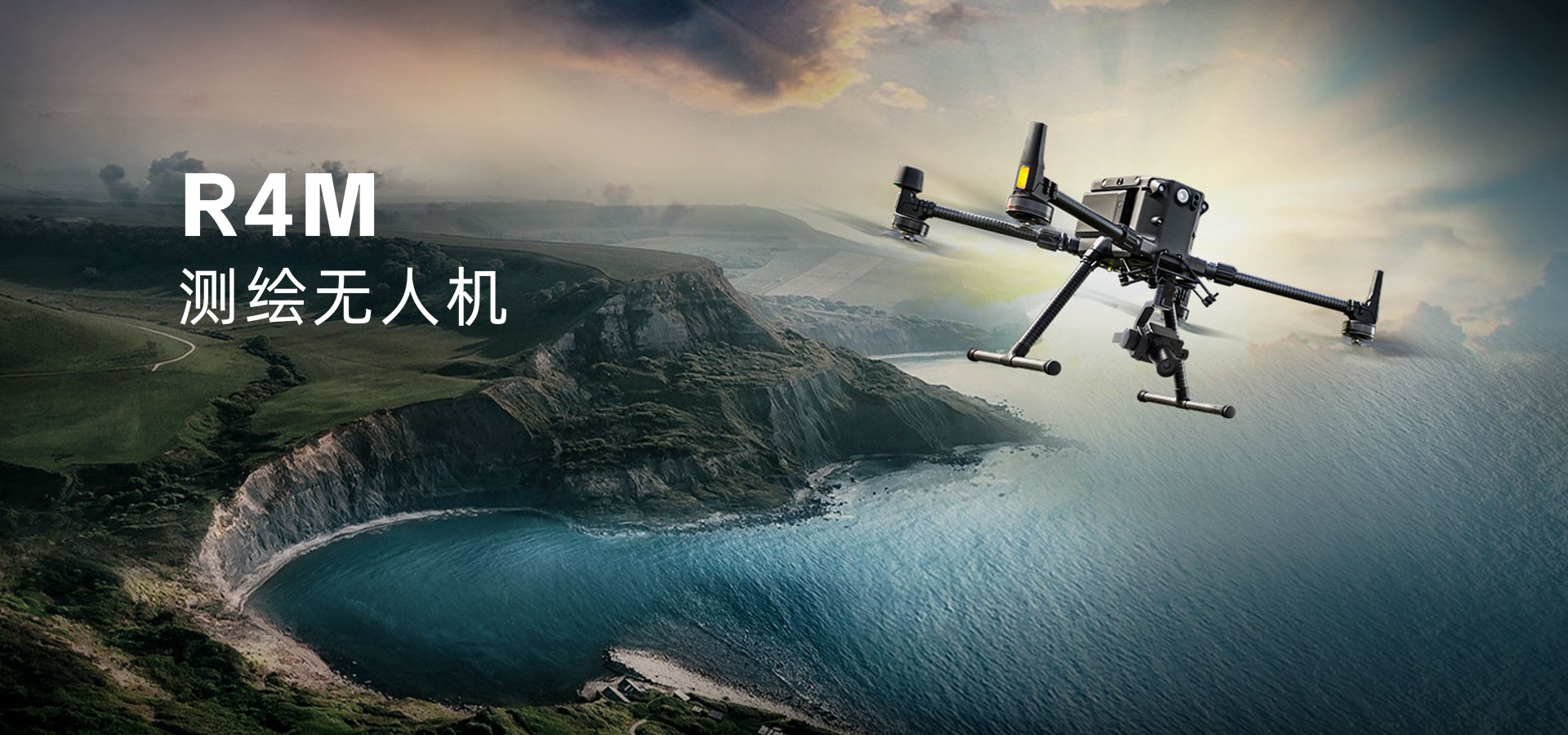
The Hi-Target R4M is a surveying UAV product built around full-frame measurement imaging equipment. Its imaging configuration uses full-frame image sensors and an MLE lens with a classic double-Gauss optical structure. The lens incorporates both extra-low-dispersion ED elements and aspherical elements. This design is intended to provide sufficient image resolution while keeping the lens relatively small in weight and size, combining the stated imaging objective with a compact optical assembly.
The camera includes quick-release storage and a built-in POS system, and supports multiple operating modes. Its software pairing comprises RRA for flight-route planning and Skyscanner for data export, covering planning and export tasks within the surveying workflow. Flight data acquisition and ground data processing can take place simultaneously. This allows those two activities to overlap during surveying work, with the camera hardware and accompanying software supporting the collection and handling of survey imagery.
Specifications
| Specification | Value & conditions |
|---|---|
| Manufacturer and model | Hi-Target R4M surveying UAV |
| Imaging equipment | Full-frame measurement imaging equipment using full-frame image sensors |
| Optical architecture | Double-Gauss lens structure |
| Lens elements | MLE lens incorporating extra-low-dispersion ED and aspherical elements |
| Lens design characteristics | Designed to provide sufficient image resolution while keeping lens weight and size relatively small |
| Storage configuration | Camera equipped with quick-release storage |
| Integrated system | Built-in POS system |
| Camera operating modes | Multiple camera operating modes |
| Flight-planning software | Paired with RRA flight-route planning software |
| Data-export software | Paired with Skyscanner data-export software |
| Concurrent workflow | Flight data acquisition and ground data processing can run simultaneously |
Request a quote for Hi-Target R4M
Send your application, destination country and expected quantity to the ChinaDrone team. We can discuss product selection, configuration and sourcing from China.
Submit your procurement requirements ↗No account needed. A model number is optional. Your enquiry is handled by ChinaDrone.