ChinaDrone.Request a quote ↗
COMPONENT

Bynav M10 GNSS Module

By Bynav ↗

The M10 is a compact GNSS positioning module.

Request a quote ↗
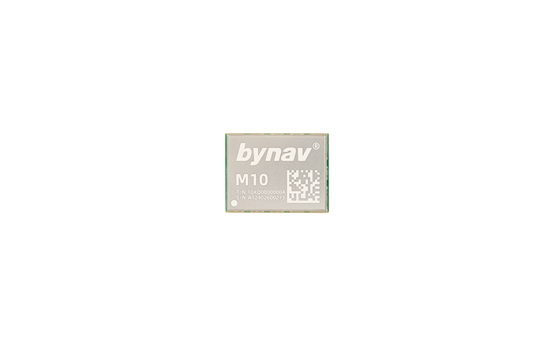
Bynav M10 GNSS positioning module with a silver cover and green board edges.

Product overview

The Bynav M10 is a compact, high-precision GNSS positioning module based on Bynav's Alice automotive-grade GNSS system-on-chip. It combines measurement, navigation and functional safety engines, with multi-constellation, multi-frequency tracking covering BDS-2, BDS-3, GPS, GLONASS, Galileo, QZSS and NavIC. Its intended civilian applications include drones, intelligent robots, precision agriculture, surveying and mapping, autonomous driving, advanced driver assistance and lane-level navigation. Bynav describes the module as designed to handle multipath, interference and blocked satellite signals.

Specified horizontal positioning accuracy is 1.5 m RMS for single-point positioning and 1 cm + 1 ppm RMS for RTK. Vertical accuracy is 2.5 m RMS and 1.5 cm + 1 ppm RMS, respectively. The stated GNSS observation rate is up to 10 Hz, with RTK initialization of 5 seconds or less and RTK solution delay of 50 milliseconds or less. The M10-specific configuration specifies a 16.0 × 12.0 × 1.8 mm, 24-pin LGA package, 450 mW power consumption and a working temperature range of -40 to +85°C. These figures are manufacturer specifications, not results from independent product testing.

Tell us the specifications you need. We can discuss the exact model and configuration for your project.

SOURCE WITH CHINADRONE

Request a quote for Bynav M10 GNSS Module

Send your application, destination country and expected quantity to the ChinaDrone team. We can discuss product selection, configuration and sourcing from China.

Submit your procurement requirements ↗

No account needed. A model number is optional. Your enquiry is handled by ChinaDrone.
KEEP EXPLORING

Similar products

Browse all products ↗
Flight control & navigation

BW-MINS225

By Wuxi Beiwei Sensing Technology

The Beiwei Sensing BW-MINS225 is a compact CAN bus micro inertial navigation system for unmanned aircraft, robots and mobile platforms. Its packaged gyroscope and accelerometer hardware occupies 60 × 59 × 29 mm, accepts 9–36V DC power and provides attitude measurement with temperature compensation, Kalman filtering and bias tracking.

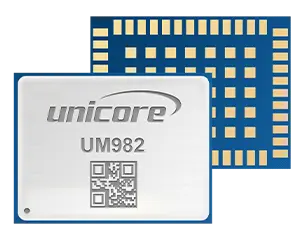
Unicore UM982 GNSS module showing its metal cover and underside contacts.
Flight control & navigation

Unicore UM982

By Unicore

The Unicore UM982 is a compact, 48-pin LGA GNSS module for high-precision positioning and heading in UAVs and other autonomous equipment. It combines a NebulasIV processor, dual-antenna RTK architecture and 20 Hz RTK-plus-heading output. Integration requires attention to antenna signal differences, firmware-dependent interfaces and CAN sharing with UART3.

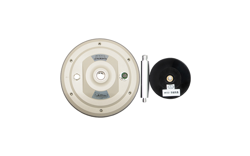
Bynav Gmouse module-integrated RTK antenna shown from below with mounting hardware.
Flight control & navigation

Bynav Gmouse Module-integrated RTK Antenna

By Bynav

The bynav Gmouse Module-integrated RTK Antenna is an integrated GNSS/INS positioning component for machinery and unmanned-system integration. Its Gmouse-M20, M21 and M22 configurations combine an M2-series module with antenna hardware; built-in positioning electronics and inertial sensing support high-precision navigation, with configuration-dependent output rates and qualified accuracy specifications.

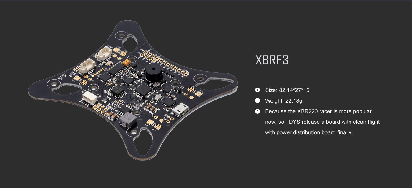
DYS XBRF3 flight controller and power distribution board.
Flight control & navigation

DYS XBRF3 flight controller board

By DYS

The DYS XBRF3 is a quadcopter flight-controller board integrating F3 control, OSD, UBEC and power distribution on one PCB. It provides firmware-update connections and peripheral expansion connectors, accepts 6–16.8 V (2–4S), and specifies a 5 V / 3 A output. A pressure sensor and compass are associated with the advanced integrated edition.