Product overview
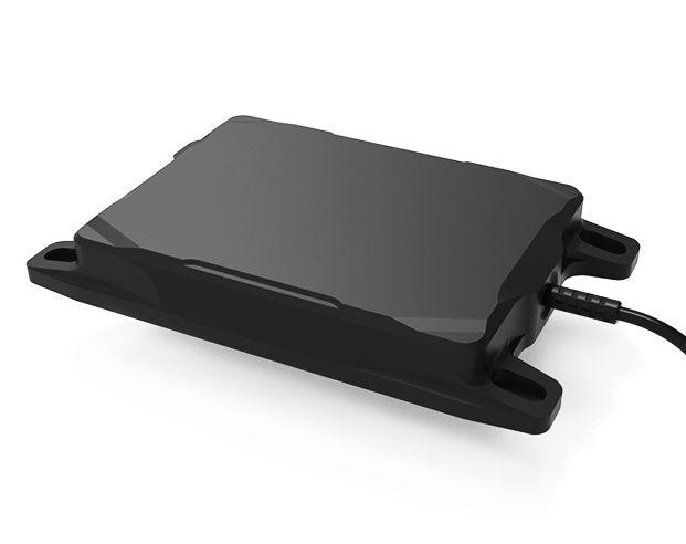
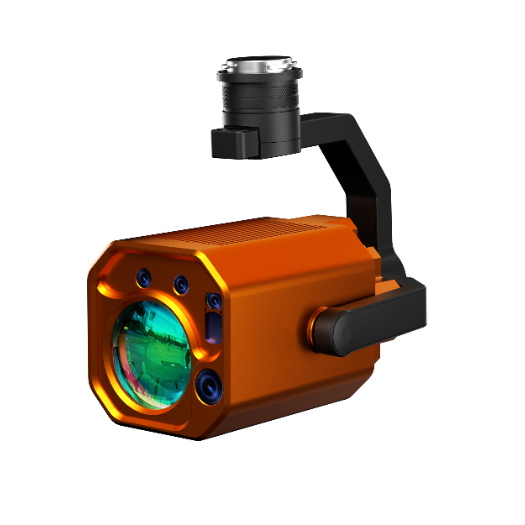
The Benewake TFA300 is a LiDAR sensor for UAV altitude measurement and gimbal rangefinding. Its applications include electro-optical/infrared gimbals, search-and-rescue drones and high-speed FPV racing drones. It supports automatic camera focal-distance adjustment, localization, altitude maintenance during cruise and obstacle avoidance during high-speed flight. The TFA300 uses an IP67 protective housing and weighs 34.5 g; the related TFA300-L omits the housing and weighs 10.5 g. These are sensor configurations for integration into aircraft and gimbals.
The measurement range is 0.1 ~ 290 m, with a field of view below 0.5°. Default frame rates span 1 ~ 1,000 Hz, while 10,000 Hz requires ultra-high frequency mode. Accuracy is ±10 cm below 10 m and 1% at distances of 10 m or more. Operating temperature spans -20 °C ~ 60 °C, with operation under 100 KLux ambient light. Integration provisions include JST GH connectors, CAN, an SDK supporting DroneCAN, and native support for PX4 and Ardupilot.
Specifications
| Specification | Value & conditions |
|---|---|
| Product | Benewake TFA300 drone altitude sensor and gimbal rangefinder |
| Housing | IP67 protective housingTFA300 configuration. |
| Housing | Without housingTFA300-L configuration. |
| Frame rate | 1 ~ 1,000 HzDefault working mode. |
| Maximum frame rate | 10,000 HzUltra-high frequency working mode. |
| Measurement range | 0.1 ~ 290 m |
| Field of view | Less than 0.5° |
| Weight | 10.5 gTFA300-L without housing. |
| Weight | 34.5 gTFA300 with IP67 protective housing. |
| Accuracy | ± 10 cmMeasured distance less than 10 m. |
| Accuracy | 1%Measured distance ≥ 10 m. |
| Operating temperature | -20 °C ~ 60 °C |
| Flight-control connector | JST GH; direct flight-control connection without adapters |
| Interface | CAN |
| SDK protocol | DroneCAN |
| Flight-control ecosystem support | PX4 and Ardupilot |
| Ambient illumination | 100 KLuxAmbient light. |
| Distance-update spacing | 3.4 cm10,000 measurements per second; object moving at Mach 1. |
| Applications and functions | EO/IR gimbals, search-and-rescue drones and high-speed FPV racing drones; automatic camera focal-distance adjustment, localization, cruise altitude maintenance and high-speed obstacle avoidance |
Request a quote for Benewake TFA300
Send your application, destination country and expected quantity to the ChinaDrone team. We can discuss product selection, configuration and sourcing from China.
Submit your procurement requirements ↗No account needed. A model number is optional. Your enquiry is handled by ChinaDrone.