Find aircraft and components for your next project.
The FS60 is a hyperspectral measurement system for drones.
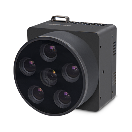
The YUSENSE AQ600 is a five-band multispectral video camera payload with an RGB channel for agricultural, forestry, aquatic-ecology and target-recognition applications. Its compact aluminum-alloy body supports integration with small multirotor and fixed-wing UAVs. Standard equipment includes a downwelling light sensor and 128G storage, alongside synchronized imaging, onboard spectral processing and video output.
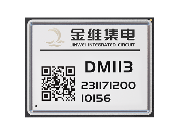
Changsha Jinwei Integrated Circuit Co., Ltd’s DM113 is a compact BeiDou satellite/inertial positioning module for UAVs and other precision equipment. It combines an S207N RF/baseband chip, built-in inertial devices and multipath mitigation, supports RTK, RTD and PPP, and occupies a 17mm × 22mm × 2.8mm integration envelope at 2g.
The Changsha Jinwei Integrated Circuit Co., Ltd DM711-B is a high-precision satellite–inertial integrated positioning module. Its stated purpose is integrated positioning, and its hardware category is a module within the manufacturer’s high-precision product range.
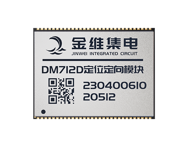
Changsha Jinwei Integrated Circuit Co., Ltd’s DM712D is a compact GNSS positioning and heading module for integration into UAVs and other precision equipment. It supports dual-antenna heading, multiple satellite constellations and RTK, DGNSS and PPP positioning. The 7.8g module provides serial and timing interfaces within a 30mm × 40mm footprint.
The Jinwei TV108 is a BeiDou high-precision integrated navigation terminal from Changsha Jinwei Integrated Circuit Co., Ltd. Its product designation identifies it as a navigation terminal within the manufacturer’s range of high-precision terminal hardware.
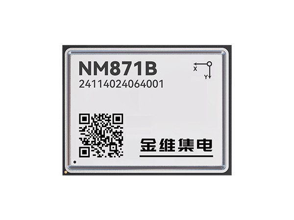
Changsha Jinwei Integrated Circuit Co., Ltd’s NM871B is a compact GNSS and inertial navigation module for embedded positioning, including UAV integration. It combines the NEMO baseband/RF chip with built-in inertial navigation, supports multiple satellite constellations and precision positioning modes, and provides serial interfaces within a 17mm × 22mm × 2.8mm package.
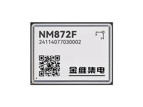
Changsha Jinwei Integrated Circuit Co., Ltd’s NM872F is a compact positioning and heading module built around its NEMO GNSS chip. It combines satellite positioning with built-in inertial navigation, supports RTK, DGNSS and PPP, and offers dual-antenna heading calculation in a 16 mm × 21 mm × 2.8 mm package.
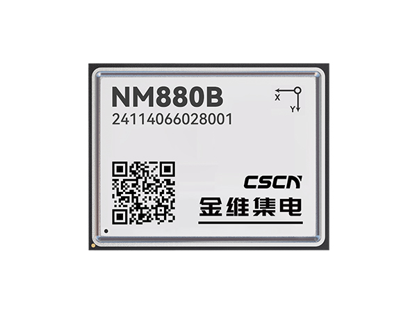
The Changsha Jinwei Integrated Circuit Co., Ltd NM880B is a compact GNSS and inertial positioning module with dual-frequency low Earth orbit navigation augmentation reception. It combines a NEMO baseband/RF chip with built-in inertial navigation, supports RTK and DGNSS, and provides serial, timing and peripheral interfaces within a 17mm × 22mm × 2.8mm package.
The CYS-C25-BLS30-0040-02 is a brushless servo for UAVs and model aircraft.
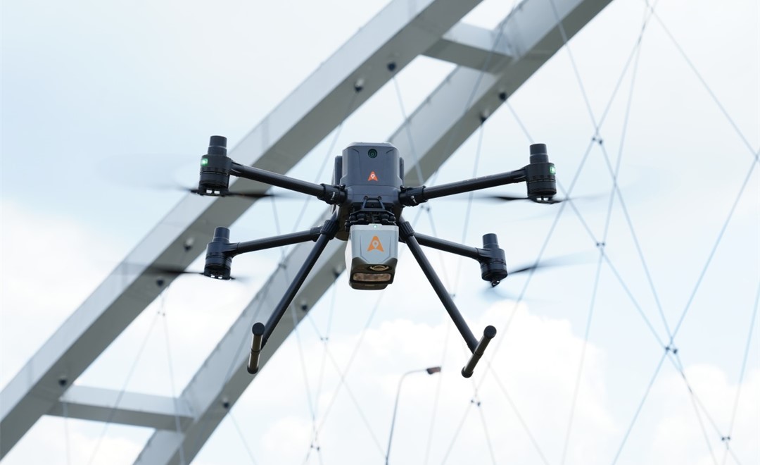
The AlphaAir 10 is an airborne LiDAR and RGB system.
AlphaAir 10 Professional is an aerial LiDAR and RGB system.
 industry
 industry
 industry
 industry
 industry
 industry
 inspection