Surveying & mapping
Build a system around the information your survey needs to produce.
Define your operating requirements.
- Required deliverables and accuracy
- Site size, terrain and flight conditions
- Camera or LiDAR payload and positioning workflow
Build the complete workflow.
Consider the aircraft, sensor, positioning equipment and processing workflow together.
This is an application planning overview, not a report of a customer deployment. The products below match the category; suitability for your task requires confirmation.
Discuss this application ↗Explore related equipment
Aircraft
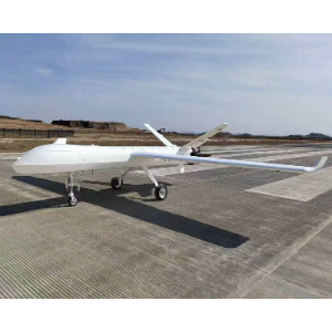
AOSSCI XC-15
By AOSSCIThe XC-15 is an electric vertical takeoff and landing fixed wing unmanned aircraft system.
Aircraft
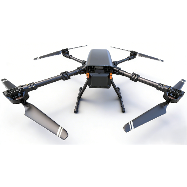
TK440
By Anhui Lanyu Intelligent Technology Co., Ltd.The TK440 supports reconnaissance during emergency response.
Aircraft
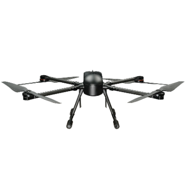
TK800
By Anhui Lanyu Intelligent Technology Co., Ltd.A patrol aircraft for reconnaissance during emergency operations.
Aircraft
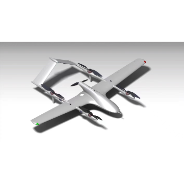
M-2580
By Anhui Mengzhiyi Zhihang Technology Co.,Ltd.The M-2580 is a multipurpose VTOL fixed-wing UAV.
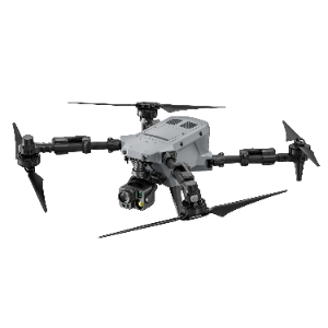
Aircraft
Autel Robotics Dragonfish Standard
By Autel RoboticsDragonfish Standard is listed for power transmission line inspection.
Aircraft
Autel Robotics Dragonfish Standard DF-S3
By Autel RoboticsDF-S3 is the dock variant of Dragonfish Standard.