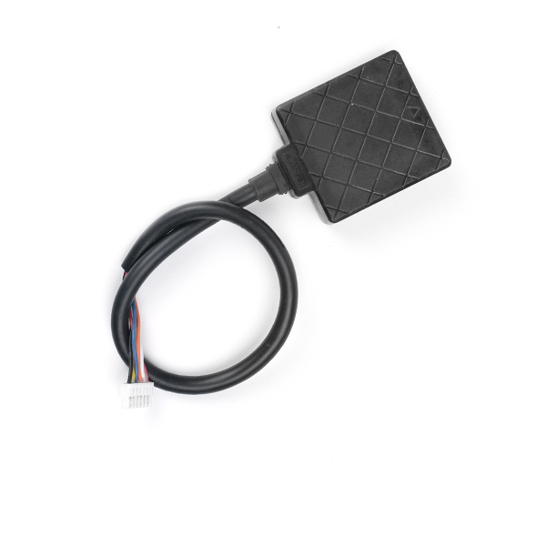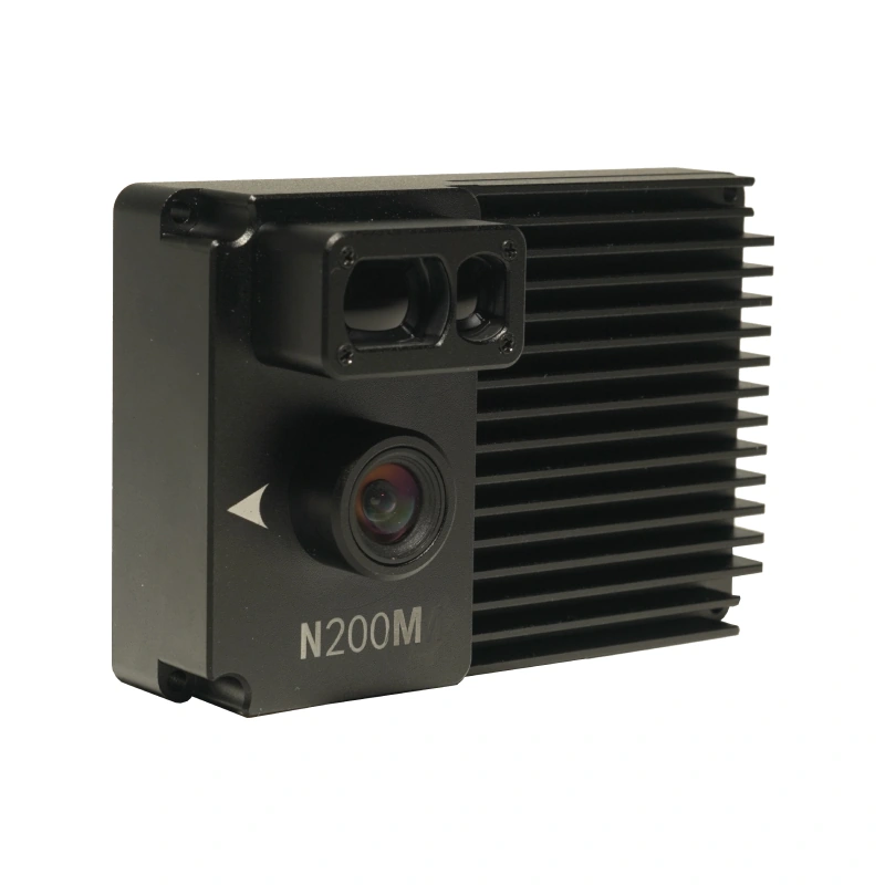
Product overview
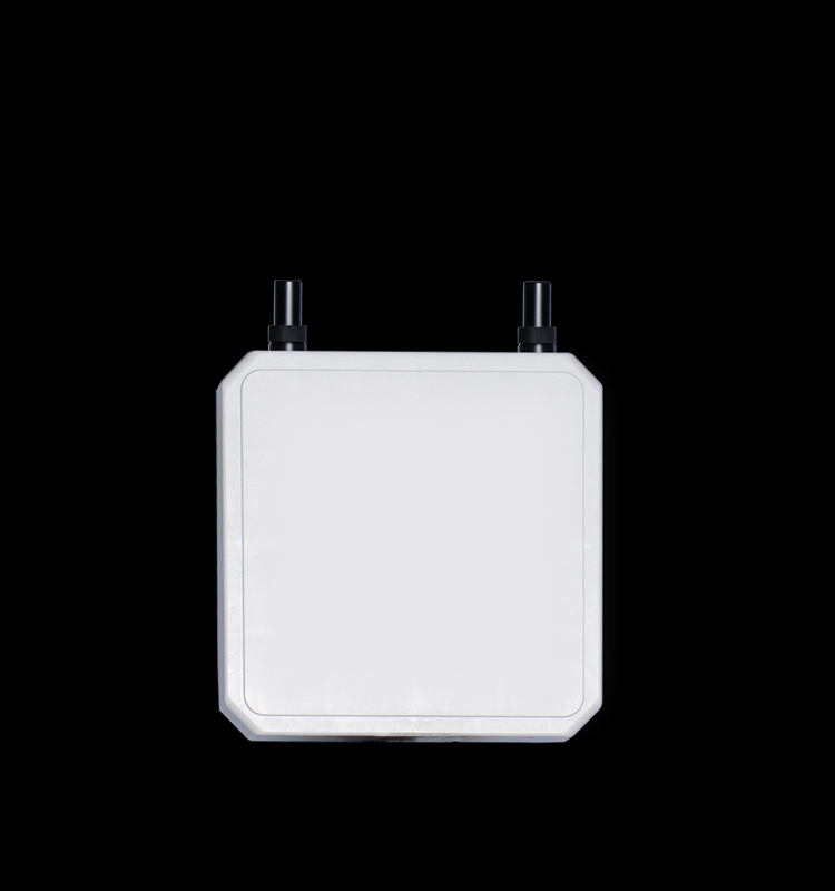
The ZHTAERO N200m Visual Navigation Module Vio Industrial UAV is a visual positioning module for UAV operations in GPS-denied environments. It provides relative positioning where GPS is denied, jammed or spoofed. Its stated operating flight altitude is 30-200 m, with navigation accuracy within 5% over that altitude range.
The N200m provides MAVLink output at 30 Hz and is compatible with PX4 and APM flight control systems. For deployment in unfamiliar areas, it does not require a preloaded satellite map. Its navigation function combines this map-preparation requirement with visual relative positioning for the specified GPS-denied, jammed or spoofed operating environments.
Specifications
| Specification | Value & conditions |
|---|---|
| Manufacturer and model | ZHTAERO N200m Visual Navigation Module Vio Industrial UAV |
| Product purpose | Visual navigation module for UAV positioning in GPS-denied environments. |
| Positioning function | Visual relative positioningIn GPS-denied, jammed or spoofed environments. |
| Flight altitude | 30-200 m |
| Navigation accuracy | Within 5%At 30-200 m flight altitude. |
| Output rate and protocol | 30 Hz MAVLink output |
| Flight control compatibility | PX4 and APM |
| Satellite map requirement | No preloaded satellite map requiredFor deployment in unfamiliar areas. |
Ask for the N200m Visual Navigation Module Vio Industrial UAV price ↑