Product overview
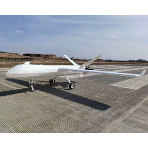
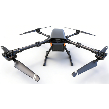
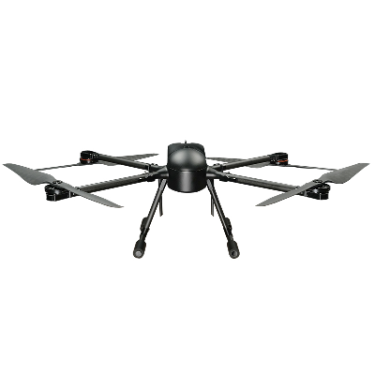
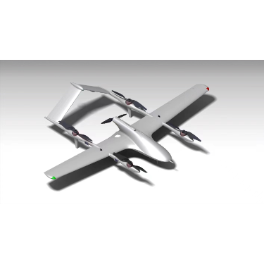
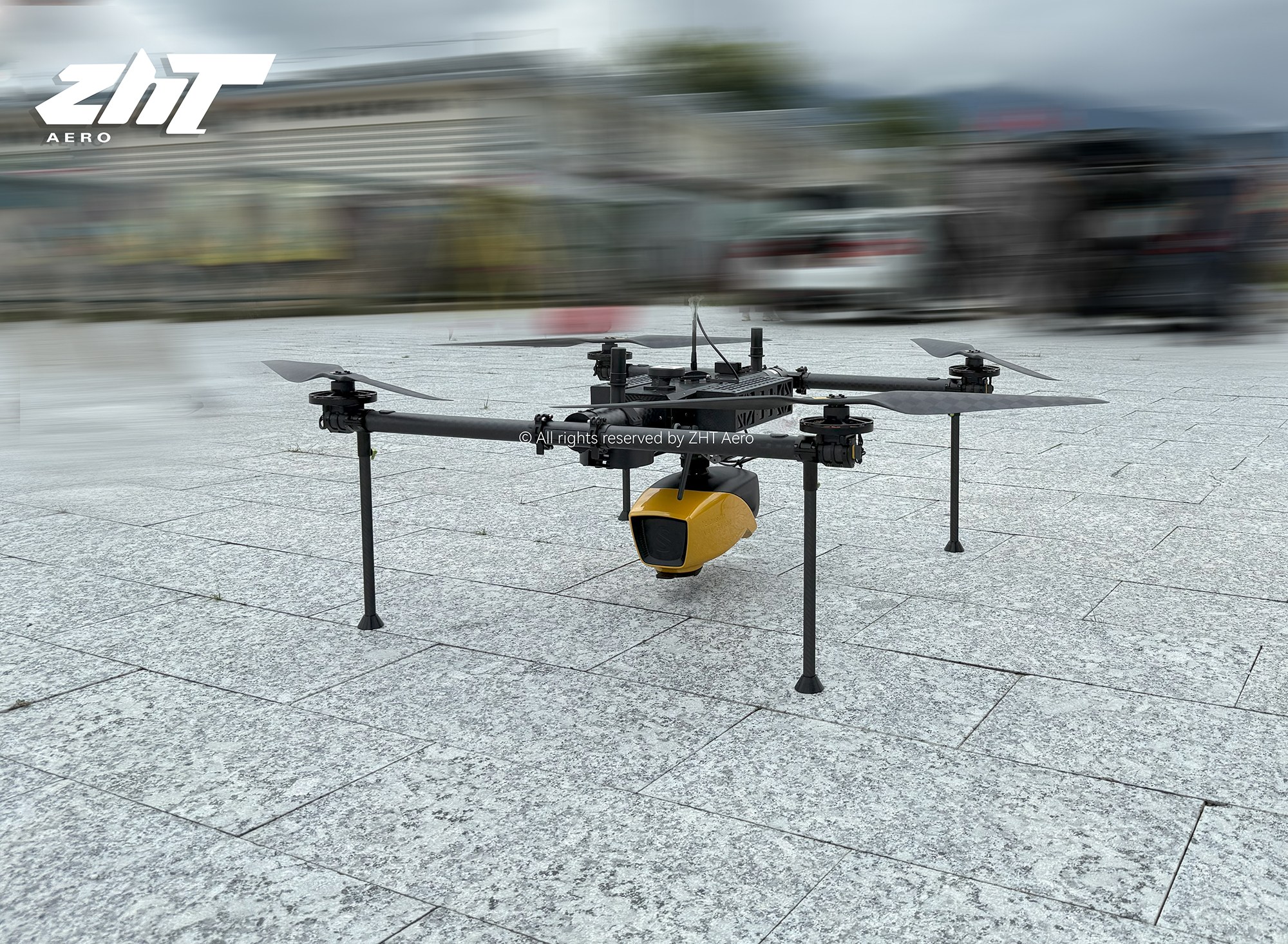
Built around the KEEL flying platform, the ZHTAERO Bathymetric LiDAR Drone carries an integrated scanner for surveying terrain on land and beneath water. Its aerial imaging applications span hydrographic surveys and underwater resource management across rivers, coastlines, estuaries, lakes, ponds and gravel pits. The platform supports a maximum payload of 10kg and a maximum flight time of 120 minutes. For the classic version carrying a 5kg payload, flight time is 60 minutes. The LiDAR weighs 3.7kg without battery, with a maximum AGL of 100m and system accuracy of 3cm.
A single-touch start initiates autonomous data acquisition. Satellite-based differential RTX enables operation worldwide without a base station, while an integrated high-precision system determines positioning and attitude. Multiple echoes increase the detail captured when detecting ground objects. For processing, a single-touch track correction function creates a visual 3D point cloud without relying on the laser sensor manufacturer's preprocessing software. Together, these functions support the drone's land and underwater terrain scanning work, from collecting survey data to generating a three-dimensional view.