Product overview
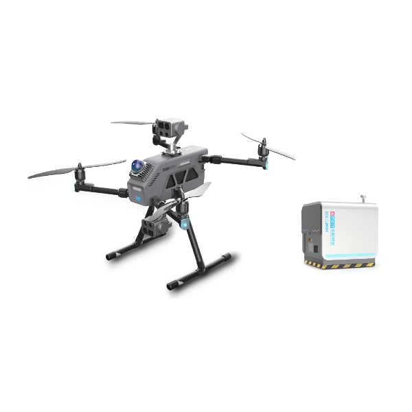
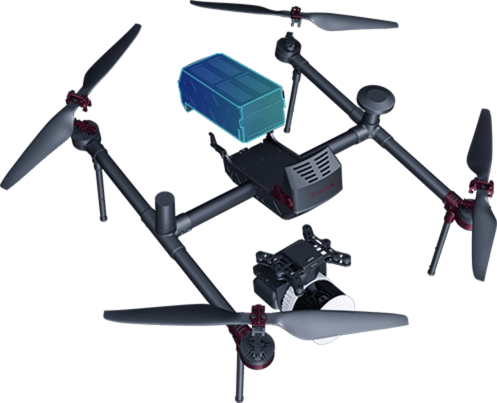
The JOUAV CW-15 LiDAR system combines an electric UAV with the JoLiDAR-120 sensor for aerial surveying and inspection, with applications in digital mines, energy inspection, smart cities and rail transportation. The sensor weighs 2.7 kg including its camera and offers a maximum range of 1430 m, a 100° field of view and a data acquisition rate of up to 1.8 million points per second. With JoLiDAR-120 fitted, the CW-15 has an effective operating time of up to 100 minutes.
JoLiDAR-120 combines laser measurements with visible-light imagery to generate dense, true-color point clouds, with a stated vertical accuracy better than 2 cm without ground control points. Its beam scans in three directions: forward +10°, vertically downward and backward -10°. Integration with the flight control system lets operators configure LiDAR parameters through JOUAV FlightSurv ground station software. Data acquisition starts automatically before entry into the survey area, and operators can monitor LiDAR temperature, GNSS, inertial guidance and data storage status during flight.
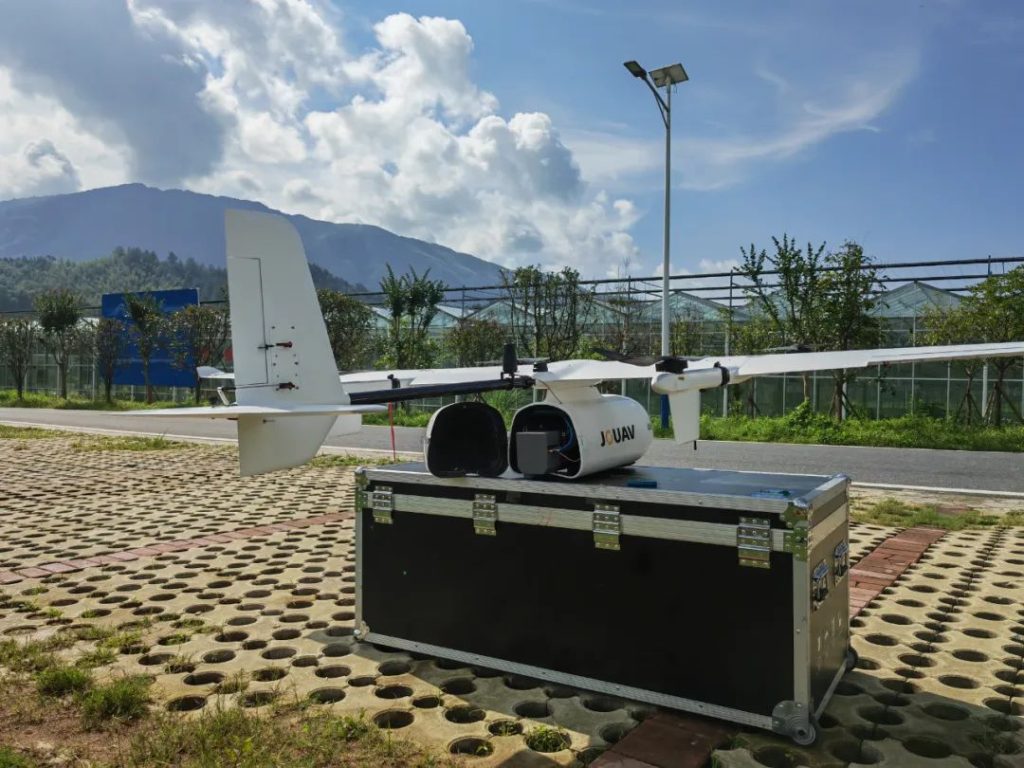
At a wind farm site in Fengxin County, Jiangxi Province, Guohong New Energy Co. Used CW-15LiDAR to collect 1:2000 point cloud results. The mountainous survey area had dense vegetation, year-round windy weather and elevation differences of more than 1200 m. The team divided it into low, medium and high altitude areas, completing one, three and two flights respectively. Project engineer Evan Wang reported that the data collection workflow took five hours and achieved an elevation mean error of 10.4 cm under those conditions.
Specifications
| Specification | Value & conditions |
|---|---|
| Integrated applications | Digital mines, energy inspection, smart cities and rail transportationApplications reported by JOUAV for the CW-15 LiDAR system |
| Effective operating time | Up to 100 minutesCW-15 equipped with JoLiDAR-120 LIDAR |
| LiDAR parameter control | Through JOUAV FlightSurvLiDAR integrated with the flight control system |
| Automatic acquisition | Starts before entry into the survey areaIntegrated drone and LiDAR operation |
Request a quote for JOUAV CW-15 LiDAR system
Send your application, destination country and expected quantity to the ChinaDrone team. We can discuss product selection, configuration and sourcing from China.
Submit your procurement requirements ↗No account needed. A model number is optional. Your enquiry is handled by ChinaDrone.