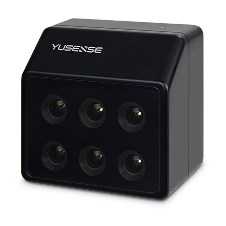
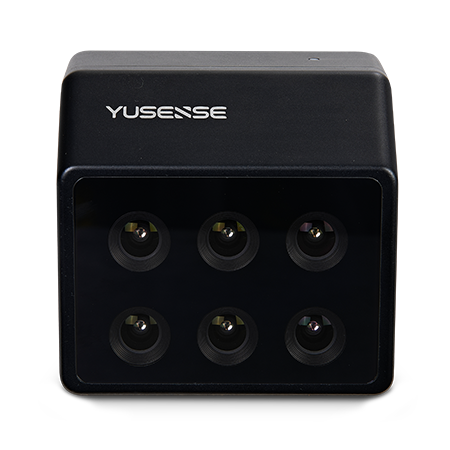
Product overview
The YUSENSE MS600 V2 is a six-band multispectral camera for aerial observation in precision agriculture, forestry monitoring and river and lake ecology. It supports multiple multirotor and fixed-wing drone platforms, including small aircraft of both types. Its six channels each provide 1.2-megapixel imaging with a global shutter and 12-bit quantization, with millisecond-level synchronization across channels. The standard spectral configuration is 450nm@30nm, 555nm@27nm, 660nm@22nm, 720nm@10nm, 750nm@10nm and 840nm@30nm. The camera combines a sapphire optical window, all-glass lenses and an aluminum-alloy body.
The MS600 V2 includes a downwelling light sensor and performs onboard, real-time reflectance calculation. It records 16-bit raw TIFF images and 8-bit reflectance JPEG images containing GPS and ambient-light information. Capture options include external, timed, overlap-based and cascade triggering, with a specified capture frequency of 1Hz dependent on the storage medium's actual read and write speeds. A 64GB microSD card is standard, with support for cards up to 128GB rated U3 or higher. The main unit measures no more than 80 × 75 × 55mm and weighs no more than 280g.
Civilian applications include assessing crop growth and vegetation cover, monitoring black and odorous water bodies, and locating discolored standing pine trees. These workflows use spectral information to support vegetation assessment, water-environment evaluation and forestry management. At an altitude of 120m, the specified ground resolution is 8.65cm and coverage is 110 × 83m. Operation is specified from 0°C to +45°C with relative airflow of at least 1m/s, and at 20–80% relative humidity without condensation.
Specifications
| Specification | Value & conditions |
|---|---|
| Spectral channels | 6MS600 V2 configuration |
| Drone platform compatibility | Multiple multirotor and fixed-wing platformsAs listed for MS600 V2 |
Request a quote for YUSENSE MS600 V2 multispectral camera
Send your application, destination country and expected quantity to the ChinaDrone team. We can discuss product selection, configuration and sourcing from China.
Submit your procurement requirements ↗No account needed. A model number is optional. Your enquiry is handled by ChinaDrone.