ChinaDroneRequest a quote →

Unicore UM680

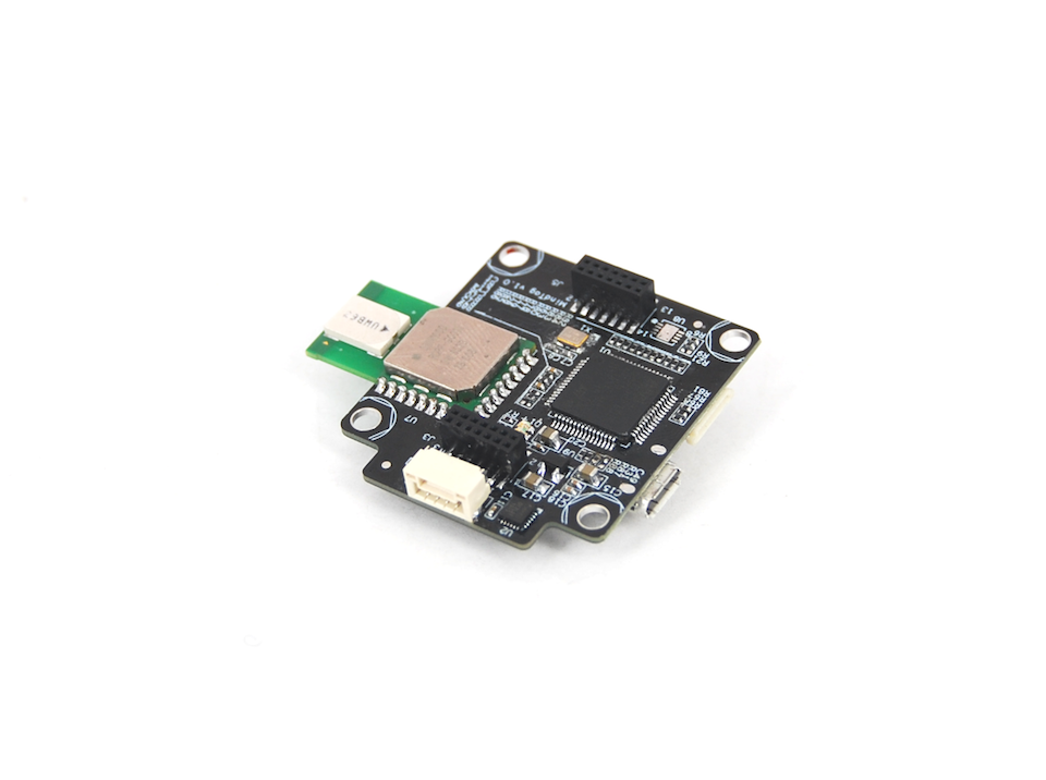
The Unicore UM680 is a multi-GNSS, dual-frequency RTK positioning and navigation module for industrial applications. Built around the UC6580I GNSS SoC in a 54-pin LGA package, it delivers open-sky RTK accuracy of 1 cm + 1 ppm horizontally and 2 cm + 1 ppm vertically, both RMS, with raw data output and A-GNSS support.

UnicoreDrone flight controller
Dimensions
22.0 x 17.0 x 2.6 mm
Voltage
2.7 V ~ 3.6 V DC

Get a free quote

Product overview

The Unicore UM680 provides high-precision GNSS RTK positioning and navigation for industrial applications. Built around the proprietary UC6580I multi-system, dual-frequency GNSS SoC, it supports single-system standalone positioning and multi-system joint positioning. A-GNSS reduces time to first fix, while its anti-jamming design supports operation in complex electromagnetic environments. In open sky, RTK positioning accuracy is 1 cm + 1 ppm horizontally and 2 cm + 1 ppm vertically, expressed as RMS. The module also supports raw data output.

The UM680 measures 22.0 x 17.0 x 2.6 mm and uses a 54-pin LGA package, with a production process that complies with IATF16949. It operates from 2.7 V ~ 3.6 V DC and consumes 240 mW during continuous tracking in open sky. Interfaces include two LVTTL UARTs and one LVTTL 1PPS interface; I2C and SPI require specific firmware. It supports passive and active antennas, RTCM V3.X corrections, and NMEA 0183 and Unicore data formats. Modules are supplied in multiples of 250 pieces.

Flight control & navigation

Specifications

Unicore UM680 specifications
SpecificationValue & conditions
Product type and applicationUnicore UM680 high-precision GNSS RTK positioning and navigation module for industrial applications
GNSS processorProprietary UC6580I multi-system, dual-frequency GNSS SoC
Production processComplies with IATF16949
Channel96 channels, based on UFirebird II
FrequenciesGPS L1C/A, L5; BDS B1I, B1C, B2a; GLONASS G1; Galileo E1, E5a; NavIC L5; QZSS L1, L5; SBAS L1C/ABDS B1C, GLONASS G1 and NavIC L5 require specific firmware.
Positioning modesSingle-system standalone positioning; multi-system joint positioning
Time to first fix and reacquisition
  • Cold start: less than 26 s;
  • hot start: less than 2 s;
  • reacquisition: less than 2 s
Single point positioning accuracyHorizontal: 1.5 m; vertical: 2.5 mOpen sky; RMS.
RTK positioning accuracyHorizontal: 1 cm + 1 ppm; vertical: 2 cm + 1 ppmOpen sky; RMS.
Velocity accuracy0.05 m/sRMS; 68% at 30 m/s for dynamic operation, open sky.
1PPS20 ns
GNSS sensitivity
  • GNSS tracking: -162 dBm;
  • cold start: -147 dBm;
  • hot start: -157 dBm;
  • reacquisition: -158 dBm
Data update rate1 Hz / 5 Hz / 10 Hz
CorrectionRTCM V3.X
Data formatNMEA 0183, Unicore
Dimensions22.0 x 17.0 x 2.6 mm
Package54 pin, LGA
Voltage2.7 V ~ 3.6 V DC
LNA feed power2.7 V ~ 3.3 V, less than 100 mA
Power consumption240 mWOpen sky, continuous tracking.
Interfaces2 × UART (LVTTL); 1 × I2C; 1 × SPI; 1 × 1PPS (LVTTL)I2C and SPI require specific firmware.
Antenna supportPassive and active antennas
Assisted GNSSSupports A-GNSS to reduce time to first fix
Anti-jamming designAnti-jamming design for operation in complex electromagnetic environments
Raw data outputSupports raw data output
Supply quantitySupplied in multiples of 250 pieces

Related guides