ChinaDrone.Request a quote ↗
COMPONENT

TTSK-D01 Fixed UAV Detecting and Locating System

By Tatusky Technology Co., Ltd ↗

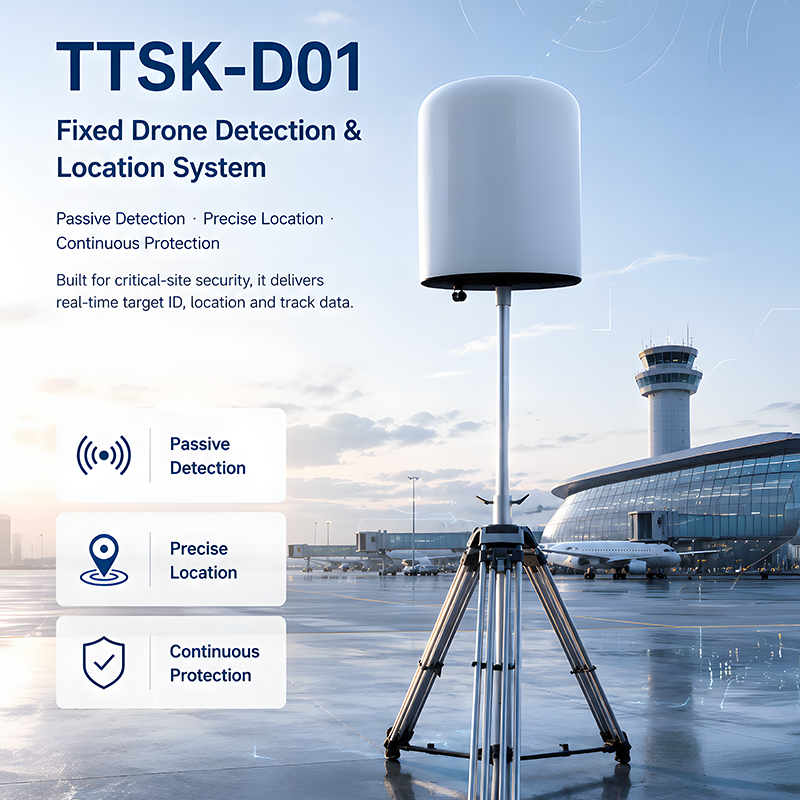
Tatusky Technology Co., Ltd’s TTSK-D01 Fixed UAV Detecting and Locating System is a stationary passive RF detector for outdoor perimeter and regional monitoring. It supports standalone offline operation or networked deployment, with drone and controller positioning, an IP65 enclosure and 1–10km effective detection distance depending on the site environment.

Get a free sourcing quote for TTSK-D01 Fixed UAV Detecting and Locating System

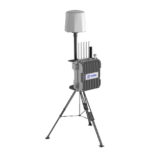
TTSK-D01 fixed UAV detecting and locating system with a cylindrical detector mounted on a tripod.
Product identityTTSK-D01 Fixed UAV Detecting and Locating System
Equipment architecture and purposeStationary UAV signal detection and location equipment for long-term outdoor deployment.
Passive reception and acquired dataPassively receives UAV wireless signals to acquire device serial code, geographic coordinates, flying speed, takeoff point and remote controller location.
Operating configurationsStandalone offline operation, multi-unit networking and connection to matching peripheral equipment.
Recognizable UAV typesDJI, Autel, FPV, Xiaomi, Yuneec, Hubsan, Tello, homemade traversing & WiFi drones; locatable DJI series: Mavic, Air, Mini, FPV, Avata.
Detection frequency band100MHz–6000MHz

Product overview

The TTSK-D01 uses a stationary outdoor enclosure and passive RF reception to detect and locate UAV activity. Its receive-only architecture acquires drone serial codes, geographic coordinates, speed, takeoff points and remote-controller locations without transmitting electromagnetic waves. Recognition covers the listed DJI, Autel, FPV, Xiaomi, Yuneec, Hubsan, Tello, homemade and WiFi drone categories; the specifically listed locatable DJI families are Mavic, Air, Mini, FPV and Avata. Real-time drone and controller coordinates, azimuth and distance support monitoring around facilities and wider protected areas.

Deployment can use a standalone offline unit or multiple networked units. Integration support includes TDOA positioning equipment and anti-drone jammers, allowing the detector to form part of a broader regional protection installation. Monitoring functions include simultaneous target tracking, live trajectory display, historical playback, authorized-drone marking and alarms for unknown intrusions. Flight-data statistics, thermal and line charts, and selectable electronic maps provide presentation options. The product is a fixed detecting and locating unit, with external equipment described as connection options.

The IP65 casing supports long-term outdoor installation, with a working temperature of -20°C to 65°C and continuous 7×24-hour monitoring. Detection spans 100MHz–6000MHz and flight altitudes of 0m–1000m. Effective distance is 1–10km depending on the site, with the 10km maximum tied to an open, unobstructed environment; buildings, trees and electromagnetic interference reduce range. Listed capabilities include at least five simultaneous targets and trajectories, azimuth RMS error of ≤1.5°, positioning accuracy of ≤10m and identification response within ≤5s.

Specifications

SpecificationValue & conditions
Product identityTTSK-D01 Fixed UAV Detecting and Locating System
Equipment architecture and purposeStationary UAV signal detection and location equipment for long-term outdoor deployment.
Passive reception and acquired dataPassively receives UAV wireless signals to acquire device serial code, geographic coordinates, flying speed, takeoff point and remote controller location.
Operating configurationsStandalone offline operation, multi-unit networking and connection to matching peripheral equipment.
Recognizable UAV typesDJI, Autel, FPV, Xiaomi, Yuneec, Hubsan, Tello, homemade traversing & WiFi drones; locatable DJI series: Mavic, Air, Mini, FPV, Avata.
Detection frequency band100MHz–6000MHz
Effective detection distance1–10km (depends on site environment)Depends on site environment.
Detectable flight altitude0m–1000m
Simultaneous detectable targets≥5 sorties
Simultaneous trackable trajectories≥5 strips
Azimuth RMS error≤1.5°
Positioning accuracy≤10m
Detection success rate≥95%
Identification response time≤5s
Maximum effective detection rangeMax 10km effective detection in open unobstructed environmentOpen unobstructed environment.
Continuous omnidirectional monitoring7×24 hours continuous omnidirectional monitoring, with adaptation to complex electromagnetic interference and harsh weather.
Outdoor enclosureIP65 casing, wide temperature tolerance for long-term outdoor fixed deployment.Long-term outdoor fixed deployment.
Working temperature-20°C to 65°C
Electromagnetic transmissionReceive-only drone RF detection without electromagnetic transmission.
Drone and controller positioningReal-time coordinates, azimuth and distance for both the drone and pilot remote controller.
Trajectory functionsMultiple-drone detection with real-time trajectory display and historical playback.
Authorization and alarmsAuthorized-drone marking and alarms for unknown intruding UAVs.
External system integrationMulti-unit networking with support for TDOA locators and anti-drone jammers.
Data visualization and mapsFlight-data statistical analysis, thermal and line charts, and switchable Gaode, Baidu, Bing and Google electronic maps.
Detection range limitationsBuildings, trees and electromagnetic interference reduce actual detection distance.Buildings, trees and electromagnetic interference.

Ask for the TTSK-D01 Fixed UAV Detecting and Locating System price ↑
More payloads & thermal cameras from Chinese manufacturers →
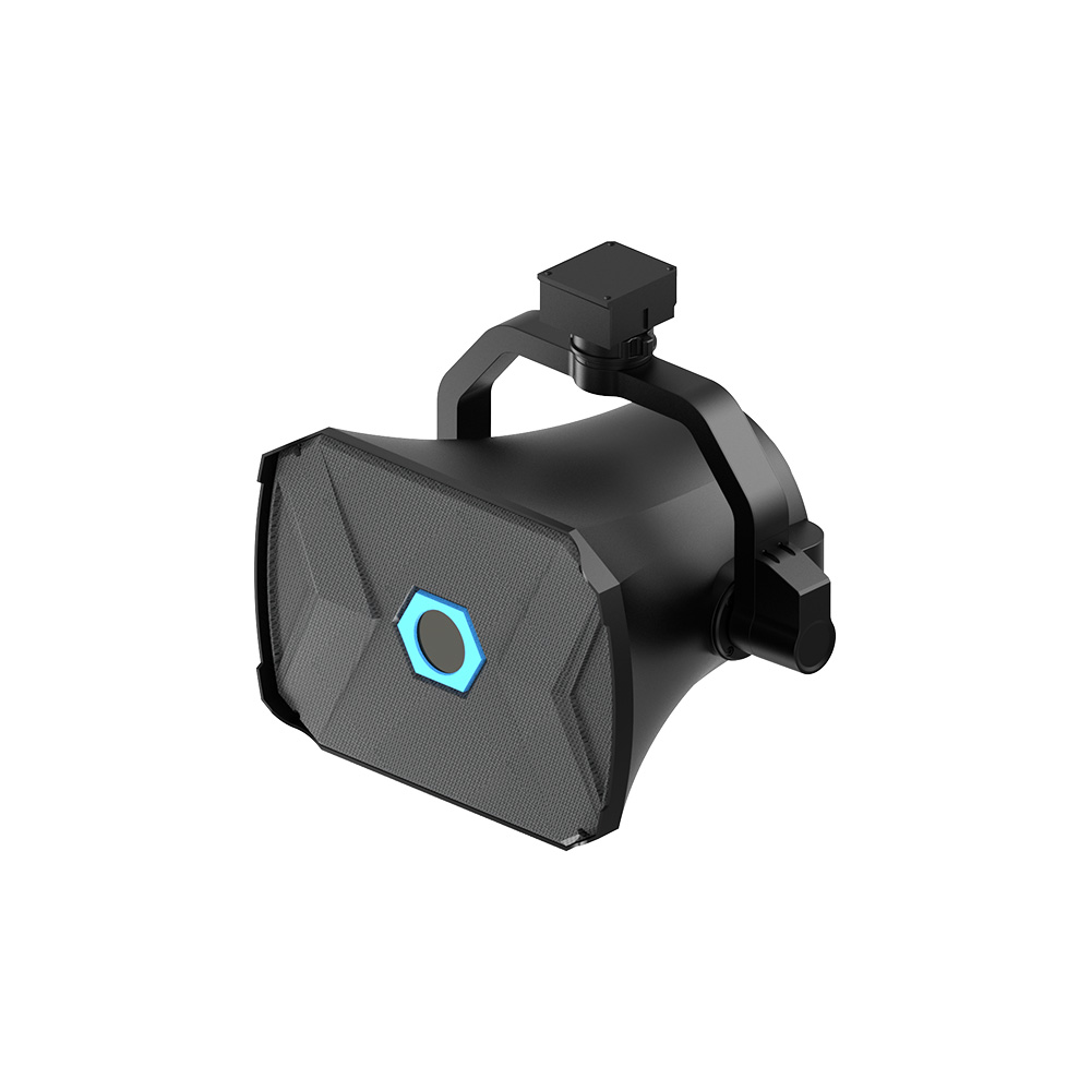
MMC P4 drone-mounted loudspeaker with a black grille and mounting bracket.
Component

MMC Hongtianlei P4 Drone Loudspeaker Payload

MMC

The MMC Hongtianlei P4 Drone Loudspeaker Payload provides airborne voice broadcasting through dedicated UAV and LTE links. Its 2.5 kg package combines directional sound output with a standard handheld microphone and color-screen control. Live announcements, recorded audio and text-to-speech support rescue coordination, large exercises and other broadcast tasks.

Bytech Technology Co., Ltd. WB100 UAV Firefighting Bucket
Component

Bytech WB100

By Bytech Technology Co., Ltd.

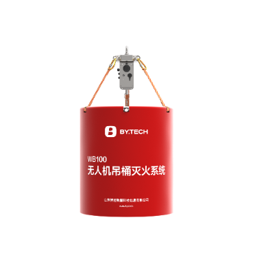
Bytech Technology Co., Ltd.’s WB100 is a cargo-drone firefighting bucket system with 80L and 150L water capacities. Its self-standing, foldable PVC construction supports ground filling and aerial water intake. Integrated drainage, ultrasonic liquid-level monitoring, navigation lights and emergency bucket release support controlled aerial water delivery.

Xingkai XK-F511RS gimbal camera with two front lenses and mounting plate
Component

Xingkai Xk-F511rs

Xingkai

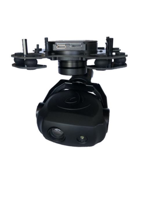
The Xingkai Xk-F511rs is an aerial imaging payload integrating a 10x optical zoom camera, a 640×480 thermal sensor and a three-axis stabilized ball-type gimbal. Its compact, 500±10g assembly supports network video, IP and UART control, picture-in-picture viewing and local TF recording, with temperature measurement available as an option.

A8 Mini gimbal camera with a front-facing lens and black housing
Component

TYI A8 Mini

TYI

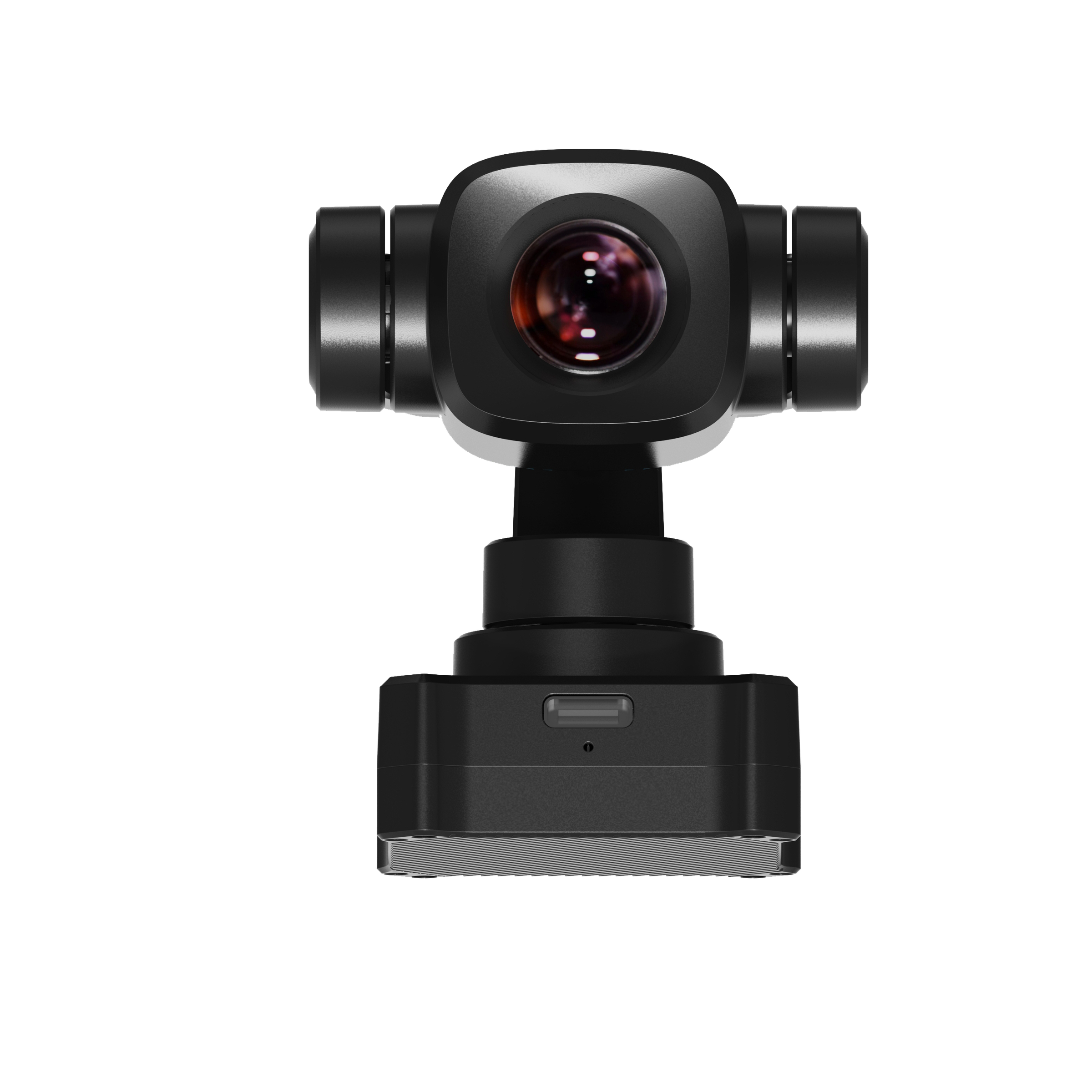
The TYI A8 Mini is a gimbal-mounted PTZ camera payload for UAV integration. Its stated imaging features comprise 4K Ultra HD, an 8MP resolution designation and 6X digital zoom, alongside AI recognition and tracking functions.

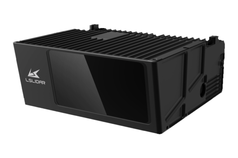
MS06 anti-collision LiDAR with a black finned housing and front sensor window
Component

MS06

By Shenzhen Leishen Intelligent Systems

The Leishen Intelligent System MS06 is a 1550 nm anti-collision LiDAR for helicopters, drones and other aircraft, supporting obstacle detection and mapping. It measures 243 × 220 × 96 mm and offers a 1200 m detection range, customizable to 2000 m, with identification of weak-reflecting objects beyond 300 m.

KEEP EXPLORING

Similar products

Browse all products ↗
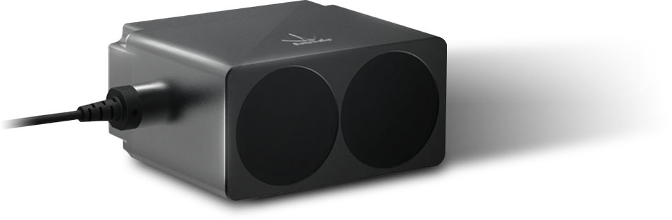
Benewake TF350 LiDAR sensor with two circular front windows and a side cable.
Cameras & sensors

Benewake TF350

Benewake

The Benewake TF350 is an enclosed, solid-state single-point LiDAR sensor for UAV and industrial integration. It combines a 0.2 ~ 350 m measurement range with a 0.35° field of view, four communication interface types and configurable operating modes. Its aluminum alloy housing carries an IP67 protection rating.

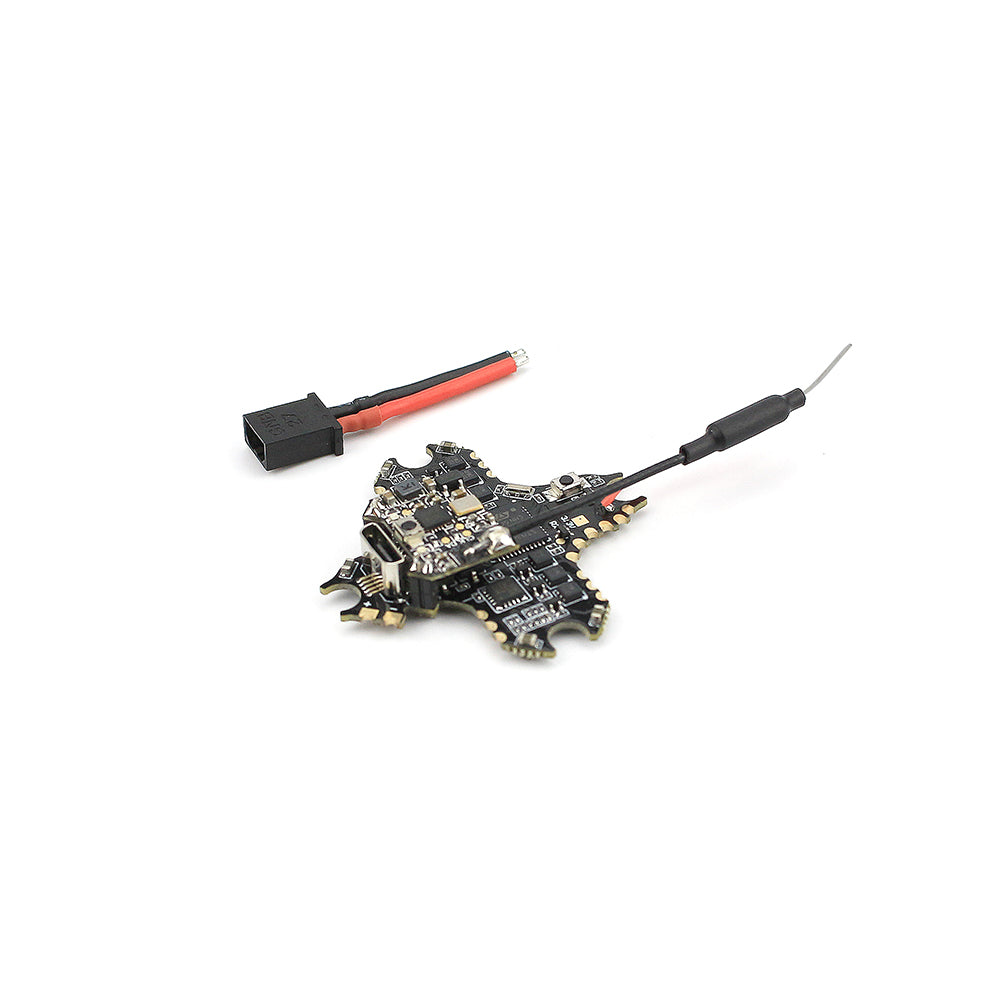
EMAX Nanohawk AIO flight controller board with antenna and power connector lead
Flight control & navigation

EMAX Nanohawk Spare Parts - AIO Flight Controller

By EMAX

The EMAX Nanohawk Spare Parts - AIO Flight Controller is a replacement FrSky BNF electronics assembly combining flight control, ESC and video transmission. It incorporates an F4 controller, MPU6000 gyro, 5A Bl Heli S ESC and 25mW VTX, with 1S input and a choice of soldered or connector motor connections.

Cameras & sensors

BWSENSING BW-VG325E

BWSENSING

The BWSENSING BW-VG325E is a CAN bus dynamic inclination sensor for unmanned aircraft, platform stabilization, robotics and machinery. It provides dynamic and static measurement with gyroscope drift compensation, bias tracking and Kalman filtering. Packaged and bare-board formats have specified dimensions, and maximum output frequency is 500Hz.