ChinaDroneRequest a quote →
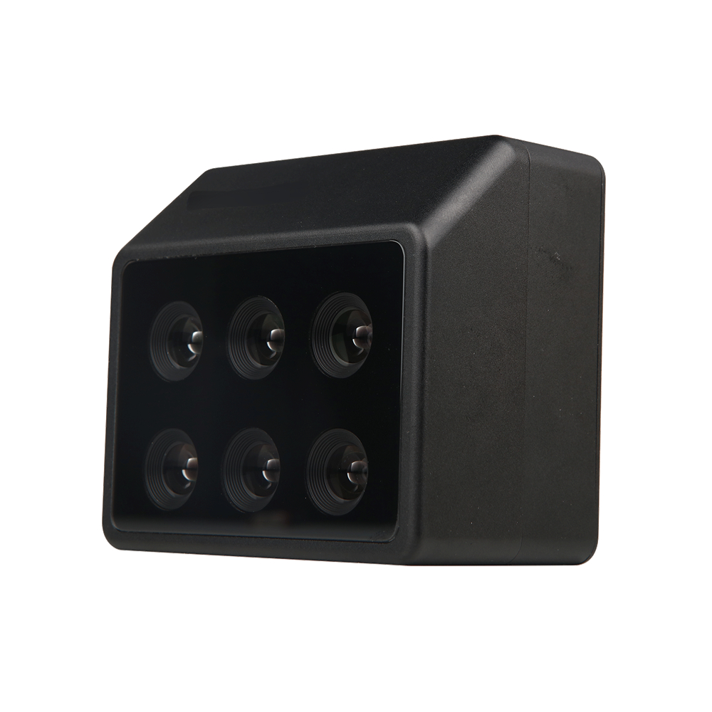
Skytech Multispectral Camera with six lenses in a black housingSkytech Multispectral Camera with six lenses in a black housing

Skytech Multispectral Camera

The Skytech Multispectral Camera combines up to 6 spectral channels and 17 selectable wavelengths for agriculture, water management, disaster assessment and specialized detection. Its main body handles mode configuration, data acquisition and storage, while the DLS measures ambient light and records system position. The camera is compatible with L120.

SkytechDrone cameras
Weight
275g (excluding DLS module)
Size
79mmx74mmx52 mm

Get a free quote

Product overview

The Skytech Multispectral Camera captures spectral data across up to 6 channels, with 17 selectable wavelengths. Its applications include agricultural monitoring, irrigation and yield assessment, water quality and resource surveys, disaster damage assessment and recovery, and specialized target detection. For vegetation work, it supports plant health assessment in agriculture, forestry and green spaces, pest and disease monitoring, crop germination tracking for research and planting, and evaluation of lodging damage to crops and trees after typhoons or floods.

The camera comprises a main body that configures modes, acquires data and stores it, plus a DLS component that measures ambient light and records system position. The body measures 79mmx74mmx52mm and weighs 275g excluding the DLS module. A 1/3-inch CMOS global shutter sensor provides 1.2 million effective pixels, paired with a 5.2mm focal length and F/2.2 aperture. Capture reaches 1 time/second across all channels. At 120m AGL, ground sample distance is 8.65cm/pix and typical swath width is 110m*83m. The camera is compatible with L120.

Cameras & sensorsMission payloads

Specifications

Skytech Multispectral Camera specifications
SpecificationValue & conditions
ProductSkytech Multispectral Camera
Spectral captureUp to 6 channels with 17 selectable wavelengths
ApplicationsAgricultural monitoring, irrigation and yield assessment; water quality and resource surveys; disaster damage assessment and recovery; specialized target detection
Plant assessment applicationsVegetation vigor, pest and disease monitoring, crop germination tracking, and assessment of weather-related lodging damage to crops and trees
ComponentsMain body for mode configuration, data acquisition and storage; DLS for ambient light measurement and system position recording
Size79mmx74mmx52mm
ApertureF/2.2
Weight275g (excluding DLS module)Excluding DLS module.
Quantization Bits12bit
Ground Sample Distance ResolutionGSD: 8.65cm/pix, AGL: 120mAGL: 120m.
Sensor ParametersCMOS: 1/3”: Global Shutter, Effective Pixels: 1.2 million pixels
StorageSupports up to 128G capacity, micro SD card with transfer speed reaching UHS-I Speed Class 3 (U3) rating
Sensor Size (W*H)4.8mm x 3.6mm
Maximum Capture Rate1 time/second (all channels)All channels.
Field of ViewHFOV: 49.6°, VFOV: 38°
Operating Temperature-10°C~+50°C (with a relative wind speed ≥1m/s)With a relative wind speed ≥1m/s.
Focal Length5.2mm
Storage Temperature-30°C~+70°C
Resolution1280×960
Typical Swath Width110m*83m @ AGL = 120mAGL = 120m.
Compatible ModelL120

Related guides