ChinaDroneRequest a quote →
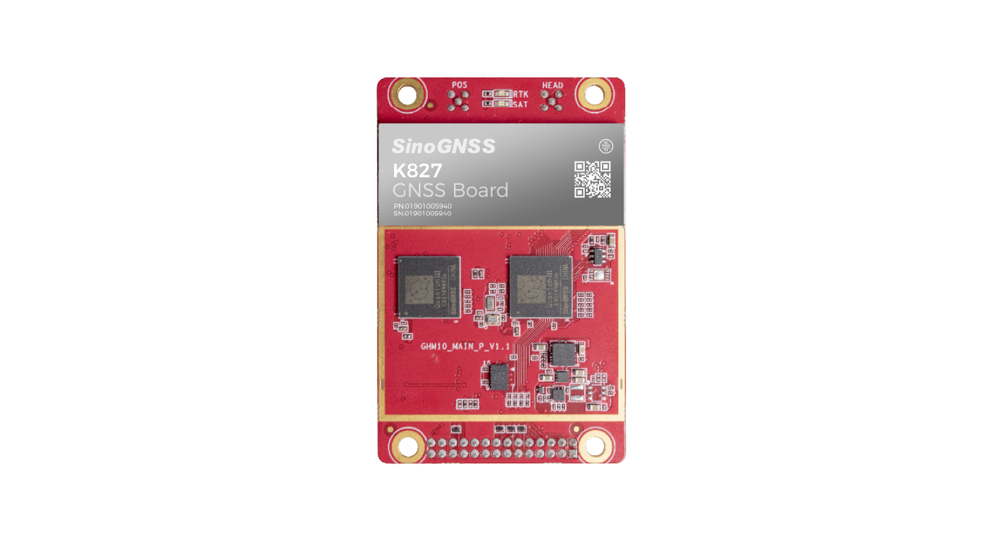
K827 GNSS positioning and heading board with a red circuit board and silver shieldK827 GNSS positioning and heading board with a red circuit board and silver shield

Sinan Daohang K827

The Sinan Navigation K827 is a compact, all-system, all-frequency RTK positioning and heading board for UAVs and other navigation applications. Measuring 46*71mm, it integrates an onboard IMU, supports multiple satellite systems and provides serial, SPI, EVENT and PPS interfaces for terminal integration.

Sinan DaohangDrone flight controller
Applications
Driver testing and training, precision agriculture, digital construction, robotics and UAVs.
Dimensions
46*71 mm

Get a free quote

Product overview

The Sinan Navigation K827 is an all-system, all-frequency high-precision RTK positioning and heading board for UAVs, robotics, precision agriculture, digital construction, and driver testing and training. Its compact 46*71mm construction incorporates an onboard IMU and supports integrated navigation. Satellite signal tracking covers BDS, GPS, GLONASS, Galileo, QZSS and IRNSS.

The K827 combines satellite positioning with an integrated navigation algorithm to maintain continuous high-precision positioning and heading information during satellite loss of lock. It also supports high-precision output in environments with substantial signal obstruction. A high refresh rate supports navigation applications, while serial, SPI, EVENT and PPS interfaces enable terminal integration. Its interfaces are compatible with mainstream boards.
Flight control & navigation

Specifications

Sinan Daohang K827 specifications
SpecificationValue & conditions
ProductSinan Navigation K827 all-system, all-frequency high-precision RTK positioning and heading board.
Dimensions46*71mm
Satellite signal trackingSupports signal tracking for BDS, GPS, GLONASS, Galileo, QZSS and IRNSS satellite systems.
Integrated equipmentBuilt-in onboard IMU with integrated navigation support.
Positioning and heading under obstructionCan continue to output high-precision positioning and heading information.In environments with substantial signal obstruction.
Navigation continuityContinues to provide continuous high-precision positioning and heading information.During satellite loss of lock, using the integrated navigation algorithm.
InterfacesSerial, SPI, EVENT and PPS interfaces.
Interface compatibilityInterfaces compatible with mainstream boards.
Refresh rateHigh refresh rate.
ApplicationsDriver testing and training, precision agriculture, digital construction, robotics and UAVs.

Related guides