ChinaDroneRequest a quote →
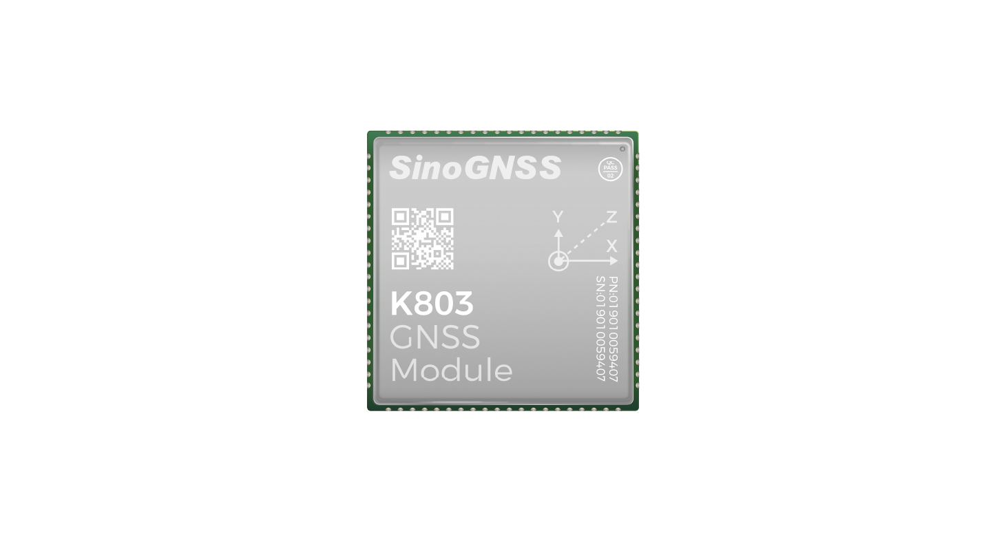
K803 GNSS module with a silver cover and green circuit board edgesK803 GNSS module with a silver cover and green circuit board edges

Sinan Daohang K803

The Sinan Navigation K803 is an all-system, all-frequency high-precision RTK GNSS positioning module for UAVs, robotics, surveying and monitoring. It combines a Quantum III chip, onboard IMU and interference mitigation in a 30*30mm format, with power consumption as low as 0.95w.

Sinan DaohangDrone flight controller
Applications
Robotics, UAVs, surveying and mapping, and ground-based augmentation
Dimensions
30*30 mm

Get a free quote

Product overview

The Sinan Navigation K803 combines all-system, all-frequency high-precision RTK positioning with a built-in onboard IMU supporting integrated navigation. Designed for robotics, UAVs, surveying and mapping, ground-based augmentation and intelligent monitoring, it tracks signals from BDS, GPS, GLONASS, Galileo, QZSS and IRNSS. L-Band support accompanies centimeter-level standalone positioning accuracy, while centimeter-level accuracy is also achievable in environments with signal obstruction.

Built around the Quantum III chip, the K803 incorporates narrowband and continuous-wave interference mitigation. Its 30*30mm dimensions support integration into demanding installations, with power consumption as low as 0.95w. The compact module brings satellite positioning and an onboard inertial measurement unit together for applications requiring high-precision positioning and integrated navigation.
Flight control & navigation

Specifications

Sinan Daohang K803 specifications
SpecificationValue & conditions
Product typeK803 full-function, high-precision GNSS positioning module with all-system, all-frequency RTK positioning
Integrated IMUBuilt-in onboard IMU; supports integrated navigation
ApplicationsRobotics, UAVs, surveying and mapping, and ground-based augmentation
Intelligent monitoringSupports intelligent monitoring applications
ChipQuantum III
Interference resistanceNarrowband and continuous-wave interference mitigation
L-Band supportSupports L-Band
Positioning accuracyCentimeter-level positioning accuracyStandalone operation
Positioning under obstructionCan achieve centimeter-level accuracyIn environments with substantial signal obstruction
Satellite signal trackingBDS, GPS, GLONASS, Galileo, QZSS and IRNSS
Dimensions30*30mm
Power consumptionAs low as 0.95w

Related guides