Product overview
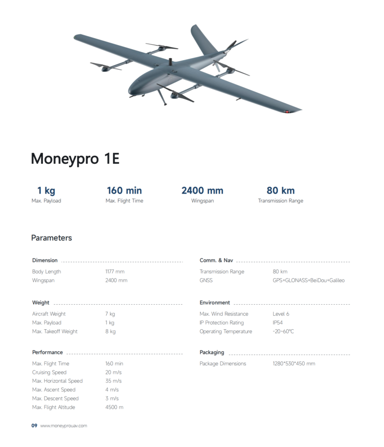
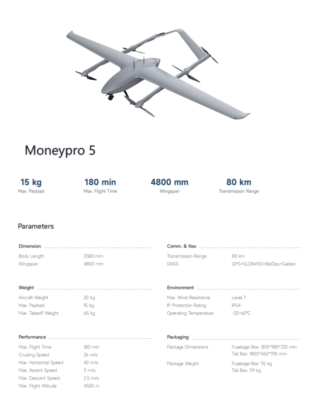
The SAT L900 Long Range Battery Drone combines vertical take-off and landing with horizontal flight, enabling take-off from a small space without a runway. Its modular construction incorporates flight control systems, automatic takeoff and landing, obstacle avoidance systems, and GPS navigation. Designed to carry optical systems or mapping cameras, the drone supports surveying, mapping, long-range observation, aerial photography, surveillance, and emergency rescue. Further applications include inspecting power plants, oil rigs, and pipelines, as well as monitoring crop growth, measuring soil moisture, and surveying farmland.
The L900 has a mission payload of 500g, a maximum payload of 1kg, and a maximum take-off weight of 7kg. Maximum speed is 90km/h, cruising speed is ≤70km/h, and maximum range is 70km-90km. Flight altitude is 3000m AMSL, with Level 6 (10.8m/s) wind resistance. Flights carrying sports cameras can last up to 45 minutes. Optional datalinks offer 30km and 50km choices with high-definition real-time data and video transmission. Customization includes higher-resolution cameras, upgraded obstacle avoidance systems, specialized industrial inspection sensors, and custom paint colors or designs.