ChinaDroneRequest a quote →

MoneyPro RTK GNSS Board MP-357B

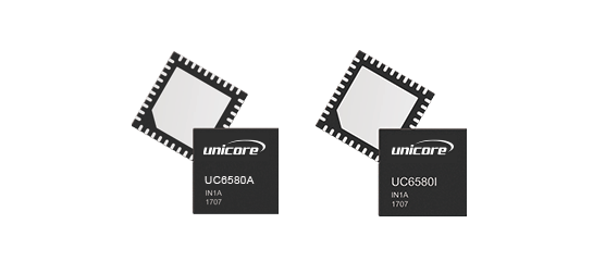
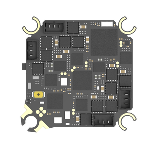
The MoneyPro RTK GNSS Board MP-357B is a high-precision positioning module combining RTK technology with six GNSS constellations for centimeter-level accuracy. Designed for precision agriculture, autonomous industrial robotics, and urban infrastructure surveying, it features ruggedized construction and UART, SPI, and Ethernet interfaces.

MoneyProDrone GPS
Positioning accuracy
Centimeter-level

Get a free quote

Product overview

The MoneyPro RTK GNSS Board MP-357B is an upgraded positioning module for applications that require precise location data. It combines Real-Time Kinematic technology with support for GPS, GLONASS, Beidou, Galileo, QZSS, and NavIC to deliver centimeter-level positioning accuracy. Its applications include precision seeding in smart agriculture, autonomous industrial robotics, and high-precision surveying of urban infrastructure. UART, SPI, and Ethernet interfaces provide connection options for integration with a range of host systems.

The board uses a ruggedized design that resists moisture and electromagnetic interference and operates across a temperature range of -40°C to 85°C. Its optimized signal tracking algorithm reduces positioning convergence time while maintaining strong satellite lock in challenging surroundings, including dense foliage and urban canyons with limited sky visibility. Together, its environmental resistance, signal tracking features, and connectivity options support high-precision positioning work in demanding field conditions.
Flight control & navigation

Specifications

MoneyPro RTK GNSS Board MP-357B specifications
SpecificationValue & conditions
ProductMoneyPro RTK GNSS Board MP-357B
Module typeUpgraded high-precision positioning module
Positioning technologyReal-Time Kinematic (RTK)
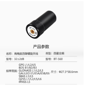
Supported GNSS constellationsGPS, GLONASS, Beidou, Galileo, QZSS, and NavIC
Positioning accuracyCentimeter-level
ApplicationsSmart agriculture precision seeding; autonomous industrial robotics; high-precision urban infrastructure surveying
Construction and environmental resistanceRuggedized design with resistance to moisture and electromagnetic interference
Operating temperature range-40°C to 85°C
InterfacesHigh-speed UART, SPI, and Ethernet
Signal trackingOptimized signal tracking algorithm reduces positioning convergence time and maintains strong satellite lockDense foliage or urban canyons with limited sky visibility.

Related guides