ChinaDroneRequest a quote →

RTK GNSS Board MP-289

The Moneypro RTK GNSS Board MP-289 is an industrial-grade positioning module combining RTK technology with five-constellation GNSS support for centimeter-level accuracy. Designed for applications including surveying, precision agriculture and autonomous vehicle navigation, it features robust hardware, standard industrial interfaces and indicators for data output and positioning status.

MoneyProDrone GPS
Positioning accuracy
Centimeter-level positioning accuracy
Supported constellations
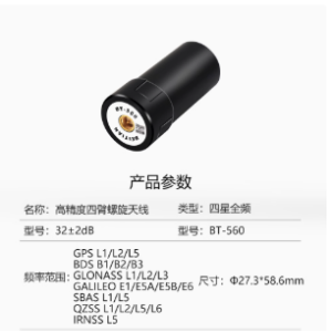
GPS, GLONASS, Beidou, Galileo and QZSS

Get a free quote

Product overview

The Moneypro RTK GNSS Board MP-289 is an industrial-grade positioning module for precision-dependent applications. It combines Real-Time Kinematic technology with support for GPS, GLONASS, Beidou, Galileo and QZSS to provide centimeter-level positioning accuracy. Its applications include land surveying, precision agriculture and autonomous vehicle navigation, as well as Internet of Things trackers, car navigation and wearables. Optimized signal processing supports fast positioning convergence and stable data output for real-time decision-making.

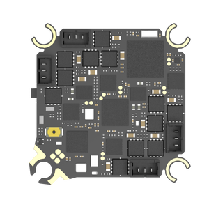
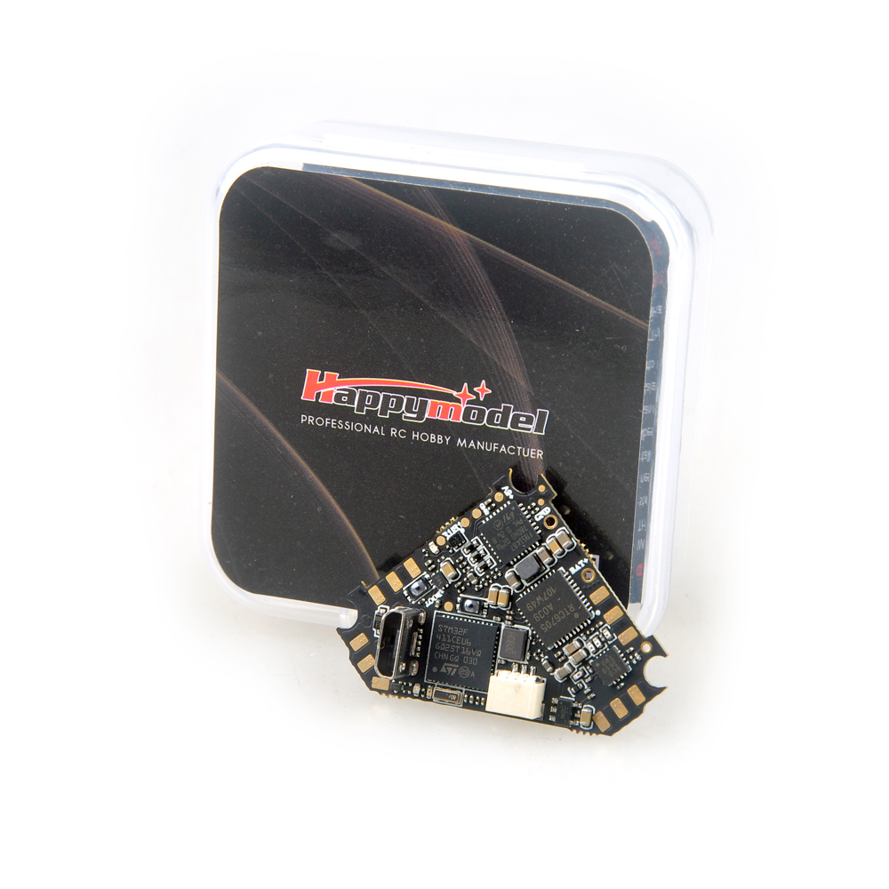
The board features robust hardware designed to withstand harsh operating conditions, including extreme temperatures and electromagnetic interference. Standard industrial interfaces provide flexible connectivity with various host systems. Two indicators communicate operating status: the blue TX light flashes when the device is powered on to indicate active data output, while the PPS light remains off before positioning is completed and begins flashing once the module achieves successful 3D positioning.
Flight control & navigation

Specifications

RTK GNSS Board MP-289 specifications
SpecificationValue & conditions
Product typeMP-289 industrial-grade RTK GNSS positioning module
Positioning technologyReal-Time Kinematic (RTK) with multi-constellation GNSS support
Supported constellationsGPS, GLONASS, Beidou, Galileo and QZSS
Positioning accuracyCentimeter-level positioning accuracy
ApplicationsLand surveying, precision agriculture and autonomous vehicle navigation
Hardware designRobust hardware designed to withstand harsh operating conditions, including extreme temperatures and electromagnetic interference
ConnectivityStandard industrial interfaces for connection to various host systems
Signal processingOptimized signal processing for fast positioning convergence and stable data output
TX indicatorBlue flashing light indicates active data outputDevice powered on.
PPS indicatorOff before positioning is completed; flashes once 3D positioning is achievedBefore positioning is completed and after successful 3D positioning.
Additional applicationsInternet of Things trackers, car navigation and wearables

Related guides