ChinaDroneRequest a quote →
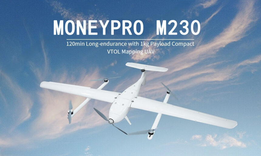
Moneypro M230 white fixed-wing VTOL mapping UAV against a blue skyMoneypro M230 white fixed-wing VTOL mapping UAV against a blue sky

Moneypro M230

The Moneypro M230 is a compact VTOL mapping UAV for surveying, disaster response, precision agriculture and pipeline inspection. Its glass-fiber reinforced construction, tool-free assembly and backpack transport configuration support one-person operations. A 100km operational radius, custom payload mounting rails and triple IMU/GNSS failover architecture support varied field missions.

MoneyProAgricultural drone
Wingspan
2,300 mm

Get a free quote

Product overview

The Moneypro M230 compact VTOL mapping UAV combines a 2,300mm wingspan with a glass-fiber reinforced body and an 8.2kg maximum takeoff weight. Its T-tail design increases payload capacity by 15% versus conventional tails, while custom-mount rails provide the payload bay mounting interface. A tool-free snap-lock mechanism supports solo assembly, and the aircraft breaks down to fit standard survey backpacks. The one-person workflow supports border and rural operations. Brushless motors optimized for low-RPM efficiency work alongside a triple IMU/GNSS failover architecture.

The M230 has a 100km operational radius, 90km/h cruise and maximum speeds, a 5m/s climb rate and a 3,000m ceiling. Unloaded flight duration is 160min. Native accuracy is 0.1m, with 0.03m RTK accuracy. The aircraft operates from -10°C to 50°C with an IP43 rating; its reinforced body withstands 12m/s gusts at 8.2kg MTOW, and wind resistance is Level 5. Recommended mission payloads include a thermal camera and loudspeaker for disaster response, multispectral sensors for agriculture, and a 30x zoom camera for pipeline inspection.
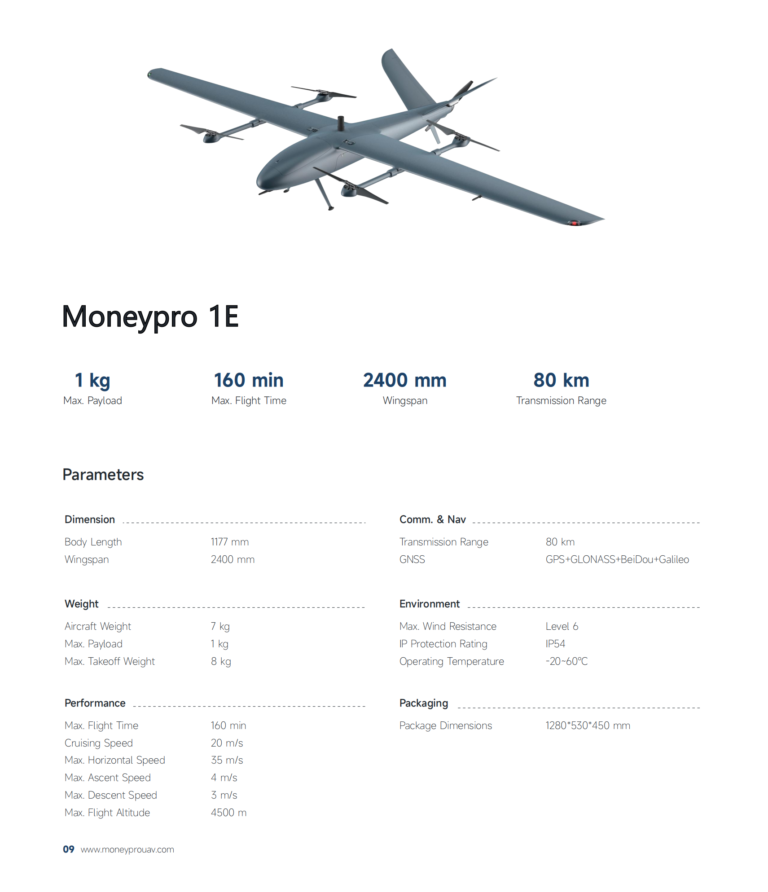
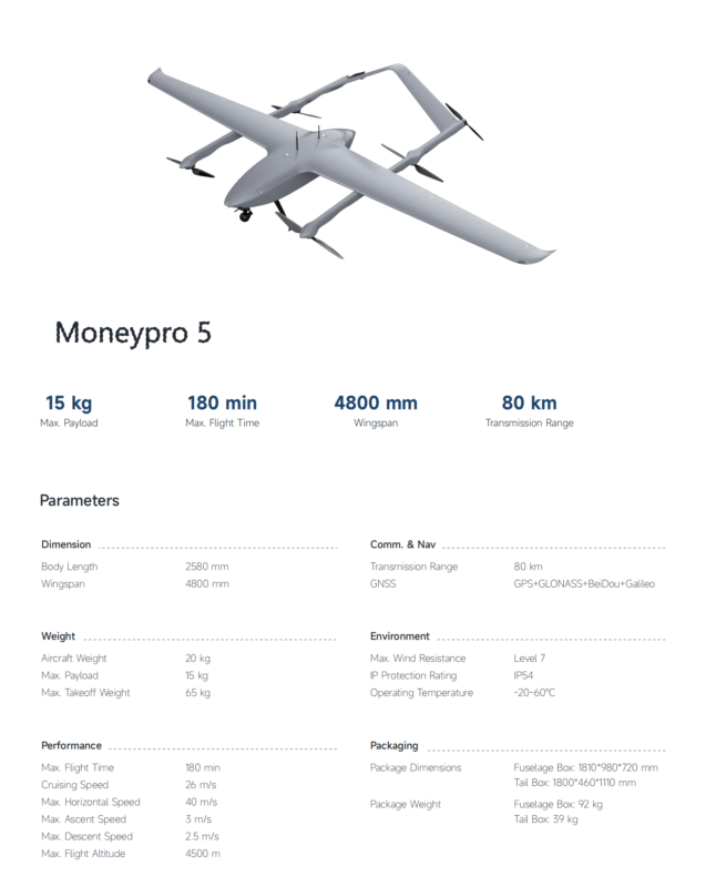
AgricultureSurveying & inspectionFire & rescue

Specifications

Moneypro M230 specifications
SpecificationValue & conditions
Product identityMoneypro M230 compact VTOL mapping UAV
Assembly mechanismTool-free snap-lock mechanism supporting solo assembly
Transport configurationDisassembles for compact transport in standard survey backpacks
Operating workflowOne-person workflow for border and rural operations
T-tail lift design15% increased payload capacity versus conventional tailsCompared with conventional tails.
Composite airframeGlass-fiber reinforced body withstands 12m/s gustsAt 8.2kg MTOW.
Exposed ESC coolingAluminum heat sinks maintain optimal temperaturesDuring 120-min flights.
Operating environment-10°C to 50°C operational range; IP43-rated
Unloaded flight duration160minUnloaded.
Operational radius100km
Maximum speed90km/h
Ceiling altitude3,000m
Disaster response applicationSurvivor location across 8km²/120minRecommended payload: thermal camera and loudspeaker.
Precision agriculture applicationScan 300ha per flight at 2cm GSDRecommended payload: multispectral sensors.
Pipeline inspection applicationDocument 50km of infrastructure/dayRecommended payload: 30x zoom camera.
Propulsion systemBrushless motors optimized for low-RPM efficiency
Flight control redundancyTriple IMU/GNSS failover architecture
Wingspan2,300mm
Maximum takeoff weight8.2kg
Payload bayCustom-mount rails
Cruise speed90km/h
Climb rate5m/s
Native accuracy0.1m
RTK accuracy0.03mWith RTK.
Wind resistanceLevel 5