ChinaDroneRequest a quote →

PPK&RTK

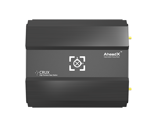
Guangzhou Jizhi High-tech Co., Ltd. PPK&RTK combines multi-system satellite support with synchronized camera exposure recording for precise exposure time and position information. It integrates with Jizhi flight control and ground station systems, supports installation position correction, and can reduce ground control points by more than 80%.

JizhiDrone GPS

Get a free quote

Product overview

Guangzhou Jizhi High-tech Co., Ltd. PPK&RTK supports GPS L1/L2, GLONASS L1/L2, BDS B1/B2 and Galileo, with joint processing of three satellite systems for higher accuracy. Synchronized camera shutter exposure recording captures precise time and position information at the moment of exposure, and the system can reduce ground control points by more than 80%. PPK&RTK integrates seamlessly with Jizhi flight control and the Jizhi ground station. It also supports installation position correction, compatibility with base stations from multiple brands, and user-friendly PPK post-processing software.

Flight control & navigation
Specifications

PPK&RTK specifications
SpecificationValue & conditions
Supported satellite systems and bandsGPS (L1, L2), GLONASS (L1, L2), BDS (B1, B2), and Galileo.
Ground control point reductionCan reduce ground control points by more than 80%.
Camera exposure recordingSynchronized camera shutter exposure recording captures precise time and position information at the moment of exposure.
Flight control and ground station integrationSeamless integration with Jizhi flight control and the Jizhi ground station.
Positioning calculationJoint processing of three satellite systems for higher accuracy.
Post-processing softwareUser-friendly PPK post-processing software.
Base station compatibilityCompatible with base stations from multiple brands.
Installation position correctionSupports installation position correction.

Related guides