Product overview
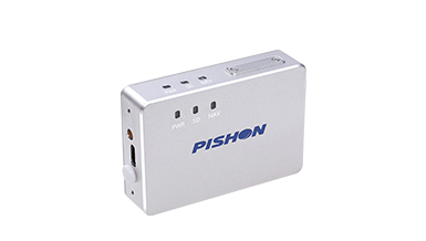
The Hi-Target UAV-381-PPK is an airborne PPK positioning unit for UAV aerial photogrammetry. It observes GNSS signals across all constellations and supports a joint solution using three satellite systems. Camera shutter synchronization records the precise time and position of exposure, supporting centimeter-level photogrammetric accuracy. Its PPK workflow reduces ground control requirements: the stated reduction is 80%, with a separate operating range of 75%–85% for aerial survey work. These functions support survey capture with fewer ground control points.
The airborne unit weighs 77 g net, with total weight below 100 g, giving integrators a lightweight positioning component to accommodate aboard a survey UAV. Type-C multiplexing reduces connector count, while double-sided LED indicators reduce installation restrictions. The unit supports direct avionics connection, consumes 2 W and accepts 6–30 V DC power. Data updates are 5 Hz as standard, with 20 Hz also specified; the stated flight operating radius is 20 km.
Specifications
| Specification | Value & conditions |
|---|---|
| Product model | Hi-Target UAV-381-PPK |
| Positioning accuracy | Centimeter-level accuracyWith PPK workflow optimization for aerial photogrammetry. |
| Ground control point reduction | 80%With PPK workflow optimization. |
| Ground control point reduction range | 75%–85%For aerial surveying operations. |
| GNSS signal observation | All-constellation GNSS signal observation; joint solution using three satellite systems |
| Exposure event recording | Records precise time and position information at camera exposureWith camera shutter exposure synchronization. |
| Net weight | 77 gAirborne unit net weight. |
| Total weight | Less than 100 gTotal weight. |
| Interface architecture | Type-C multiplexing reduces the number of interfaces |
| Status indicators | Double-sided LED indicators |
| Power consumption | 2 WWhole unit. |
| Supported input voltage | 6–30 V DCDC supply. |
| Avionics connection | Direct connection to avionics |
| Data update rate | 5 Hz (standard), 20 Hz5 Hz is the standard rate. |
| Flight operating radius | 20 km |
Request a quote for Hi-Target UAV-381-PPK
Send your application, destination country and expected quantity to the ChinaDrone team. We can discuss product selection, configuration and sourcing from China.
Submit your procurement requirements ↗No account needed. A model number is optional. Your enquiry is handled by ChinaDrone.