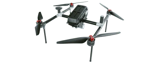
Product overview
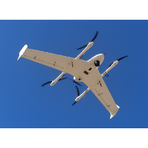
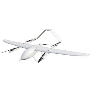
The Feima Robotics E3000 is an intelligent aerial survey system for professional mapping work. Its standard survey payload combines an APS-C sensor, 25.2MP image resolution and a mechanical global shutter, with adjustable ISO and white balance settings. It supports three operating modes: ortho, oblique and video. Feima Robotics states a takeoff weight of 2.95kg, endurance of 60 minutes and flight distance of 50km.
The E3000 is intended for high-precision topographic mapping and 3D modeling, with civilian applications including urban planning, integrated land and housing mapping, lake and river boundary delineation, and reservoir and village surveys. Its features include dual differential antennas described as providing interference resistance, alongside a stated 1:500 mapping capability without ground control points. The aircraft also has a return function designed to operate without a GNSS signal.
Specifications
| Specification | Value & conditions |
|---|---|
| Model | E3000Product identification. |
| Survey payload | 25.2MP global shutter; ortho, oblique and video modesStandard aerial survey payload. |
| Takeoff weight | 2.95kg |
| Endurance | 60mins |
Request a quote for Feima Robotics E3000
Send your application, destination country and expected quantity to the ChinaDrone team. We can discuss product selection, configuration and sourcing from China.
Submit your procurement requirements ↗No account needed. A model number is optional. Your enquiry is handled by ChinaDrone.