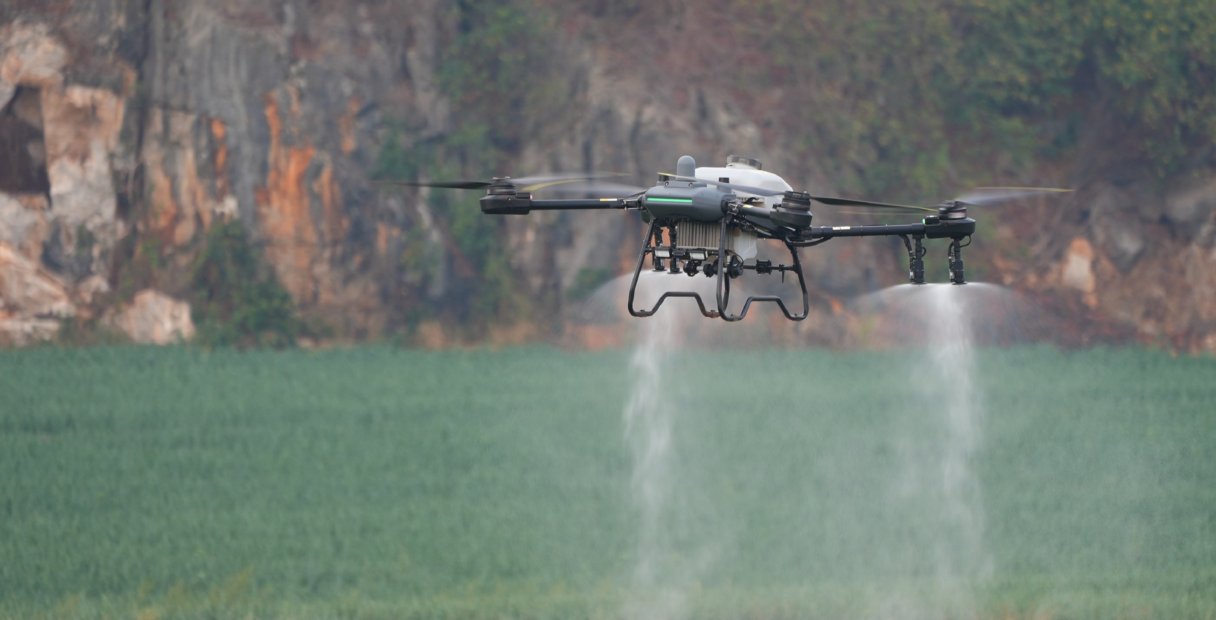
Product overview
Its radar and binocular vision support obstacle avoidance and terrain following.
The aircraft can survey and map orchards and farmland where terrain slopes are less than 15°.
Its mapping plans can be completed on the Intelligent Remote Controller without a separate computer.
Specifications
| Specification | Value & conditions |
|---|---|
| Surveying and mapping | Supported for orchards and farmlandTerrain slopes must be less than 15°. |
| Mapping controller | Mapping plans can be completed using the Intelligent Remote ControllerNo separate computer required. |
Request a quote for DJI AGRAS T40
Send your application, destination country and expected quantity to the ChinaDrone team. We can discuss product selection, configuration and sourcing from China.
Submit your procurement requirements ↗No account needed. A model number is optional. Your enquiry is handled by ChinaDrone.