ChinaDroneRequest a quote →
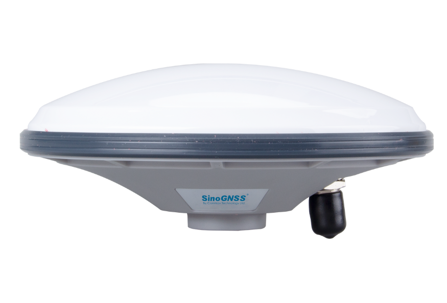
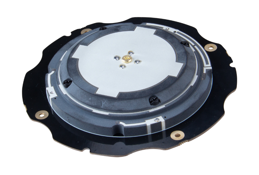
ComNav AT360 geodetic antenna with a white domed housing and gray baseComNav AT360 geodetic antenna with a white domed housing and gray base

ComNav AT360 Geodetic Antenna

The ComNav AT360 Geodetic Antenna provides multi-constellation, multi-frequency GNSS reception for land survey, agriculture, construction and deformation monitoring. It combines a low-noise amplifier, high gain and low-elevation satellite tracking with an IP67 waterproof and dustproof design, a TNC female connector and a 3.3 - 15 VDC operating range.

ComNavDrone antennas
Applications
Land survey, agriculture, construction and deformation monitoring
Weight
≤ 500g
Dimension
Φ147×67.7 mm

Get a free quote

Product overview

The ComNav AT360 Geodetic Antenna supports multi-constellation, multi-frequency GNSS reception for land survey, agriculture, construction and deformation monitoring systems. Its signal coverage includes GPS, GLONASS, BeiDou, Galileo, QZSS, IRNSS, SBAS and L-Band. A low-noise amplifier and high gain support signal reception and satellite tracking at low elevation angles. LNA gain is 40dB ± 2dB, with a noise figure of ≤ 2dB. The antenna uses RHCP polarization and provides 5.5dBi gain at zenith, with a phase center offset of ± 2mm.

The AT360 measures Φ147×67.7 mm, weighs ≤ 500g and features a TNC female connector. Its IP67 waterproof and dustproof design supports outdoor use, with an operating temperature range of -40°C to +85°C and a storage temperature range of -55°C to +85°C. Humidity tolerance is 95% under non-condensing conditions. The antenna operates from 3.3 - 15 VDC and draws ≤ 45mA. Electrical specifications include 50Ω nominal impedance, output VSWR of ≤ 2.0 and passband ripple of ± 2dB.
Flight control & navigation

Specifications

ComNav AT360 Geodetic Antenna specifications
SpecificationValue & conditions
ProductComNav AT360 Geodetic Antenna
ApplicationsLand survey, agriculture, construction and deformation monitoring
Tracking and measurement featuresLow-noise amplifier, high gain, satellite tracking at low elevation angles and millimeter-level phase center error
GPSL1, L2, L5
GLONASSG1, G2, G3
BeidouB1I, B2I, B3I, B1C, B2a, B2b
GalileoE1, E5a, E5b, E6c
QZSSL1, L2, L5, L6
IRNSSL5
SBASL1, L5
L-band supportL-Band
Nominal Impedance50Ω
PolarizationRHCP
Axial Ratio≤ 3dB90°
LNA Gain40dB ± 2dB
Noise Figure≤ 2dB
VSWR Output≤ 2.0
Operation Voltage3.3 - 15 VDC
Operation Current≤ 45mA
Passband Ripple± 2dB
Gain5.5dBiAt zenith
Phase Center Offset± 2mm
DimensionΦ147×67.7 mm
ConnectorTNC Female connector
Weight≤ 500g
Operating Temperature-40°C to +85°CDuring operation
Storage Temperature-55°C to +85°CDuring storage
Humidity95%Non-condensing
Waterproof and DustproofIP67

Related guides