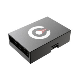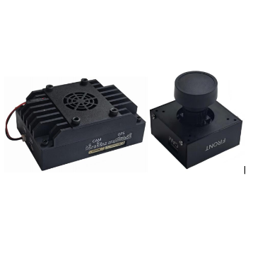
Product overview
The device estimates an aircraft’s position by matching flight-area images from downward-looking visible-light or infrared sensors and applying target recognition algorithms.
It supports autonomous navigation and positioning for multirotor and fixed-wing aerial vehicles, including unmanned aircraft, without relying on satellite navigation.
The exhibitor states that the device maintains stable operation when GPS signals are weak, interfered with or unavailable.
Specifications
| Specification | Value & conditions |
|---|---|
| Position estimation | Visual matching and target recognition using downward-looking visible-light or infrared imageryImages are acquired through sensors mounted on the aerial vehicle. |
| GPS operating conditions | Reported stable operationGPS signals are weak, interfered with or unavailable; this is an exhibitor claim. |
Request a quote for FaLconX2
Send your application, destination country and expected quantity to the ChinaDrone team. We can discuss product selection, configuration and sourcing from China.
Submit your procurement requirements ↗No account needed. A model number is optional. Your enquiry is handled by ChinaDrone.