Product overview
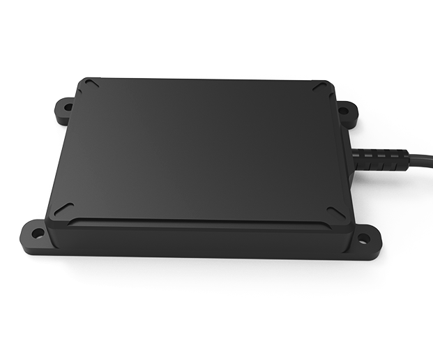
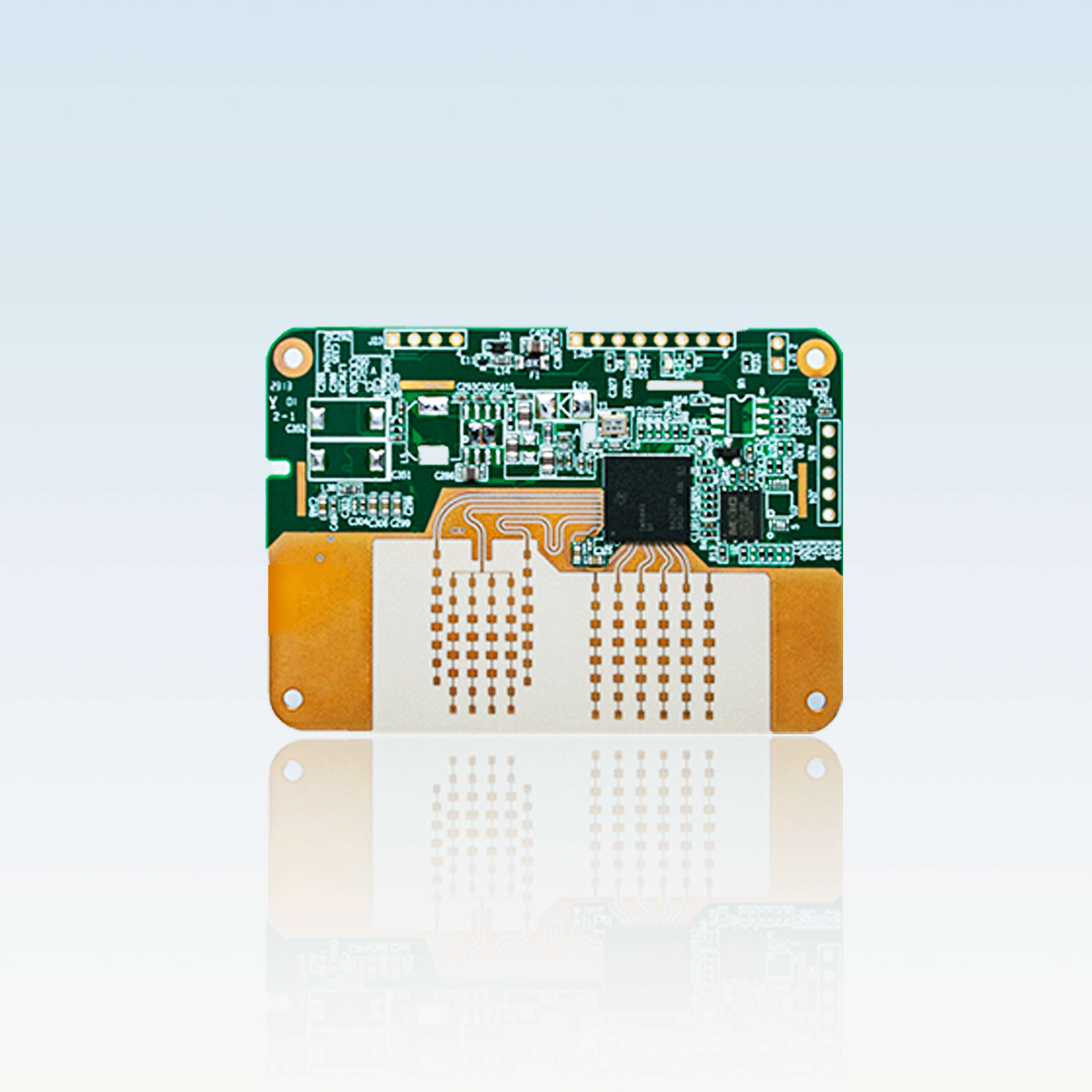
The Linpowave U200A Drone Altitude Measurement Radar is an altitude-sensing module for UAV integration. Its intended functions include maintaining flight height, following changing terrain, supporting precision landing, and assisting low-altitude hovering during inspections or photography. The physical package measures 70×50×5.5mm and weighs approximately 10g, providing a slim integration footprint for multirotor and fixed-wing aircraft. Average power consumption is 2W. The product is a radar sensor module rather than a complete flight platform or an airframe kit.
Standard connectivity is TTL, with CAN and 422 offered as options. Power choices are 5V / 1A, 12V / 0.5A, or optional 13–30V. Adjustable measurement spans 0.2–200m, with ±0.2m accuracy, 0.8m distance resolution, and refresh rates up to 20Hz. Output fields are X, Y, Z, and V. Frequency listings include both 60–64GHz and 77–81GHz, while the detailed performance parameters specify 77–81GHz. Operating limits are -40°C to +85°C and 5%–90% RH without condensation; environmental capabilities include operation in fog, rain, dust, and varied lighting.
Specifications
| Specification | Value & conditions |
|---|---|
| Manufacturer and model | Linpowave U200A Drone Altitude Measurement Radar |
| Product type and purpose | Millimeter-wave altitude measurement sensor for UAVs and drones |
| Listed frequency ranges | 60GHz - 64GHz / 77GHz - 81GHz |
| Frequency in performance parameters | 77–81 GHz |
| Frequency in specification listing | 60–64GHz |
| Measuring range | 0.2–200 mAdjustable measuring range. |
| Detection range | 200m |
| Angular accuracy | 1 degree |
| Azimuth field of view | 120 degrees; horizontal ±60° |
| Elevation field of view | 24 degrees |
| Directional field of view | Horizontal ±60°, vertical ±12° |
| Range accuracy | 0.2m |
| Measurement accuracy | ±0.2 m |
| Distance resolution | 0.8 m |
| Module mass | ~10g |
| Module dimensions | 70×50×5.5mm |
| Power consumption | 2W averageAverage power consumption. |
| Velocity detection | ±20 m/sAdjustable velocity detection. |
| Data output | X, Y, Z, V |
| Refresh rate | Up to 20 HzAdjustable refresh rate. |
| Interfaces | TTL; optional CAN / 422TTL standard; CAN and 422 optional. |
| Power options | 5V / 1A, 12V / 0.5A, or optional 13–30V13–30V option is optional. |
| Operating temperature | -40°C ~ +85°C |
| Humidity tolerance | 5%–90% RHNon-condensing. |
| Mounting applications | Mounting on multirotor and fixed-wing UAVs |
| Environmental operation | Operation in fog, rain, dust, and varied lightingFog, rain, dust, and varied light conditions. |
| Interference resistance | EMC-compliant design for interference resistanceIndustrial or urban environments. |
Request a quote for U200A Drone Altitude Measurement Radar
Send your application, destination country and expected quantity to the ChinaDrone team. We can discuss product selection, configuration and sourcing from China.
Submit your procurement requirements ↗No account needed. A model number is optional. Your enquiry is handled by ChinaDrone.